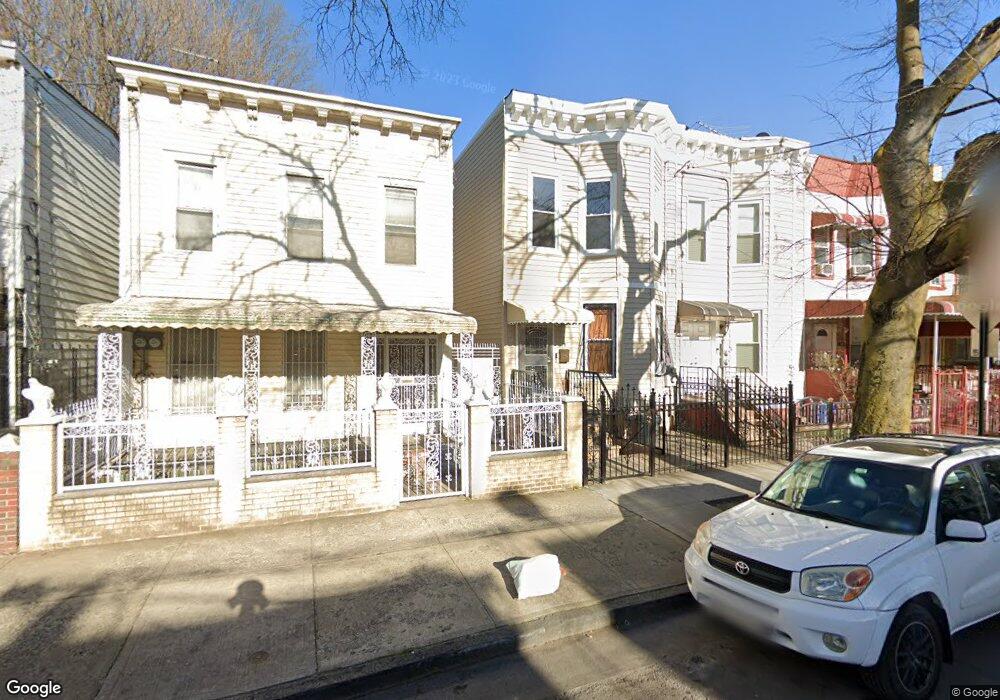
173 Ashford St Brooklyn, NY 11207
Cypress Hills NeighborhoodEstimated Value: $813,990 - $956,000
--
Bed
--
Bath
2,016
Sq Ft
$438/Sq Ft
Est. Value
About This Home
This home is located at 173 Ashford St, Brooklyn, NY 11207 and is currently estimated at $883,248, approximately $438 per square foot. 173 Ashford St is a home located in Kings County with nearby schools including P.S. 108 - Sal Abbracciamento, Liberty Avenue Middle School, and Vista Academy.
Ownership History
Date
Name
Owned For
Owner Type
Purchase Details
Closed on
Sep 8, 2023
Sold by
Mccall Jennifer L
Bought by
Mccall Jennifer L and Mccall Tarrell Jeffrey
Current Estimated Value
Purchase Details
Closed on
Sep 17, 2011
Sold by
Mccall Jennifer and Mccall Marquetta
Bought by
Mccall Jennifer and Mccall Mary
Purchase Details
Closed on
Apr 2, 2004
Sold by
Mccall Jennifer and Mccall Mary
Bought by
Mccall Jennifer and Mccall Mary
Purchase Details
Closed on
Jan 28, 1998
Sold by
Mccall Mary
Bought by
Mccall Mary and Mccall Jennifer L
Create a Home Valuation Report for This Property
The Home Valuation Report is an in-depth analysis detailing your home's value as well as a comparison with similar homes in the area
Home Values in the Area
Average Home Value in this Area
Purchase History
| Date | Buyer | Sale Price | Title Company |
|---|---|---|---|
| Mccall Jennifer L | -- | -- | |
| Mccall Jennifer L | -- | -- | |
| Mccall Jennifer L | -- | -- | |
| Mccall Jennifer | -- | -- | |
| Mccall Jennifer | -- | -- | |
| Mccall Jennifer | -- | -- | |
| Mccall Jennifer | -- | -- | |
| Mccall Mary | -- | -- | |
| Mccall Mary | -- | -- |
Source: Public Records
Tax History Compared to Growth
Tax History
| Year | Tax Paid | Tax Assessment Tax Assessment Total Assessment is a certain percentage of the fair market value that is determined by local assessors to be the total taxable value of land and additions on the property. | Land | Improvement |
|---|---|---|---|---|
| 2025 | $4,941 | $59,460 | $12,900 | $46,560 |
| 2024 | $4,941 | $66,300 | $12,900 | $53,400 |
| 2023 | $4,713 | $64,800 | $12,900 | $51,900 |
| 2022 | $4,371 | $52,320 | $12,900 | $39,420 |
| 2021 | $4,524 | $55,320 | $12,900 | $42,420 |
| 2020 | $2,249 | $46,260 | $12,900 | $33,360 |
| 2019 | $4,288 | $39,960 | $12,900 | $27,060 |
| 2018 | $3,645 | $19,340 | $7,905 | $11,435 |
| 2017 | $3,420 | $18,247 | $8,916 | $9,331 |
| 2016 | $3,271 | $17,914 | $7,435 | $10,479 |
| 2015 | $1,856 | $17,914 | $7,246 | $10,668 |
| 2014 | $1,856 | $17,083 | $8,152 | $8,931 |
Source: Public Records
Map
Nearby Homes
- 175 Ashford St
- 171 Ashford St
- 177 Ashford St
- 167 Ashford St
- 179 Ashford St
- 183 Ashford St
- 183 Ashford St
- 165 Ashford St
- 185 Ashford St
- 163 Ashford St
- 266 Cleveland St
- 266 Cleveland St Unit 2
- 262 Cleveland St Unit 6
- 262 Cleveland St
- 268 Cleveland St
- 268 Cleveland St Unit 2
- 187 Ashford St
- 256 Cleveland St
- 270 Cleveland St
- 159 Ashford St