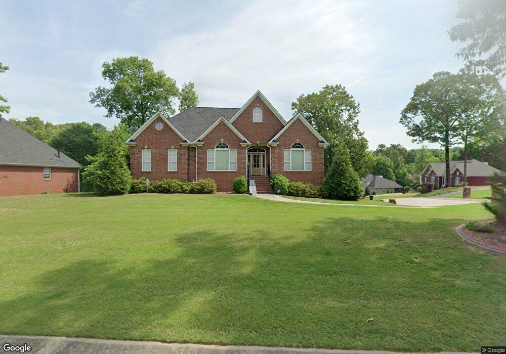
173 Cluster Springs Cir Gardendale, AL 35071
Estimated Value: $361,000 - $410,000
4
Beds
4
Baths
2,075
Sq Ft
$184/Sq Ft
Est. Value
About This Home
This home is located at 173 Cluster Springs Cir, Gardendale, AL 35071 and is currently estimated at $382,754, approximately $184 per square foot. 173 Cluster Springs Cir is a home located in Jefferson County with nearby schools including Gardendale Elementary School, Bragg Middle School, and Gardendale High School.
Ownership History
Date
Name
Owned For
Owner Type
Purchase Details
Closed on
Dec 19, 2017
Sold by
Shepherd Judy A
Bought by
Shepherd Mike A and Shepherd Judy A
Current Estimated Value
Purchase Details
Closed on
Jun 22, 2004
Sold by
Watson Michael B and Watson Teresa B
Bought by
Shepherd Mike A and Shepherd Judy A
Home Financials for this Owner
Home Financials are based on the most recent Mortgage that was taken out on this home.
Original Mortgage
$225,000
Interest Rate
6.25%
Mortgage Type
Credit Line Revolving
Purchase Details
Closed on
Aug 31, 1998
Sold by
Southwood Construction Inc
Bought by
Watson Michael B and Watson Teresa B
Home Financials for this Owner
Home Financials are based on the most recent Mortgage that was taken out on this home.
Original Mortgage
$167,100
Interest Rate
6.96%
Create a Home Valuation Report for This Property
The Home Valuation Report is an in-depth analysis detailing your home's value as well as a comparison with similar homes in the area
Home Values in the Area
Average Home Value in this Area
Purchase History
| Date | Buyer | Sale Price | Title Company |
|---|---|---|---|
| Shepherd Mike A | $10,000 | -- | |
| Shepherd Mike A | $225,000 | -- | |
| Watson Michael B | $185,725 | Alabama Title Co Inc |
Source: Public Records
Mortgage History
| Date | Status | Borrower | Loan Amount |
|---|---|---|---|
| Previous Owner | Shepherd Mike A | $225,000 | |
| Previous Owner | Watson Michael B | $167,100 |
Source: Public Records
Tax History Compared to Growth
Tax History
| Year | Tax Paid | Tax Assessment Tax Assessment Total Assessment is a certain percentage of the fair market value that is determined by local assessors to be the total taxable value of land and additions on the property. | Land | Improvement |
|---|---|---|---|---|
| 2024 | $1,850 | $34,220 | -- | -- |
| 2022 | $1,614 | $27,740 | $3,900 | $23,840 |
| 2021 | $1,350 | $23,340 | $3,900 | $19,440 |
| 2020 | $1,339 | $23,160 | $3,900 | $19,260 |
| 2019 | $1,234 | $21,420 | $0 | $0 |
| 2018 | $1,256 | $21,780 | $0 | $0 |
| 2017 | $1,315 | $22,760 | $0 | $0 |
| 2016 | $1,309 | $22,660 | $0 | $0 |
| 2015 | $1,234 | $21,420 | $0 | $0 |
| 2014 | $1,009 | $21,440 | $0 | $0 |
| 2013 | $1,009 | $21,440 | $0 | $0 |
Source: Public Records
Map
Nearby Homes
- 165 Cluster Springs Cir
- 118 Cluster Springs Cir
- 873 Fieldstown Cir
- 890 Fieldstown Cir
- 4515 Shady Grove Ln Unit 2
- 709 Odum Rd
- 4436 Shady Grove Rd Unit 16n
- 4848 Cornelius Dr
- 658 Odum Rd
- 4555 Eldorado Dr
- 4507 Shady Grove Rd
- 4723 Crestview Dr
- 4681 Northridge Dr
- 4674 Northridge Dr
- 716 Kerr Dr
- 1255 Mountain Ln
- 4362 Shivas Way Unit 238
- 4358 Shivas Way Unit 239
- 4354 Shivas Way Unit 240
- 4350 Shivas Way Unit 241
- 807 Cluster Springs Rd
- 169 Cluster Springs Cir
- 814 Cluster Springs Rd
- 803 Cluster Springs Rd
- 170 Cluster Springs Cir
- 799 Cluster Springs Rd
- 825 Cluster Springs Rd
- 822 Cluster Springs Rd
- 161 Cluster Springs Cir
- 166 Cluster Springs Cir
- 826 Cluster Springs Rd
- 829 Cluster Springs Rd
- 795 Cluster Springs Rd
- 162 Cluster Springs Cir
- 810 Cluster Springs Rd
- 808 Cluster Springs Rd Unit 2
- 806 Cluster Springs Rd
- 157 Cluster Springs Cir
- 830 Cluster Springs Rd
- 802 Cluster Springs Rd