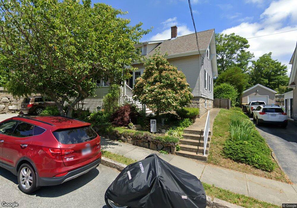
173 Colfax St Fall River, MA 02720
Bank Street NeighborhoodEstimated Value: $437,000 - $538,000
3
Beds
1
Bath
1,747
Sq Ft
$272/Sq Ft
Est. Value
About This Home
This home is located at 173 Colfax St, Fall River, MA 02720 and is currently estimated at $475,235, approximately $272 per square foot. 173 Colfax St is a home located in Bristol County with nearby schools including Mary Fonseca Elementary School, Morton Middle School, and B M C Durfee High School.
Ownership History
Date
Name
Owned For
Owner Type
Purchase Details
Closed on
Oct 31, 1991
Sold by
Harrington Lillian G
Bought by
Talbot Thomas J and Maria M Talbot
Current Estimated Value
Create a Home Valuation Report for This Property
The Home Valuation Report is an in-depth analysis detailing your home's value as well as a comparison with similar homes in the area
Home Values in the Area
Average Home Value in this Area
Purchase History
| Date | Buyer | Sale Price | Title Company |
|---|---|---|---|
| Talbot Thomas J | $85,000 | -- |
Source: Public Records
Mortgage History
| Date | Status | Borrower | Loan Amount |
|---|---|---|---|
| Open | Talbot Thomas J | $115,000 | |
| Closed | Talbot Thomas J | $88,100 | |
| Closed | Talbot Thomas J | $10,000 | |
| Closed | Talbot Thomas J | $83,500 |
Source: Public Records
Tax History
| Year | Tax Paid | Tax Assessment Tax Assessment Total Assessment is a certain percentage of the fair market value that is determined by local assessors to be the total taxable value of land and additions on the property. | Land | Improvement |
|---|---|---|---|---|
| 2025 | $4,561 | $398,300 | $116,300 | $282,000 |
| 2024 | $4,328 | $376,700 | $114,100 | $262,600 |
| 2023 | $4,351 | $354,600 | $102,800 | $251,800 |
| 2022 | $3,895 | $308,600 | $96,900 | $211,700 |
| 2021 | $3,594 | $259,900 | $92,600 | $167,300 |
| 2020 | $3,361 | $232,600 | $88,400 | $144,200 |
| 2019 | $3,383 | $232,000 | $92,400 | $139,600 |
| 2018 | $3,278 | $224,200 | $93,100 | $131,100 |
| 2017 | $3,108 | $222,000 | $93,100 | $128,900 |
| 2016 | $2,980 | $218,600 | $95,900 | $122,700 |
| 2015 | $2,865 | $219,000 | $95,900 | $123,100 |
| 2014 | $2,755 | $219,000 | $95,900 | $123,100 |
Source: Public Records
Map
Nearby Homes
- 45-47 Shawmut St
- 545 Robeson St
- 884 Cherry St
- 273 Tremont St
- 218 Plain St
- 217 Plain St
- 992 Pine St
- 243 Robeson St Unit 6
- 243 Robeson St Unit 3
- 65 Bigelow St
- 108 Garden St
- 631 Walnut St
- 610 Walnut St
- 499 Hanover St
- 677 Oak Grove Ave
- 528 Cherry St Unit 3
- 869 Bedford St
- 243 Oak Grove Ave
- 503 Highland Ave
- 742 New Boston Rd
- 161 Colfax St
- 149 Colfax St
- 164 Colfax St
- 180 Colfax St
- 1006 Maple St
- 137 Colfax St
- 35 Falmouth St
- 23 Falmouth St
- 990 Maple St
- 127 Colfax St
- 51 Falmouth St Unit C
- 51 Falmouth St Unit B
- 51 Falmouth St Unit A
- 1005 Maple St
- 117 Colfax St
- 995 Maple St
- 972 Maple St
- 107 Colfax St
- 35 Stetson St
- 23 Stetson St
Your Personal Tour Guide
Ask me questions while you tour the home.