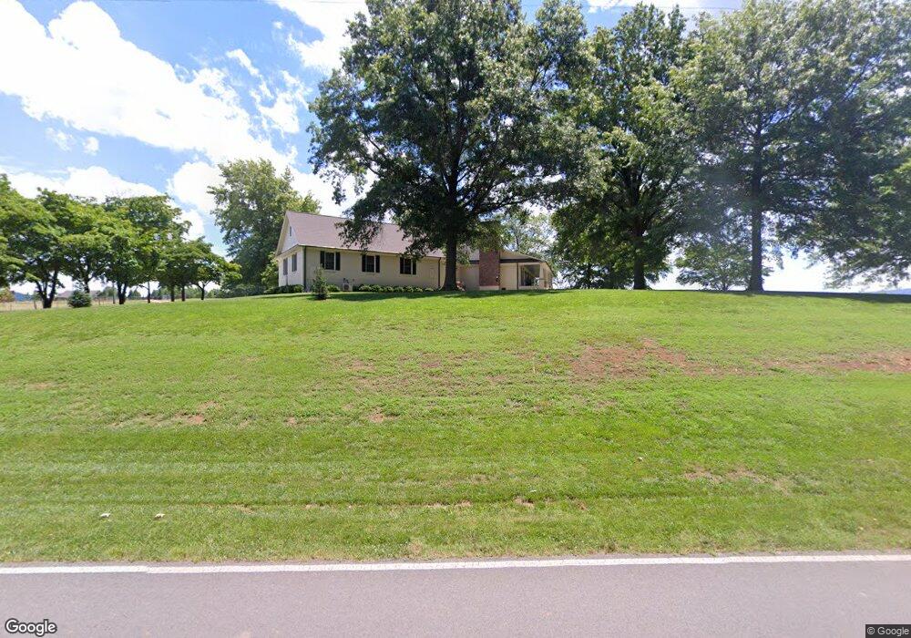
173 Davis Rd New Market, AL 35761
Estimated Value: $304,000 - $429,000
--
Bed
--
Bath
1,950
Sq Ft
$183/Sq Ft
Est. Value
About This Home
This home is located at 173 Davis Rd, New Market, AL 35761 and is currently estimated at $357,453, approximately $183 per square foot. 173 Davis Rd is a home with nearby schools including New Market School, Buckhorn Middle School, and Buckhorn High School.
Ownership History
Date
Name
Owned For
Owner Type
Purchase Details
Closed on
Nov 27, 2019
Sold by
Jones Sherry Rebecca Campbell and Worcester Lori Jones
Bought by
Jones Sherry Rebecca Campbell and Worcester Lori Jones
Current Estimated Value
Home Financials for this Owner
Home Financials are based on the most recent Mortgage that was taken out on this home.
Original Mortgage
$180,000
Outstanding Balance
$159,006
Interest Rate
3.7%
Mortgage Type
Future Advance Clause Open End Mortgage
Estimated Equity
$198,447
Purchase Details
Closed on
Apr 6, 2009
Sold by
Jones Rebecca Sherry Campbell
Bought by
Jones Rebecca Sherry Campbell and Jones Wesley Michael
Create a Home Valuation Report for This Property
The Home Valuation Report is an in-depth analysis detailing your home's value as well as a comparison with similar homes in the area
Home Values in the Area
Average Home Value in this Area
Purchase History
| Date | Buyer | Sale Price | Title Company |
|---|---|---|---|
| Jones Sherry Rebecca Campbell | -- | None Available | |
| Jones Rebecca Sherry Campbell | -- | -- |
Source: Public Records
Mortgage History
| Date | Status | Borrower | Loan Amount |
|---|---|---|---|
| Open | Jones Sherry Rebecca Campbell | $180,000 |
Source: Public Records
Tax History Compared to Growth
Tax History
| Year | Tax Paid | Tax Assessment Tax Assessment Total Assessment is a certain percentage of the fair market value that is determined by local assessors to be the total taxable value of land and additions on the property. | Land | Improvement |
|---|---|---|---|---|
| 2024 | $1,315 | $37,700 | $4,420 | $33,280 |
| 2023 | $1,315 | $37,700 | $4,420 | $33,280 |
| 2022 | $1,154 | $66,280 | $5,040 | $61,240 |
| 2021 | $934 | $54,220 | $5,040 | $49,180 |
| 2020 | $546 | $16,470 | $2,400 | $14,070 |
| 2019 | $527 | $15,940 | $2,400 | $13,540 |
| 2018 | $485 | $14,780 | $0 | $0 |
| 2017 | $485 | $14,780 | $0 | $0 |
| 2016 | $485 | $14,780 | $0 | $0 |
| 2015 | $485 | $14,780 | $0 | $0 |
| 2014 | $481 | $14,660 | $0 | $0 |
Source: Public Records
Map
Nearby Homes
- 119 Davis Rd
- 819 & 0 Hurricane Rd
- 504 Hurricane Rd
- 985 Hurricane Rd
- 1 AC Winchester Rd
- 0.5 ac Winchester Rd Unit .50 ac
- 1004 Hurricane Rd
- 125 Larkin St
- 274 Billy Smith Rd
- 45 acres Marvaline Dr
- 5148-B Winchester Rd
- 450 Hillsboro Cir
- 5148 Winchester Rd
- 0 New Market Rd Beth Rd Rd
- 102 Harpeth Dr
- 102 Shelburne Cir
- 1495 Hurricane Rd
- 967 Beth Rd
- 341 Moe Rd
- 239 Mint Springs Rd Unit A
- 241 Davis Rd
- 200 Davis Rd
- 224 Davis Rd
- 175 Davis Rd
- 177 Davis Rd
- 272 Davis Rd
- 293 Davis Rd
- 286 Davis Rd
- 316 Davis Rd
- 320 Old Mountain Fork Rd
- 299 Old Mountain Fork Rd
- 267 Old Mountain Fork Rd
- 263 Old Mountain Fork Rd
- 701 Hurricane Rd
- 505 Mountain Fork Rd
- 445 Davis Rd
- land Mountain Fork Rd
- 2 acres Mountain Fork Rd
- 4 Mountain Fork Rd
- 3 Mountain Fork Rd