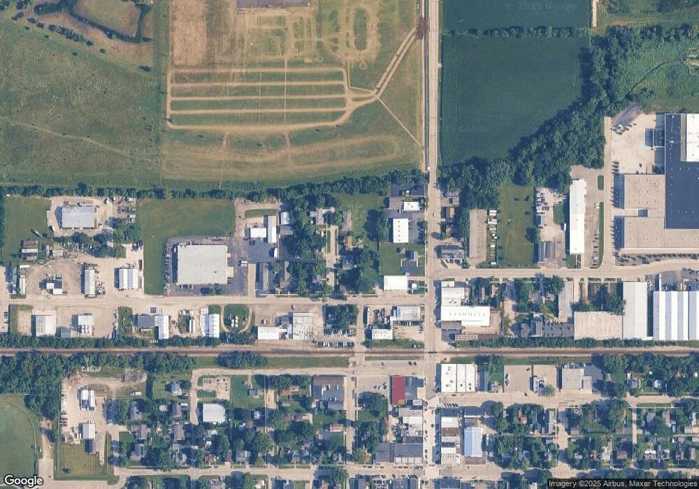
173 East St Hampshire, IL 60140
Estimated Value: $327,000 - $392,000
4
Beds
3
Baths
1,978
Sq Ft
$183/Sq Ft
Est. Value
About This Home
This home is located at 173 East St, Hampshire, IL 60140 and is currently estimated at $361,502, approximately $182 per square foot. 173 East St is a home located in Kane County with nearby schools including Hampshire Elementary School, Hampshire Middle School, and Hampshire High School.
Ownership History
Date
Name
Owned For
Owner Type
Purchase Details
Closed on
Dec 16, 2021
Sold by
Johnston Raoul and Johnston Christine
Bought by
Myers Matthew and Farrell Amanda
Current Estimated Value
Home Financials for this Owner
Home Financials are based on the most recent Mortgage that was taken out on this home.
Original Mortgage
$280,377
Interest Rate
2.75%
Mortgage Type
FHA
Purchase Details
Closed on
Apr 16, 2020
Sold by
Johnston Raoul and Johnston Christine
Bought by
Johnston Raoul and Johnston Christine
Purchase Details
Closed on
May 6, 2005
Sold by
Johnston Donna
Bought by
Johnston Raoul
Home Financials for this Owner
Home Financials are based on the most recent Mortgage that was taken out on this home.
Original Mortgage
$160,000
Interest Rate
5.12%
Mortgage Type
Purchase Money Mortgage
Create a Home Valuation Report for This Property
The Home Valuation Report is an in-depth analysis detailing your home's value as well as a comparison with similar homes in the area
Home Values in the Area
Average Home Value in this Area
Purchase History
| Date | Buyer | Sale Price | Title Company |
|---|---|---|---|
| Myers Matthew | $300,000 | Chicago Title | |
| Myers Matthew | -- | Chicago Title | |
| Johnston Raoul | -- | Attorney | |
| Johnston Raoul | -- | First American Title |
Source: Public Records
Mortgage History
| Date | Status | Borrower | Loan Amount |
|---|---|---|---|
| Previous Owner | Myers Matthew | $280,377 | |
| Previous Owner | Johnston Raoul | $160,000 |
Source: Public Records
Tax History Compared to Growth
Tax History
| Year | Tax Paid | Tax Assessment Tax Assessment Total Assessment is a certain percentage of the fair market value that is determined by local assessors to be the total taxable value of land and additions on the property. | Land | Improvement |
|---|---|---|---|---|
| 2024 | $5,850 | $87,922 | $24,047 | $63,875 |
| 2023 | $5,559 | $79,088 | $21,631 | $57,457 |
| 2022 | $5,347 | $72,685 | $19,880 | $52,805 |
| 2021 | $4,664 | $68,564 | $18,753 | $49,811 |
| 2020 | $4,571 | $66,690 | $18,240 | $48,450 |
| 2019 | $4,906 | $64,510 | $17,644 | $46,866 |
| 2018 | $4,785 | $60,950 | $16,670 | $44,280 |
| 2017 | $4,637 | $58,538 | $16,010 | $42,528 |
| 2016 | $4,542 | $55,027 | $15,050 | $39,977 |
| 2015 | $4,247 | $51,145 | $13,988 | $37,157 |
| 2014 | $4,247 | $49,459 | $13,527 | $35,932 |
| 2013 | $4,247 | $52,622 | $14,392 | $38,230 |
Source: Public Records
Map
Nearby Homes
- 125 Mill Ave
- 862 Briar Glen Ct
- 820 Briar Glen Ct
- 804 Briar Glen Ct
- Lot 0 N State St
- 190 Grove Ave
- 421 Klick St
- 263 E Jackson Ave
- 286 Wild Prairie Pointe
- 284 Wild Prairie Pointe
- 283 Wild Prairie Pointe
- 282 Wild Prairie Pointe
- 704 S State St
- 531 W Meadowdale Cir
- 895 S State St
- 666 Savanna Dr
- 602 Woodside Terrace
- 714 Wild Prairie Point
- Lot 154 W Meadowdale Cir
- Lot 130 W Meadowdale Cir
- 125 East St
- 191 East St
- 130 Mill Ave
- 106 Mill Ave
- 270 N State St Unit A
- 270 N State St Unit D
- 270 N State St Unit AB
- 270 N State St Unit C
- 270 N State St
- 270 N State St Unit 270
- 258 N State St
- 176 East St
- 128 East St
- 194 East St
- 138 Mill Ave
- 202 N State St
- 148 Mill Ave
- 278 N State St
- 129 Mill Ave
- 170 Mill Ave
