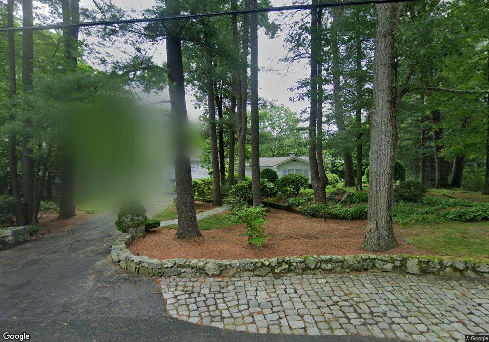
173 Mayfair Dr Westwood, MA 02090
Estimated Value: $1,001,808 - $1,141,000
4
Beds
3
Baths
1,953
Sq Ft
$552/Sq Ft
Est. Value
About This Home
This home is located at 173 Mayfair Dr, Westwood, MA 02090 and is currently estimated at $1,077,952, approximately $551 per square foot. 173 Mayfair Dr is a home located in Norfolk County with nearby schools including Westwood High School, St Catherine Of Siena School, and Xaverian Brothers High School.
Create a Home Valuation Report for This Property
The Home Valuation Report is an in-depth analysis detailing your home's value as well as a comparison with similar homes in the area
Home Values in the Area
Average Home Value in this Area
Tax History Compared to Growth
Tax History
| Year | Tax Paid | Tax Assessment Tax Assessment Total Assessment is a certain percentage of the fair market value that is determined by local assessors to be the total taxable value of land and additions on the property. | Land | Improvement |
|---|---|---|---|---|
| 2025 | $12,265 | $958,200 | $448,200 | $510,000 |
| 2024 | $11,601 | $905,600 | $426,800 | $478,800 |
| 2023 | $10,473 | $732,400 | $355,800 | $376,600 |
| 2022 | $9,663 | $651,600 | $314,550 | $337,050 |
| 2021 | $9,872 | $667,900 | $299,600 | $368,300 |
| 2020 | $9,864 | $679,800 | $299,600 | $380,200 |
| 2019 | $9,369 | $639,500 | $285,150 | $354,350 |
| 2018 | $8,758 | $580,400 | $285,150 | $295,250 |
| 2017 | $8,453 | $580,150 | $285,150 | $295,000 |
| 2016 | $8,339 | $568,800 | $285,150 | $283,650 |
| 2015 | $8,494 | $557,350 | $285,150 | $272,200 |
Source: Public Records
Map
Nearby Homes
- 207 Hartford St
- 197 Hartford St
- 60 Warwick Dr
- 4 Shoestring Ln
- 48 Lakeshore Dr
- 36 Kingswood Rd
- 49 Fisher St
- 39 Bayley St
- 140 Burgess Ave
- 95 Arcadia Rd
- 132 Thatcher St
- 151 Arcadia Rd
- 14 Ruel Dr
- 90 Blueberry Ln
- 11 Stonegate Dr
- 618 Nahatan St
- 9 Stonegate Dr
- 17 Royal Ct
- 29 Hartford St
- 401 Sandy Valley Rd