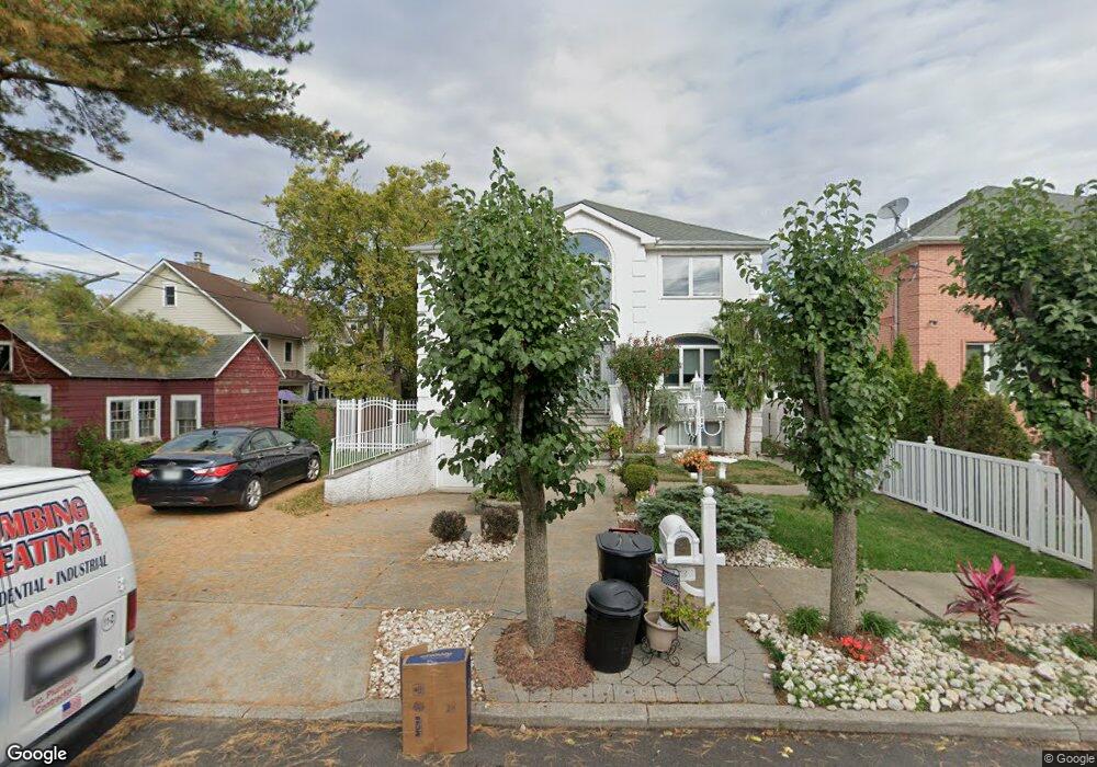
173 Nancy Ln Staten Island, NY 10307
Tottenville NeighborhoodEstimated Value: $1,129,000 - $1,460,000
5
Beds
4
Baths
3,400
Sq Ft
$383/Sq Ft
Est. Value
About This Home
This home is located at 173 Nancy Ln, Staten Island, NY 10307 and is currently estimated at $1,303,784, approximately $383 per square foot. 173 Nancy Ln is a home located in Richmond County with nearby schools including P.S. 6 Cpl Allan F Kivlehan School, Is 34 Tottenville, and Tottenville High School.
Ownership History
Date
Name
Owned For
Owner Type
Purchase Details
Closed on
Feb 6, 2004
Sold by
Nancy Lane Inc
Bought by
Beck Thomas A and Orr Colette
Current Estimated Value
Purchase Details
Closed on
Jan 10, 2003
Sold by
Ohearn John
Bought by
Nancy Lane Inc
Home Financials for this Owner
Home Financials are based on the most recent Mortgage that was taken out on this home.
Original Mortgage
$460,000
Interest Rate
5.86%
Mortgage Type
Stand Alone Second
Create a Home Valuation Report for This Property
The Home Valuation Report is an in-depth analysis detailing your home's value as well as a comparison with similar homes in the area
Home Values in the Area
Average Home Value in this Area
Purchase History
| Date | Buyer | Sale Price | Title Company |
|---|---|---|---|
| Beck Thomas A | $700,000 | -- | |
| Nancy Lane Inc | $370,500 | -- |
Source: Public Records
Mortgage History
| Date | Status | Borrower | Loan Amount |
|---|---|---|---|
| Previous Owner | Nancy Lane Inc | $460,000 |
Source: Public Records
Tax History Compared to Growth
Tax History
| Year | Tax Paid | Tax Assessment Tax Assessment Total Assessment is a certain percentage of the fair market value that is determined by local assessors to be the total taxable value of land and additions on the property. | Land | Improvement |
|---|---|---|---|---|
| 2025 | $12,333 | $81,480 | $10,113 | $71,367 |
| 2024 | $12,333 | $72,420 | $10,734 | $61,686 |
| 2023 | $11,764 | $57,926 | $9,977 | $47,949 |
| 2022 | $10,909 | $68,220 | $12,660 | $55,560 |
| 2021 | $11,501 | $64,800 | $12,660 | $52,140 |
| 2020 | $11,481 | $61,860 | $12,660 | $49,200 |
| 2019 | $10,704 | $53,760 | $12,660 | $41,100 |
| 2018 | $9,840 | $48,272 | $12,227 | $36,045 |
| 2017 | $9,283 | $45,540 | $12,660 | $32,880 |
| 2016 | $9,543 | $47,736 | $11,524 | $36,212 |
| 2015 | $8,577 | $47,376 | $10,119 | $37,257 |
| 2014 | $8,577 | $44,695 | $10,111 | $34,584 |
Source: Public Records
Map
Nearby Homes
- 169 Nancy Ln
- 67 Sprague Ave
- 63 Sprague Ave
- 24 Sanford St
- 22 Sanford St
- 165 Nancy Ln
- 20 Sanford St
- 53 Sprague Ave
- 53 Sprague Ave Unit Ph
- 18 Sanford St Unit 20
- 18-20 Sanford St
- 170 Nancy Ln
- 163 Nancy Ln
- 16 Sanford St
- 130 Nancy Ln
- 74 Sprague Ave
- 41 Sprague Ave
- 56 Sprague Ave
- 89 Sprague Ave
- 366 Brehaut Ave