173 Newport Rd Ardmore, OK 73401
Estimated Value: $223,000 - $312,000
4
Beds
2
Baths
2,287
Sq Ft
$118/Sq Ft
Est. Value
About This Home
This home is located at 173 Newport Rd, Ardmore, OK 73401 and is currently estimated at $270,443, approximately $118 per square foot. 173 Newport Rd is a home with nearby schools including Greenville Public School.
Create a Home Valuation Report for This Property
The Home Valuation Report is an in-depth analysis detailing your home's value as well as a comparison with similar homes in the area
Home Values in the Area
Average Home Value in this Area
Tax History Compared to Growth
Tax History
| Year | Tax Paid | Tax Assessment Tax Assessment Total Assessment is a certain percentage of the fair market value that is determined by local assessors to be the total taxable value of land and additions on the property. | Land | Improvement |
|---|---|---|---|---|
| 2025 | $2,030 | $19,893 | $2,579 | $17,314 |
| 2024 | $2,030 | $19,184 | $2,503 | $16,681 |
| 2023 | $1,872 | $18,626 | $2,459 | $16,167 |
| 2022 | $1,389 | $18,084 | $2,400 | $15,684 |
| 2021 | $1,362 | $17,557 | $2,329 | $15,228 |
| 2020 | $1,301 | $16,698 | $2,213 | $14,485 |
| 2019 | $1,252 | $16,211 | $2,143 | $14,068 |
| 2018 | $1,226 | $15,739 | $1,964 | $13,775 |
| 2017 | $1,185 | $15,282 | $1,865 | $13,417 |
| 2016 | $1,244 | $14,836 | $1,974 | $12,862 |
| 2015 | $1,186 | $14,129 | $1,856 | $12,273 |
| 2014 | $1,118 | $13,458 | $1,849 | $11,609 |
Source: Public Records
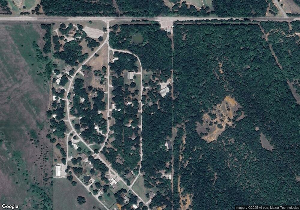
Map
Nearby Homes
- 0 State Highway 77
- 1018 Rocky Acres Rd
- 002 Cisco Rd
- 820 Cisco
- 3 Scott Rd
- 4 Scott Rd
- 0 Fm171 Unit 11611651
- 37 Peddy St
- 11868 Campbell Rd
- 11872 Campbell Rd
- 11870 Campbell Rd
- 291 Golden Dr
- 780 Rickets Ln
- 4319 Greenville Rd
- 1777 Bussel Rd & Hedges Rd
- 4255 Greenville Rd
- 4323 Greenville Rd
- 0 Scott Unit 2539974
- 0 Scott Unit 2505734
- 3502 Carter St SE
- 269 Newport Rd
- 170 Newport Rd
- 141 Newport Rd
- 212 Newport Rd
- 240 Newport Rd
- 116 Newport Rd
- 157 Yorktown Dr
- 105 Yorktown Dr
- 181 Yorktown Dr
- 252 Newport Rd
- 231 Yorktown Dr
- 73 Yorktown Dr
- 64 Newport Rd
- 116 Yorktown Dr
- 230 Yorktown Dr
- 34 Newport Rd
- 82 Yorktown Dr
- 317 Hampton Rd
- 305 Newport Rd
- 261 Hampton Rd