173 Parris Field Rd Bryson City, NC 28713
Estimated Value: $224,000 - $437,000
2
Beds
1
Bath
1,531
Sq Ft
$224/Sq Ft
Est. Value
About This Home
This home is located at 173 Parris Field Rd, Bryson City, NC 28713 and is currently estimated at $342,550, approximately $223 per square foot. 173 Parris Field Rd is a home located in Swain County with nearby schools including Swain County Middle School, Swain County West Elementary School, and Swain County High School.
Ownership History
Date
Name
Owned For
Owner Type
Purchase Details
Closed on
Sep 6, 2019
Sold by
Gingell Robert Ian
Bought by
Gingell Robert Ian and 2019 Robert Ian Gingell Revocabkle Trust
Current Estimated Value
Purchase Details
Closed on
May 3, 2007
Sold by
Pesaro Licio S and Pesaro Juanita
Bought by
Gingell Robert I
Purchase Details
Closed on
Dec 17, 2004
Sold by
Cane Creek Development Corp
Bought by
Gingell Robert I
Create a Home Valuation Report for This Property
The Home Valuation Report is an in-depth analysis detailing your home's value as well as a comparison with similar homes in the area
Home Values in the Area
Average Home Value in this Area
Purchase History
| Date | Buyer | Sale Price | Title Company |
|---|---|---|---|
| Gingell Robert Ian | -- | None Available | |
| Gingell Robert I | $50,000 | -- | |
| Gingell Robert I | $35,000 | -- |
Source: Public Records
Tax History Compared to Growth
Tax History
| Year | Tax Paid | Tax Assessment Tax Assessment Total Assessment is a certain percentage of the fair market value that is determined by local assessors to be the total taxable value of land and additions on the property. | Land | Improvement |
|---|---|---|---|---|
| 2025 | $906 | $192,900 | $30,000 | $162,900 |
| 2024 | $906 | $192,900 | $30,000 | $162,900 |
| 2023 | $809 | $192,900 | $30,000 | $162,900 |
| 2022 | $809 | $192,900 | $30,000 | $162,900 |
| 2021 | $809 | $192,900 | $0 | $0 |
| 2020 | $737 | $183,890 | $44,260 | $139,630 |
| 2019 | $737 | $183,860 | $44,230 | $139,630 |
| 2018 | $737 | $183,860 | $44,230 | $139,630 |
| 2017 | $737 | $183,860 | $44,230 | $139,630 |
| 2016 | $737 | $183,860 | $44,230 | $139,630 |
| 2015 | -- | $183,860 | $44,230 | $139,630 |
| 2014 | -- | $183,860 | $44,230 | $139,630 |
Source: Public Records
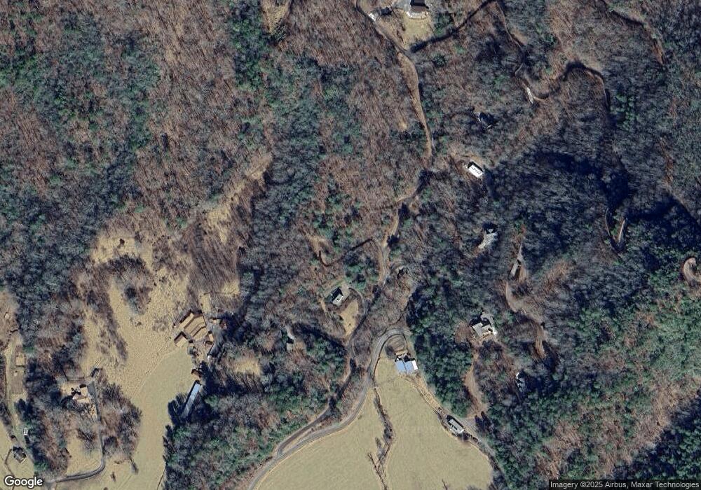
Map
Nearby Homes
- 00 19 Marr Heights
- 175 Williams Way
- Lot 11 Hickory Rock Rd
- 0 Hickory Rock Rd Unit 11 CAR4307524
- Lot 30 Deer Ridge Rd
- 639 Deer Ridge Rd
- Lot 7A&B Indian Rock Ln
- 0 Indian Rock Ln Unit 7A&B CAR4221544
- 310 Moonlight Dr
- 1150 Marr Creek Rd
- Lot 30 Hickory Cove Rd
- Lot 36 Hickory Cove Rd
- 0 Hickory Cove Preserve
- 000 Needmore Rd
- 350 Hickory Springs Trail
- 410 Moonlight Trail
- 790 Moonlight Trail
- 80 Breezewood Dr
- 17 Moonlight Trail
- 44 Moonlight Trail
- 125 Parris Field
- 125 Parris Field Rd
- 527 Brush Creek Rd
- 527 Brush Creek Rd Unit 13
- Lot #7 Parris Field Rd Unit 7
- 5367 Highway 28 S
- 111 Sterling Ln
- 250 Parris Field Rd
- 648 Brush Creek Rd
- 22 Sterling Ln
- 22 Sterling Ln Unit 22
- Lot 50 Parris Field Rd
- 19 19 Marr Heights
- 450 Parris Field Rd
- 5175 Highway 28 S
- 30 Parris Field Rd
- 30 Parris Field Rd Unit 30
- 820 Brush Creek Rd
- 5171 Highway 28 S
- 824 Brush Creek Rd