Estimated Value: $211,000 - $234,000
2
Beds
1
Bath
1,476
Sq Ft
$153/Sq Ft
Est. Value
About This Home
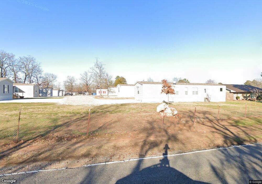
This home is located at 173 Rr 1, Vian, OK 74962 and is currently estimated at $225,470, approximately $152 per square foot. 173 Rr 1 is a home located in Sequoyah County with nearby schools including Vian Elementary School, Vian Middle School, and Vian High School.
Ownership History
Date
Name
Owned For
Owner Type
Purchase Details
Closed on
Nov 25, 2019
Sold by
Buttery Blake A and Buttery Claudetta
Bought by
Stasyszen Mike
Current Estimated Value
Home Financials for this Owner
Home Financials are based on the most recent Mortgage that was taken out on this home.
Original Mortgage
$143,115
Outstanding Balance
$125,741
Interest Rate
3.75%
Mortgage Type
FHA
Estimated Equity
$99,729
Create a Home Valuation Report for This Property
The Home Valuation Report is an in-depth analysis detailing your home's value as well as a comparison with similar homes in the area
Home Values in the Area
Average Home Value in this Area
Purchase History
| Date | Buyer | Sale Price | Title Company |
|---|---|---|---|
| Stasyszen Mike | $145,756 | Valley Land Title Company |
Source: Public Records
Mortgage History
| Date | Status | Borrower | Loan Amount |
|---|---|---|---|
| Open | Stasyszen Mike | $143,115 |
Source: Public Records
Tax History Compared to Growth
Tax History
| Year | Tax Paid | Tax Assessment Tax Assessment Total Assessment is a certain percentage of the fair market value that is determined by local assessors to be the total taxable value of land and additions on the property. | Land | Improvement |
|---|---|---|---|---|
| 2025 | $1,659 | $17,053 | $4,425 | $12,628 |
| 2024 | $1,659 | $16,241 | $2,343 | $13,898 |
| 2023 | $1,466 | $16,022 | $3,707 | $12,315 |
| 2022 | $1,457 | $16,022 | $3,707 | $12,315 |
| 2021 | $1,442 | $16,022 | $3,707 | $12,315 |
| 2020 | $1,496 | $16,022 | $3,707 | $12,315 |
| 2019 | $345 | $4,450 | $2,178 | $2,272 |
| 2018 | $317 | $4,521 | $2,178 | $2,343 |
| 2017 | $320 | $4,521 | $2,178 | $2,343 |
| 2016 | $327 | $4,582 | $2,178 | $2,404 |
| 2015 | $336 | $4,653 | $2,178 | $2,475 |
| 2014 | $345 | $4,714 | $2,178 | $2,536 |
Source: Public Records
Map
Nearby Homes
- 190 S 4523 Rd
- 96854 S 4527 Rd
- 452058 E 965 Loop
- 01 E 965 Loop
- 98399 S 4503 Rd
- 98336 S 4503 Rd
- Lot 24 and 25 Block 3 Sequoyah Addition 1
- Lot 24 and 25 Unit Block 3 Sequoyah Add
- 8 Darcy Dr
- 4 Darcy Dr
- 3 E 984 Rd
- 5 E 980 Rd
- 98686 S 4540 Rd
- 0 S 4550 Rd Unit 2550176
- 2 S 4531 Rd
- 27 S 4532 Dr
- 13 S 4532 Dr
- 6 S 4532 Dr
- 9 S 4532 Dr
- 11 S 4532 Dr
- 451672 E 980 Rd
- 98127 Highway 82
- 98070 S 4523 Rd
- 166 Rr 1
- 167 Rr 1
- 97903 Highway 82
- 97903 State Highway 82
- 98025 S 4523 Rd
- 97769 Highway 82
- 98208 Highway 82
- 0 S 4523 Rd E Unit 2423746
- 98072 Highway 82
- 98072 Highway 82
- 98148 S 4523 Rd
- 98310 Highway 82
- 96280 S 4490 Rd
- 454206 E 1025 Rd
- 98002 S 4490 Rd
- 98088 S 4490 Rd