173 S Maple St Braidwood, IL 60408
Estimated Value: $269,000 - $286,000
Studio
--
Bath
--
Sq Ft
33,977
Sq Ft Lot
About This Home
This home is located at 173 S Maple St, Braidwood, IL 60408 and is currently estimated at $277,500. 173 S Maple St is a home located in Will County with nearby schools including Reed-Custer Intermediate School, Reed-Custer Middle School, and Reed-Custer High School.
Ownership History
Date
Name
Owned For
Owner Type
Purchase Details
Closed on
Jan 27, 2026
Sold by
Tatroe Charles and Tatroe Mary
Bought by
Charles & Mary Tatroe Family Joint Trust and Tatroe
Current Estimated Value
Purchase Details
Closed on
Mar 27, 2000
Sold by
Tatroe Charles and Tatroe Mary
Bought by
Tatroe Charles and Tatroe Mary
Create a Home Valuation Report for This Property
The Home Valuation Report is an in-depth analysis detailing your home's value as well as a comparison with similar homes in the area
Home Values in the Area
Average Home Value in this Area
Purchase History
| Date | Buyer | Sale Price | Title Company |
|---|---|---|---|
| Charles & Mary Tatroe Family Joint Trust | -- | None Listed On Document | |
| Tatroe Charles | -- | -- |
Source: Public Records
Tax History
| Year | Tax Paid | Tax Assessment Tax Assessment Total Assessment is a certain percentage of the fair market value that is determined by local assessors to be the total taxable value of land and additions on the property. | Land | Improvement |
|---|---|---|---|---|
| 2024 | $5,144 | $76,984 | $12,168 | $64,816 |
| 2023 | $5,144 | $68,951 | $10,898 | $58,053 |
| 2022 | $3,897 | $62,569 | $9,889 | $52,680 |
| 2021 | $3,767 | $59,721 | $9,439 | $50,282 |
| 2020 | $3,564 | $56,581 | $8,943 | $47,638 |
| 2019 | $3,355 | $53,429 | $8,445 | $44,984 |
| 2018 | $3,219 | $51,128 | $8,081 | $43,047 |
| 2017 | $3,156 | $50,126 | $7,923 | $42,203 |
| 2016 | $3,070 | $48,477 | $7,662 | $40,815 |
| 2015 | $2,956 | $47,225 | $7,464 | $39,761 |
| 2014 | $2,956 | $47,225 | $7,464 | $39,761 |
| 2013 | $2,956 | $50,508 | $7,983 | $42,525 |
Source: Public Records
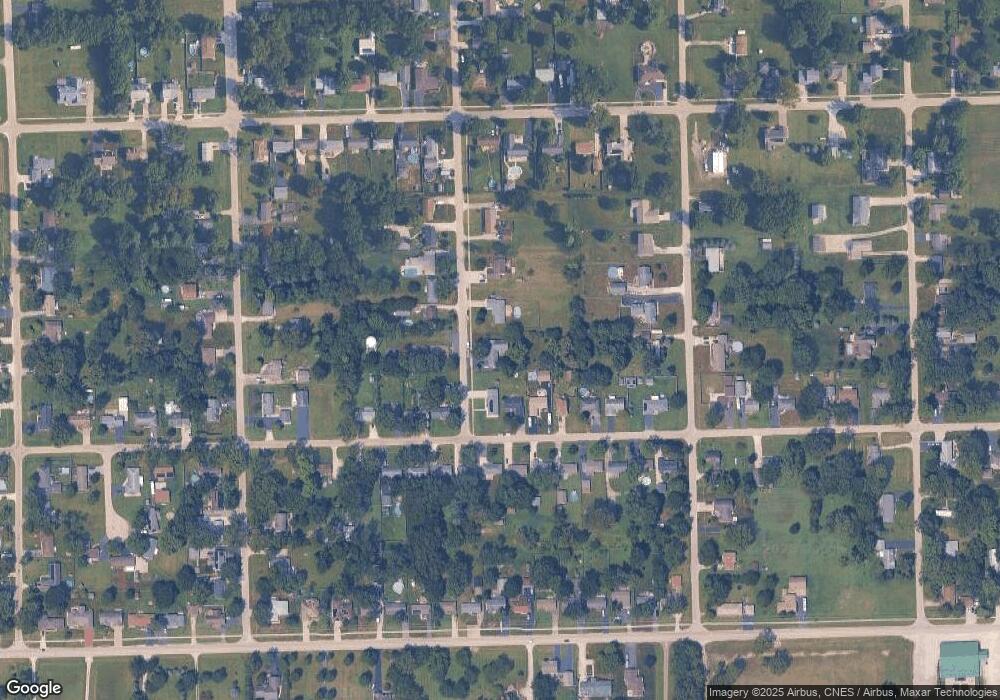
Map
Nearby Homes
- 116 S English St
- 104 S English St
- 179 N Maple St
- 135 N Cook St
- 1055 W Main St
- 1065 W Main St
- 443 W Main St
- 600 W 2nd St
- 26125 W Kennedy Rd
- 161 S Will Rd
- 903-905 N English St
- 222 S Lincoln St
- 430 N Division St
- 484 W 3rd St
- 0 S Will Rd
- 386 W 3rd St
- 495 N Division St
- 1034 Madison Ave
- 1018 Madison Ave
- 0000 N Division St
- 147 S Maple St
- 794 W Eureka St
- 790 W Eureka St
- 778 W Eureka St
- 812 W Eureka St
- 758 W Eureka St
- 143 S Maple St
- 132 S Maple St
- 824 W Eureka St
- 138 S Maple St
- 738 W Eureka St
- 126 S Maple St
- 836 W Eureka St
- 797 W Eureka St
- 785 W Eureka St
- 135 S Maple St
- 805 W Eureka St
- 775 W Eureka St
- 728 W Eureka St
- 120 S Maple St
Your Personal Tour Guide
Ask me questions while you tour the home.