173 S Wharf Rd Brooksville, ME 04617
Estimated Value: $751,000 - $1,428,000
2
Beds
1
Bath
800
Sq Ft
$1,269/Sq Ft
Est. Value
About This Home
This home is located at 173 S Wharf Rd, Brooksville, ME 04617 and is currently estimated at $1,015,253, approximately $1,269 per square foot. 173 S Wharf Rd is a home located in Hancock County with nearby schools including Brooksville Elementary School.
Ownership History
Date
Name
Owned For
Owner Type
Purchase Details
Closed on
Aug 16, 2019
Sold by
Gregor William T
Bought by
Gregor Richard and Gregor Carol M
Current Estimated Value
Home Financials for this Owner
Home Financials are based on the most recent Mortgage that was taken out on this home.
Original Mortgage
$142,714
Outstanding Balance
$124,991
Interest Rate
3.7%
Mortgage Type
New Conventional
Estimated Equity
$890,262
Create a Home Valuation Report for This Property
The Home Valuation Report is an in-depth analysis detailing your home's value as well as a comparison with similar homes in the area
Home Values in the Area
Average Home Value in this Area
Purchase History
| Date | Buyer | Sale Price | Title Company |
|---|---|---|---|
| Gregor Richard | -- | -- | |
| Gregor Richard L | -- | -- |
Source: Public Records
Mortgage History
| Date | Status | Borrower | Loan Amount |
|---|---|---|---|
| Open | Gregor Richard | $142,714 |
Source: Public Records
Tax History Compared to Growth
Tax History
| Year | Tax Paid | Tax Assessment Tax Assessment Total Assessment is a certain percentage of the fair market value that is determined by local assessors to be the total taxable value of land and additions on the property. | Land | Improvement |
|---|---|---|---|---|
| 2024 | $3,823 | $707,900 | $293,100 | $414,800 |
| 2023 | $3,543 | $545,000 | $225,500 | $319,500 |
| 2022 | $3,347 | $490,700 | $203,000 | $287,700 |
| 2021 | $3,288 | $490,700 | $203,000 | $287,700 |
| 2020 | $3,337 | $490,700 | $203,000 | $287,700 |
| 2019 | $2,291 | $400,500 | $131,900 | $268,600 |
| 2018 | $2,233 | $399,500 | $131,900 | $267,600 |
| 2017 | $2,233 | $399,500 | $131,900 | $267,600 |
| 2016 | $2,233 | $399,500 | $131,900 | $267,600 |
| 2015 | $2,126 | $380,400 | $131,900 | $248,500 |
| 2013 | $2,026 | $422,000 | $145,800 | $276,200 |
Source: Public Records
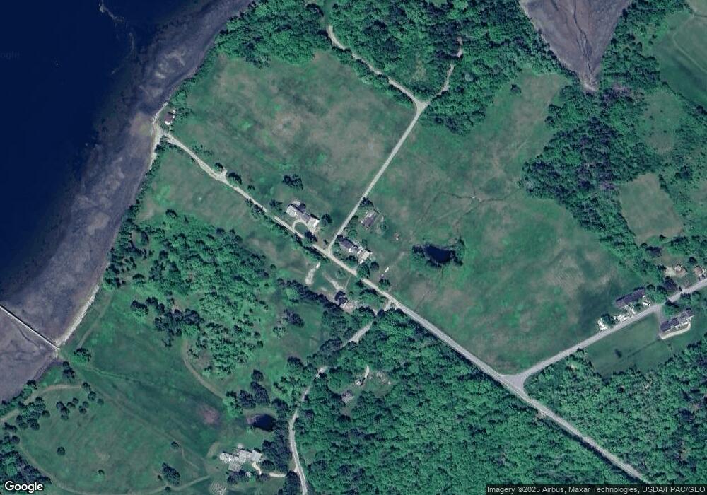
Map
Nearby Homes
- 118 Wescott Battery
- 37 Water St
- 10 Green St
- M17 L15 Battle Ave
- M17 L15 Perkins St
- M15 L23 Varnum Rd
- 79 Perkins St
- 581 the Shore Rd
- 26 Tidal Creek Rd
- 684 the Shore Rd
- 111 Franks Flat Rd
- 1026 Castine Rd
- 00 Dunbar
- Map4 Lot26 Graytown Rd
- 113 Wardwell Point Rd
- 1114 Castine Rd
- 21 Harborside Rd
- 565 Bagaduce Rd
- 269 Wardwell Point Rd
- 2 Camp Stream Point Ln
- 183 S Wharf Rd
- 0 Henry's Point Rd Unit 888427
- 0 Henry's Point Rd Unit 912956
- 0 Henry's Point Rd Unit 1238851
- Wassons Wharf On S Wharf Rd
- Wasson's Wharf On S Wharf Rd
- 33 Henry Point Rd
- 33 Henry Point Rd Unit 1
- 33 Henry Point Rd
- 10 Henry Point Rd
- 0 Cassatt Rd Unit 1262735
- 0 S Wharf Unit 1582963
- 0 S Wharf Unit 1262733
- 0 S Wharf Unit 1364285
- 00 S Wharf Rd
- 103 Wharf Rd
- 44 Cassatt Rd
- 98 Wharf Rd
- 95 Wharf Rd
- Lot 002 Henry's Point Rd