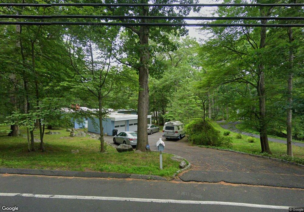
173 Sawmill Rd Stamford, CT 06903
North Stamford NeighborhoodEstimated Value: $954,000 - $1,292,000
3
Beds
3
Baths
2,690
Sq Ft
$392/Sq Ft
Est. Value
About This Home
This home is located at 173 Sawmill Rd, Stamford, CT 06903 and is currently estimated at $1,053,345, approximately $391 per square foot. 173 Sawmill Rd is a home located in Fairfield County with nearby schools including Roxbury School, Cloonan School, and Westhill High School.
Ownership History
Date
Name
Owned For
Owner Type
Purchase Details
Closed on
Apr 14, 2011
Sold by
Sahd Mae M and Sahd Stephen J
Bought by
Vasisht Anil K and Vasisht Mitra
Current Estimated Value
Home Financials for this Owner
Home Financials are based on the most recent Mortgage that was taken out on this home.
Original Mortgage
$417,000
Outstanding Balance
$288,900
Interest Rate
4.89%
Estimated Equity
$764,445
Purchase Details
Closed on
Feb 13, 2007
Sold by
Mcdonough Frances A
Bought by
Sahd Stephen J and Sahd Mae M
Home Financials for this Owner
Home Financials are based on the most recent Mortgage that was taken out on this home.
Original Mortgage
$528,700
Interest Rate
6%
Create a Home Valuation Report for This Property
The Home Valuation Report is an in-depth analysis detailing your home's value as well as a comparison with similar homes in the area
Home Values in the Area
Average Home Value in this Area
Purchase History
| Date | Buyer | Sale Price | Title Company |
|---|---|---|---|
| Vasisht Anil K | $670,000 | -- | |
| Sahd Stephen J | $352,500 | -- |
Source: Public Records
Mortgage History
| Date | Status | Borrower | Loan Amount |
|---|---|---|---|
| Open | Sahd Stephen J | $417,000 | |
| Previous Owner | Sahd Stephen J | $100,000 | |
| Previous Owner | Sahd Stephen J | $528,700 |
Source: Public Records
Tax History Compared to Growth
Tax History
| Year | Tax Paid | Tax Assessment Tax Assessment Total Assessment is a certain percentage of the fair market value that is determined by local assessors to be the total taxable value of land and additions on the property. | Land | Improvement |
|---|---|---|---|---|
| 2025 | $12,340 | $530,310 | $267,750 | $262,560 |
| 2024 | $12,070 | $530,310 | $267,750 | $262,560 |
| 2023 | $12,971 | $530,310 | $267,750 | $262,560 |
| 2022 | $11,358 | $431,360 | $202,840 | $228,520 |
| 2021 | $11,202 | $431,360 | $202,840 | $228,520 |
| 2020 | $10,926 | $431,360 | $202,840 | $228,520 |
| 2019 | $10,926 | $431,360 | $202,840 | $228,520 |
| 2018 | $10,547 | $431,360 | $202,840 | $228,520 |
| 2017 | $11,149 | $435,670 | $220,470 | $215,200 |
| 2016 | $10,813 | $435,670 | $220,470 | $215,200 |
| 2015 | $10,517 | $435,670 | $220,470 | $215,200 |
| 2014 | $10,155 | $435,670 | $220,470 | $215,200 |
Source: Public Records
Map
Nearby Homes
- 25 Mill Stone Cir
- 494 Sawmill Rd
- 401 Wildwood Rd
- 150 Wildwood Rd
- 30 Partridge Rd
- 65 Malibu Rd
- 40 Wildwood Rd
- 271 Hunting Ridge Rd
- 27 Wellington Dr
- 95 Foxwood Rd
- 295 Haviland Rd
- 107 Deepwood Rd
- 185 Haviland Rd
- 368 Den Rd
- 77 Fox Glen Dr
- 43 Mill Rd
- 151 June Rd
- 40 Howard Rd
- 164 Janes Ln
- 0 June Rd Unit LOT 1 24118127
- 175 Sawmill Rd
- 167 Sawmill Rd
- 191 Sawmill Rd
- 54 Shelter Rock Rd
- 159 Sawmill Rd
- 32 Shelter Rock Rd
- 30 Wind Mill Cir
- 30 Wind Mill Cir
- 186 Sawmill Rd
- 233 Sawmill Rd
- 215 Sawmill Rd
- 28 Shelter Rock Rd
- 20 Wind Mill Cir
- 154 Sawmill Rd
- 70 Shelter Rock Rd
- 70 Shelter Rock Rd
- 44 Shelter Rock Rd
- 26 Shelter Rock Rd
- 23 Wind Mill Cir
- 25 Wind Mill Cir