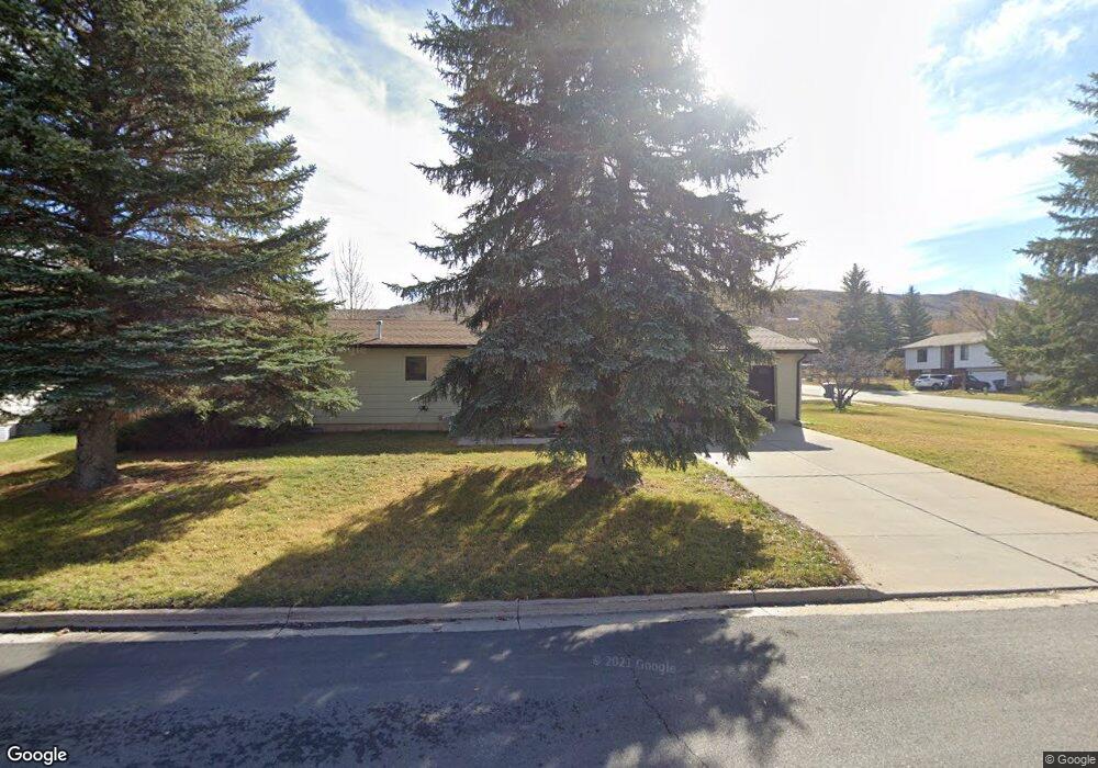
173 Simpson Ave Evanston, WY 82930
Estimated Value: $305,000 - $469,000
3
Beds
2
Baths
1,000
Sq Ft
$362/Sq Ft
Est. Value
About This Home
This home is located at 173 Simpson Ave, Evanston, WY 82930 and is currently estimated at $361,891, approximately $361 per square foot. 173 Simpson Ave is a home located in Uinta County with nearby schools including Evanston High School and Evanston Child Development Center.
Ownership History
Date
Name
Owned For
Owner Type
Purchase Details
Closed on
Feb 24, 2010
Sold by
George Chad A
Bought by
George Chad A and George Nichelle K
Current Estimated Value
Purchase Details
Closed on
Mar 28, 2006
Sold by
Meyer Hulda M
Bought by
George Chad A
Home Financials for this Owner
Home Financials are based on the most recent Mortgage that was taken out on this home.
Original Mortgage
$97,000
Interest Rate
6.24%
Mortgage Type
New Conventional
Create a Home Valuation Report for This Property
The Home Valuation Report is an in-depth analysis detailing your home's value as well as a comparison with similar homes in the area
Home Values in the Area
Average Home Value in this Area
Purchase History
| Date | Buyer | Sale Price | Title Company |
|---|---|---|---|
| George Chad A | -- | None Available | |
| George Chad A | -- | None Available |
Source: Public Records
Mortgage History
| Date | Status | Borrower | Loan Amount |
|---|---|---|---|
| Previous Owner | George Chad A | $97,000 |
Source: Public Records
Tax History Compared to Growth
Tax History
| Year | Tax Paid | Tax Assessment Tax Assessment Total Assessment is a certain percentage of the fair market value that is determined by local assessors to be the total taxable value of land and additions on the property. | Land | Improvement |
|---|---|---|---|---|
| 2025 | $1,716 | $19,464 | $5,686 | $13,778 |
| 2024 | $1,716 | $25,246 | $7,581 | $17,665 |
| 2023 | $1,662 | $24,566 | $7,581 | $16,985 |
| 2022 | $1,565 | $22,994 | $6,346 | $16,648 |
| 2021 | $1,284 | $18,834 | $6,223 | $12,611 |
| 2020 | $1,266 | $18,585 | $6,223 | $12,362 |
| 2019 | $1,252 | $18,412 | $6,223 | $12,189 |
| 2018 | $1,140 | $16,551 | $4,929 | $11,622 |
| 2017 | $1,084 | $15,949 | $4,486 | $11,463 |
| 2016 | $1,051 | $15,456 | $4,486 | $10,970 |
| 2015 | -- | $14,943 | $4,486 | $10,457 |
| 2014 | -- | $14,359 | $0 | $0 |
Source: Public Records
Map
Nearby Homes
- 427 Thayer Cir
- 479 Twin Ridge Ave
- 223 Barber Ave
- 221 Barber Ave
- 413 Crane Ave
- 316 Burns Ave
- 405, 411, & 419 Burns Ave
- 405 Burns Ave Unit 3,4,5
- 803 7th St
- 3925 Yellow Creek Rd
- 3893 Yellow Creek Rd
- 3861 Yellow Creek Rd
- 3827 Yellow Creek Rd
- 824 9th St
- 113 Tower Rd
- 116 Peak Rd
- 115 Peak Rd
- 46 City View Dr
- 633 9th St
- 104 Canyon Hollow Dr
- 430 Twin Ridge Ave
- 169 Simpson Ave
- 167 Simpson Ave
- 448 Twin Ridge Ave
- 427 Smith Ave
- 168 Simpson Ave
- 424 Twin Ridge Ave
- 425 Smith Ave
- 449 Twin Ridge Ave
- 166 Simpson Ave
- 425 Twin Ridge Ave
- 453 Smith Ave
- 173 Morgan Cir
- 173 Morgan Cir Unit Twin Ridge
- 173 Morgan Cir Unit Twin Ridge Ave
- 419 Smith Ave
- 167 Morgan Cir
- 163 Simpson Ave
- 428 Smith Ave
- 418 Twin Ridge Ave