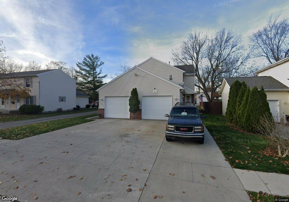
173 Taylor St Unit R1 Port Huron, MI 48060
Estimated Value: $147,000 - $743,899
2
Beds
1
Bath
960
Sq Ft
$340/Sq Ft
Est. Value
About This Home
This home is located at 173 Taylor St Unit R1, Port Huron, MI 48060 and is currently estimated at $326,475, approximately $340 per square foot. 173 Taylor St Unit R1 is a home located in St. Clair County with nearby schools including H.D. Crull Elementary School, Holland Woods Middle School, and Port Huron High School.
Ownership History
Date
Name
Owned For
Owner Type
Purchase Details
Closed on
Mar 25, 2019
Sold by
Halco Development Company Llc
Bought by
O Dell Property Group Llc
Current Estimated Value
Purchase Details
Closed on
Mar 7, 2019
Sold by
Funch and Lisa
Bought by
Halco Development Llc
Purchase Details
Closed on
May 4, 2015
Sold by
Halco Development Company
Bought by
Funch David and Funch Lisa
Create a Home Valuation Report for This Property
The Home Valuation Report is an in-depth analysis detailing your home's value as well as a comparison with similar homes in the area
Home Values in the Area
Average Home Value in this Area
Purchase History
| Date | Buyer | Sale Price | Title Company |
|---|---|---|---|
| O Dell Property Group Llc | $109,000 | None Listed On Document | |
| Halco Development Llc | -- | None Listed On Document | |
| Funch David | -- | None Available |
Source: Public Records
Tax History Compared to Growth
Tax History
| Year | Tax Paid | Tax Assessment Tax Assessment Total Assessment is a certain percentage of the fair market value that is determined by local assessors to be the total taxable value of land and additions on the property. | Land | Improvement |
|---|---|---|---|---|
| 2025 | $3,041 | $66,300 | $0 | $0 |
| 2024 | $2,710 | $61,100 | $0 | $0 |
| 2023 | $2,566 | $55,400 | $0 | $0 |
| 2022 | $2,617 | $51,000 | $0 | $0 |
| 2021 | $2,498 | $46,000 | $0 | $0 |
| 2020 | $2,508 | $39,400 | $39,400 | $0 |
| 2019 | $1,381 | $29,500 | $0 | $0 |
| 2018 | $1,350 | $29,500 | $0 | $0 |
| 2017 | $1,231 | $29,500 | $0 | $0 |
| 2016 | $1,058 | $29,500 | $0 | $0 |
| 2015 | $1,546 | $28,700 | $28,700 | $0 |
| 2014 | $1,546 | $28,700 | $28,700 | $0 |
| 2013 | -- | $29,100 | $0 | $0 |
Source: Public Records
Map
Nearby Homes
- 173 Taylor St Unit G4
- 173 Taylor St Unit G3
- 173 Taylor St Unit G2
- 173 Taylor St Unit G1
- 173 Taylor St
- 167 Taylor St Unit 8
- 167 Taylor St Unit 2
- 167 Taylor St
- 169 Taylor St # R-1
- 169 Taylor St # R-1 Unit 1
- 171 Taylor St Unit R2
- 169 Taylor St Unit 7
- 169 Taylor St Unit 1
- 169 Taylor St
- 169 Taylor St Unit R-1
- 177 Taylor St
- 157 Taylor St
- 185 Taylor St
- 149 Taylor St
- 277 Taylor St