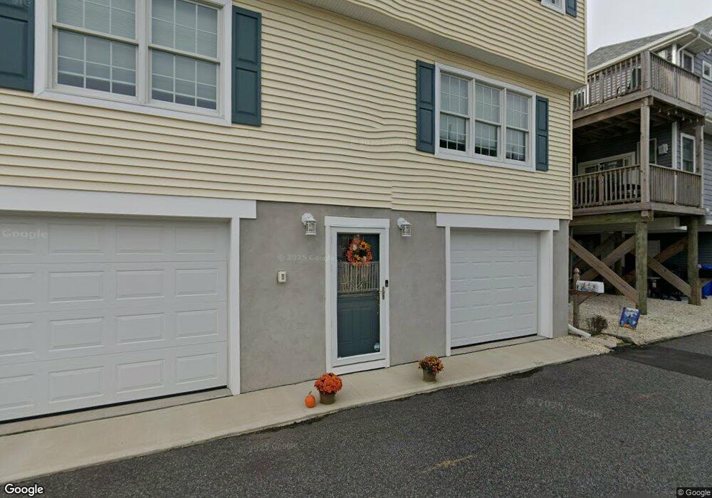
173 W Atlantic Way Lavallette, NJ 08735
Dover Beaches North NeighborhoodEstimated Value: $876,000 - $1,238,000
3
Beds
3
Baths
1,650
Sq Ft
$621/Sq Ft
Est. Value
About This Home
This home is located at 173 W Atlantic Way, Lavallette, NJ 08735 and is currently estimated at $1,024,047, approximately $620 per square foot. 173 W Atlantic Way is a home located in Ocean County.
Ownership History
Date
Name
Owned For
Owner Type
Purchase Details
Closed on
Nov 5, 2004
Sold by
Brusca Thomas D and Brusca Lois A
Bought by
Fea Anthony and Fea Eileen
Current Estimated Value
Purchase Details
Closed on
Jan 12, 2000
Sold by
James Mc Gurk
Bought by
Brusca Thomas and Brusca Lois
Home Financials for this Owner
Home Financials are based on the most recent Mortgage that was taken out on this home.
Original Mortgage
$35,000
Interest Rate
7.79%
Create a Home Valuation Report for This Property
The Home Valuation Report is an in-depth analysis detailing your home's value as well as a comparison with similar homes in the area
Home Values in the Area
Average Home Value in this Area
Purchase History
| Date | Buyer | Sale Price | Title Company |
|---|---|---|---|
| Fea Anthony | $510,000 | -- | |
| Brusca Thomas | $175,000 | -- |
Source: Public Records
Mortgage History
| Date | Status | Borrower | Loan Amount |
|---|---|---|---|
| Previous Owner | Brusca Thomas | $35,000 |
Source: Public Records
Tax History Compared to Growth
Tax History
| Year | Tax Paid | Tax Assessment Tax Assessment Total Assessment is a certain percentage of the fair market value that is determined by local assessors to be the total taxable value of land and additions on the property. | Land | Improvement |
|---|---|---|---|---|
| 2025 | $10,673 | $586,100 | $239,000 | $347,100 |
| 2024 | $10,145 | $586,100 | $239,000 | $347,100 |
| 2023 | $9,782 | $586,100 | $239,000 | $347,100 |
| 2022 | $9,782 | $586,100 | $239,000 | $347,100 |
| 2021 | $8,115 | $302,200 | $196,400 | $105,800 |
| 2020 | $7,537 | $302,200 | $196,400 | $105,800 |
| 2019 | $7,210 | $302,200 | $196,400 | $105,800 |
| 2018 | $7,114 | $302,200 | $196,400 | $105,800 |
| 2017 | $7,053 | $302,200 | $196,400 | $105,800 |
| 2016 | $6,869 | $302,200 | $196,400 | $105,800 |
| 2015 | $6,609 | $302,200 | $196,400 | $105,800 |
| 2014 | $6,714 | $322,500 | $196,400 | $126,100 |
Source: Public Records
Map
Nearby Homes
- 108 W Sandpiper Way
- 348 Venice Dr
- 109 W Sandpiper Way
- 257 Strickland Blvd
- 34 S Surf Rd
- 119 W Cormorant Way
- 26 N Surf Rd
- 3420 Seaview Rd
- 114 W Plover Way
- 3311 Seaview Rd
- 366 Fort Meyers Ct
- 202 Sailfish Way Unit 3
- 417 Delray Dr
- 316 Ormond Dr
- 3191 Route 35 N
- 215 Harbor Dr
- 21 E Dune Way
- 201 Mallard Ln
- 236 Gull Ln
- 254 Harbor Ct
- 166 W Bay Way
- 168 W Bay Way
- 169 W Atlantic Way
- 177 W Atlantic Way
- 164 W Bay Way
- 167 W Bay Way
- 170 W Bay Way
- 169 W Bay Way
- 165 W Bay Way
- 181 W Atlantic Way
- 165 W Atlantic Way
- 113 Strickland Blvd Unit 1
- 113 Strickland Blvd
- 113 Strickland Blvd
- 113 Strickland Blvd
- 113 Strickland Blvd
- 113 Strickland Blvd Unit 4E
- 113 Strickland Blvd Unit 1005
- 113 Strickland Blvd Unit 4
- 113 Strickland Blvd Unit 5