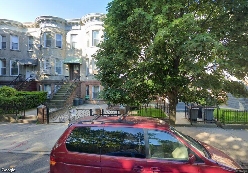
1730 45th St Brooklyn, NY 11204
Borough Park NeighborhoodEstimated Value: $1,950,000 - $2,216,489
--
Bed
--
Bath
3,000
Sq Ft
$682/Sq Ft
Est. Value
About This Home
This home is located at 1730 45th St, Brooklyn, NY 11204 and is currently estimated at $2,045,122, approximately $681 per square foot. 1730 45th St is a home located in Kings County with nearby schools including P.S./I.S. 192 Magnet School For Math And Science Inquiry, I.S. 223 The Montauk, and Franklin Delano Roosevelt High School.
Ownership History
Date
Name
Owned For
Owner Type
Purchase Details
Closed on
Oct 28, 2020
Sold by
Caputo Maryann F
Bought by
Freier Chava and Freier Solomon
Current Estimated Value
Home Financials for this Owner
Home Financials are based on the most recent Mortgage that was taken out on this home.
Original Mortgage
$980,000
Outstanding Balance
$873,626
Interest Rate
2.9%
Mortgage Type
Purchase Money Mortgage
Estimated Equity
$1,171,496
Create a Home Valuation Report for This Property
The Home Valuation Report is an in-depth analysis detailing your home's value as well as a comparison with similar homes in the area
Home Values in the Area
Average Home Value in this Area
Purchase History
| Date | Buyer | Sale Price | Title Company |
|---|---|---|---|
| Freier Chava | $1,450,000 | -- |
Source: Public Records
Mortgage History
| Date | Status | Borrower | Loan Amount |
|---|---|---|---|
| Open | Freier Chava | $980,000 |
Source: Public Records
Tax History Compared to Growth
Tax History
| Year | Tax Paid | Tax Assessment Tax Assessment Total Assessment is a certain percentage of the fair market value that is determined by local assessors to be the total taxable value of land and additions on the property. | Land | Improvement |
|---|---|---|---|---|
| 2025 | $8,376 | $114,600 | $25,200 | $89,400 |
| 2024 | $8,376 | $98,160 | $25,200 | $72,960 |
| 2023 | $8,033 | $120,420 | $25,200 | $95,220 |
| 2022 | $7,467 | $108,840 | $25,200 | $83,640 |
| 2021 | $7,872 | $84,480 | $25,200 | $59,280 |
| 2020 | $5,904 | $78,120 | $25,200 | $52,920 |
| 2019 | $6,977 | $78,120 | $25,200 | $52,920 |
| 2018 | $6,422 | $32,962 | $9,348 | $23,614 |
| 2017 | $6,054 | $31,170 | $10,094 | $21,076 |
| 2016 | $5,921 | $31,170 | $12,456 | $18,714 |
| 2015 | $3,327 | $30,680 | $14,680 | $16,000 |
| 2014 | $3,327 | $28,962 | $15,197 | $13,765 |
Source: Public Records
Map
Nearby Homes
- 819 McDonald Ave
- 1917 51st St
- 755 McDonald Ave
- 751 McDonald Ave
- 734 E 5th St Unit 4L
- 302 Ditmas Ave
- 304 Ditmas Ave
- 702 Ocean Pkwy Unit 1B
- 306 Ditmas Ave
- 770 Ocean Pkwy Unit 4K
- 770 Ocean Pkwy Unit 6C
- 770 Ocean Pkwy Unit 2D
- 770 Ocean Pkwy Unit 3M
- 311 Ditmas Ave
- 800 Ocean Pkwy Unit 5N
- 800 Ocean Pkwy Unit 6E
- 570 Ocean Pkwy Unit 4E
- 649 E 3rd St
- 820 Ocean Pkwy Unit 621
- 820 Ocean Pkwy Unit 417