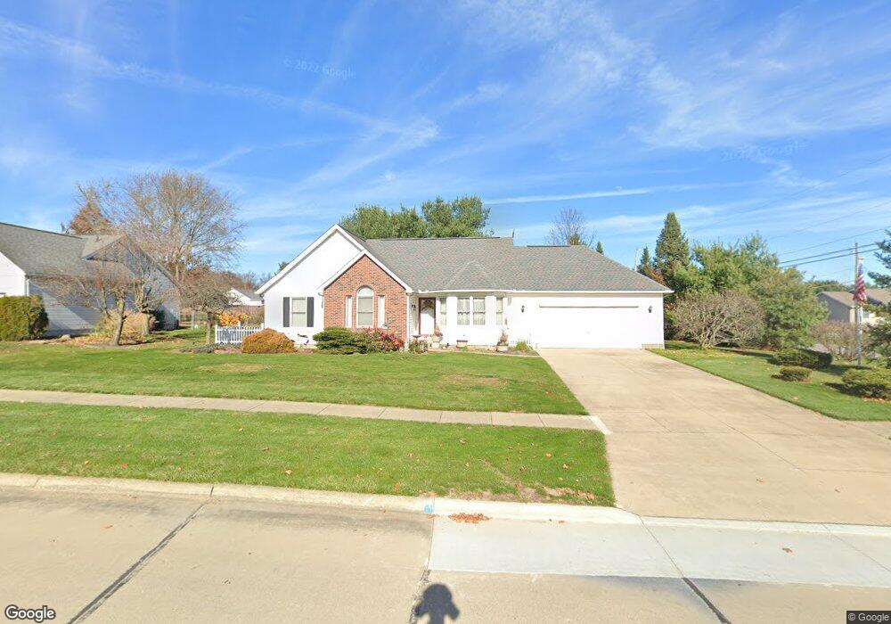
1730 Andrew Ln Wooster, OH 44691
Estimated Value: $245,000 - $317,000
3
Beds
2
Baths
1,458
Sq Ft
$196/Sq Ft
Est. Value
About This Home
This home is located at 1730 Andrew Ln, Wooster, OH 44691 and is currently estimated at $285,474, approximately $195 per square foot. 1730 Andrew Ln is a home located in Wayne County with nearby schools including Kean Elementary School, Parkview Elementary School, and Edgewood Middle School.
Ownership History
Date
Name
Owned For
Owner Type
Purchase Details
Closed on
Dec 28, 2007
Sold by
Snyder David C and Snyder Debra A
Bought by
Snyder David C and Snyder Debra A
Current Estimated Value
Purchase Details
Closed on
Apr 13, 1995
Sold by
Lowenstern Beth A
Bought by
Snyder David C and Snyder Debra A
Home Financials for this Owner
Home Financials are based on the most recent Mortgage that was taken out on this home.
Original Mortgage
$100,000
Interest Rate
8.55%
Mortgage Type
New Conventional
Create a Home Valuation Report for This Property
The Home Valuation Report is an in-depth analysis detailing your home's value as well as a comparison with similar homes in the area
Home Values in the Area
Average Home Value in this Area
Purchase History
| Date | Buyer | Sale Price | Title Company |
|---|---|---|---|
| Snyder David C | -- | Attorney | |
| Snyder David C | $130,000 | -- |
Source: Public Records
Mortgage History
| Date | Status | Borrower | Loan Amount |
|---|---|---|---|
| Previous Owner | Snyder David C | $100,000 |
Source: Public Records
Tax History
| Year | Tax Paid | Tax Assessment Tax Assessment Total Assessment is a certain percentage of the fair market value that is determined by local assessors to be the total taxable value of land and additions on the property. | Land | Improvement |
|---|---|---|---|---|
| 2024 | $3,155 | $76,380 | $18,660 | $57,720 |
| 2023 | $3,168 | $76,380 | $18,660 | $57,720 |
| 2022 | $2,890 | $54,170 | $13,230 | $40,940 |
| 2021 | $2,979 | $54,170 | $13,230 | $40,940 |
| 2020 | $2,828 | $54,170 | $13,230 | $40,940 |
| 2019 | $2,878 | $52,870 | $12,900 | $39,970 |
| 2018 | $2,886 | $52,870 | $12,900 | $39,970 |
| 2017 | $2,910 | $52,870 | $12,900 | $39,970 |
| 2016 | $3,003 | $50,840 | $12,400 | $38,440 |
| 2015 | $2,949 | $50,840 | $12,400 | $38,440 |
| 2014 | $2,951 | $50,840 | $12,400 | $38,440 |
| 2013 | $2,875 | $48,990 | $12,440 | $36,550 |
Source: Public Records
Map
Nearby Homes
- 1446 Nupp Dr
- 5852 Cleveland Rd Unit 59
- 1430 Ashton Way
- 5974 Cleveland Rd Unit 5
- 4351 Wilson Rd
- 4400 Melrose Dr Unit 288
- 2667 Estate Dr
- 1637 Firethorn Ln
- 4391 Hunters Chase Ln
- 4327 Hunters Chase Ln
- 4553 Deer Creek Dr
- 4624 Deer Creek Dr
- 4366 Wood Lake Trail
- 3365 Bayberry Cove
- 2710 E Hutton Rd
- 1315 E Milltown Rd
- 2009 Myrta Dr
- 2020 Winkler Dr
- 645 Ridgewood Dr
- 240 Winkler Dr
- 1729 Andrew Ln
- 1710 Andrew Ln
- 1709 Andrew Ln
- 5169 Emalene Rd
- 5218 Emalene Rd
- 5155 Emalene Rd
- 5195 Emalene Rd
- 1682 Andrew Ln
- 1689 Andrew Ln
- 5215 Emalene Rd
- 5238 Emalene Rd
- 5108 Emalene Rd
- 5201 Sarah Cir
- 5235 Emalene Rd
- 5237 Sarah Cir
- 5145 Sarah Cir
- 5115 Sarah Cir
- 5260 Emalene Rd
- 5258 Emalene Rd
- 5247 Sarah Cir
Your Personal Tour Guide
Ask me questions while you tour the home.