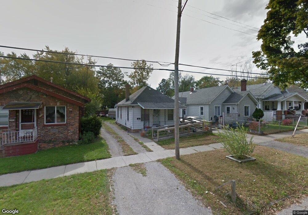
1730 Broadway Blvd Flint, MI 48506
Eastside NeighborhoodEstimated Value: $22,000 - $42,000
2
Beds
1
Bath
641
Sq Ft
$53/Sq Ft
Est. Value
About This Home
This home is located at 1730 Broadway Blvd, Flint, MI 48506 and is currently estimated at $34,066, approximately $53 per square foot. 1730 Broadway Blvd is a home located in Genesee County with nearby schools including Potter School, Flint Cultural Center Academy, and WAY Academy of Flint.
Ownership History
Date
Name
Owned For
Owner Type
Purchase Details
Closed on
Aug 29, 2018
Sold by
Graves Steven Allen and Anthony Joseph Kent Living Tru
Bought by
Graves Tammie Lea
Current Estimated Value
Purchase Details
Closed on
Feb 11, 2018
Sold by
Graves Amanda S
Bought by
Anthony Joseph Kent Living Trust
Purchase Details
Closed on
May 4, 2007
Sold by
Graves William G
Bought by
Graves Amanda S
Purchase Details
Closed on
Dec 15, 2004
Sold by
Graves Lelilah
Bought by
Graves William G
Purchase Details
Closed on
Apr 28, 2000
Sold by
Graves Family Trust and Delilah
Bought by
Graves Delilah
Create a Home Valuation Report for This Property
The Home Valuation Report is an in-depth analysis detailing your home's value as well as a comparison with similar homes in the area
Home Values in the Area
Average Home Value in this Area
Purchase History
| Date | Buyer | Sale Price | Title Company |
|---|---|---|---|
| Graves Tammie Lea | -- | None Available | |
| Anthony Joseph Kent Living Trust | -- | None Available | |
| Graves Amanda S | -- | None Available | |
| Graves William G | -- | None Available | |
| Graves Delilah | -- | -- |
Source: Public Records
Tax History
| Year | Tax Paid | Tax Assessment Tax Assessment Total Assessment is a certain percentage of the fair market value that is determined by local assessors to be the total taxable value of land and additions on the property. | Land | Improvement |
|---|---|---|---|---|
| 2025 | $578 | $7,800 | $0 | $0 |
| 2024 | $548 | $6,800 | $0 | $0 |
| 2023 | $546 | $6,100 | $0 | $0 |
| 2022 | $0 | $5,000 | $0 | $0 |
| 2021 | $547 | $4,300 | $0 | $0 |
| 2020 | $517 | $3,800 | $0 | $0 |
| 2019 | $520 | $3,800 | $0 | $0 |
| 2018 | $405 | $4,000 | $0 | $0 |
| 2017 | $653 | $0 | $0 | $0 |
| 2016 | $397 | $0 | $0 | $0 |
| 2015 | -- | $0 | $0 | $0 |
| 2014 | -- | $0 | $0 | $0 |
| 2012 | -- | $3,800 | $0 | $0 |
Source: Public Records
Map
Nearby Homes
- 1805 Bennett Ave
- 1529 Broadway Blvd
- 1622 Arlington Ave
- 1724 Ohio Ave
- 1540 Illinois Ave
- 1609 Ohio Ave
- 1501 Arlington Ave
- 1318 Cronk Ave
- 1721 New York Ave
- 1216 Minnesota Ave
- 2506 Arlington Ave
- 1629 New York Ave
- 2426 Broadway Blvd
- 2321 Levern St
- 2301 Missouri Ave
- 2302 Missouri Ave
- 2601 Illinois Ave
- 1454 Delaware Ave
- 2433 Pennsylvania Ave
- 2211 Torrance St
- 1726 Broadway Blvd
- 1732 Broadway Blvd
- 1722 Broadway Blvd
- 1802 Broadway Blvd
- 1806 Broadway Blvd
- 1810 Broadway Blvd
- 1718 Broadway Blvd
- 1725 Davison Rd
- 1733 Davison Rd
- 1737 Davison Rd
- 1814 Broadway Blvd
- 1710 Broadway Blvd
- 1714 Broadway Blvd
- 1717 Davison Rd
- 1729 Broadway Blvd
- 1729 Davison Rd
- 1713 Davison Rd
- 1725 Broadway Blvd
- 1735 Broadway Blvd
- 1801 Broadway Blvd
Your Personal Tour Guide
Ask me questions while you tour the home.