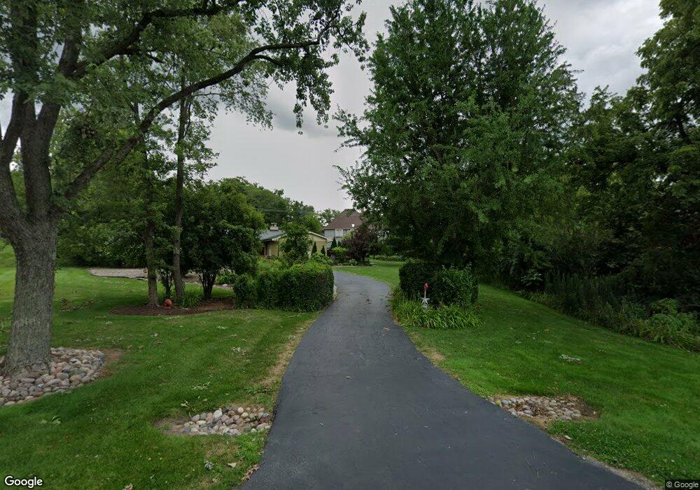
1730 Butterfield Rd Flossmoor, IL 60422
Estimated Value: $447,000 - $529,000
4
Beds
4
Baths
3,449
Sq Ft
$139/Sq Ft
Est. Value
About This Home
This home is located at 1730 Butterfield Rd, Flossmoor, IL 60422 and is currently estimated at $479,888, approximately $139 per square foot. 1730 Butterfield Rd is a home located in Cook County with nearby schools including Western Avenue Elementary School, Parker Junior High School, and Homewood-Flossmoor High School.
Ownership History
Date
Name
Owned For
Owner Type
Purchase Details
Closed on
Jul 29, 2024
Sold by
Vazquez-Scott Maria
Bought by
Provisions Of A Certain Trust and Chicago Title Land Trust
Current Estimated Value
Purchase Details
Closed on
Jun 22, 2017
Sold by
New York Community Bank
Bought by
Vazquez Scott Maria
Home Financials for this Owner
Home Financials are based on the most recent Mortgage that was taken out on this home.
Original Mortgage
$244,577
Interest Rate
4%
Mortgage Type
New Conventional
Purchase Details
Closed on
Oct 24, 2016
Sold by
Lawton Ronald B and Lawton Ronald
Bought by
New York Community Bank
Purchase Details
Closed on
May 31, 2000
Sold by
Chicago Title Land Trust Company
Bought by
Lawton Ronald B and Lawton Julie A
Home Financials for this Owner
Home Financials are based on the most recent Mortgage that was taken out on this home.
Original Mortgage
$375,250
Interest Rate
7.62%
Purchase Details
Closed on
Oct 22, 1999
Sold by
Kuehr Perry L and Kuehr Karen L
Bought by
Chicago Title Land Trust Company and Trust #1107733
Purchase Details
Closed on
Aug 14, 1997
Sold by
South Holland Trust & Svgs Bank
Bought by
Sloan Michael and Sloan Linda
Home Financials for this Owner
Home Financials are based on the most recent Mortgage that was taken out on this home.
Original Mortgage
$300,000
Interest Rate
7.71%
Purchase Details
Closed on
Jul 26, 1997
Sold by
Sloan Michael and Sloan Linda
Bought by
Kuehr Perry and Kuehr Karen
Home Financials for this Owner
Home Financials are based on the most recent Mortgage that was taken out on this home.
Original Mortgage
$300,000
Interest Rate
7.71%
Create a Home Valuation Report for This Property
The Home Valuation Report is an in-depth analysis detailing your home's value as well as a comparison with similar homes in the area
Home Values in the Area
Average Home Value in this Area
Purchase History
| Date | Buyer | Sale Price | Title Company |
|---|---|---|---|
| Provisions Of A Certain Trust | -- | Chicago Title | |
| Vazquez Scott Maria | $257,500 | Attorneys Title Guaranty Fun | |
| New York Community Bank | -- | None Available | |
| Lawton Ronald B | $395,000 | -- | |
| Chicago Title Land Trust Company | -- | -- | |
| Sloan Michael | -- | -- | |
| Kuehr Perry | $266,666 | -- |
Source: Public Records
Mortgage History
| Date | Status | Borrower | Loan Amount |
|---|---|---|---|
| Previous Owner | Vazquez Scott Maria | $244,577 | |
| Previous Owner | Lawton Ronald B | $375,250 | |
| Previous Owner | Kuehr Perry | $300,000 |
Source: Public Records
Tax History Compared to Growth
Tax History
| Year | Tax Paid | Tax Assessment Tax Assessment Total Assessment is a certain percentage of the fair market value that is determined by local assessors to be the total taxable value of land and additions on the property. | Land | Improvement |
|---|---|---|---|---|
| 2024 | $13,912 | $36,000 | $6,930 | $29,070 |
| 2023 | $17,248 | $36,000 | $6,930 | $29,070 |
| 2022 | $17,248 | $35,489 | $13,860 | $21,629 |
| 2021 | $17,327 | $35,487 | $13,859 | $21,628 |
| 2020 | $16,717 | $35,487 | $13,859 | $21,628 |
| 2019 | $19,371 | $39,374 | $12,127 | $27,247 |
| 2018 | $20,421 | $39,374 | $12,127 | $27,247 |
| 2017 | $22,578 | $47,715 | $12,127 | $35,588 |
| 2016 | $20,413 | $41,040 | $10,394 | $30,646 |
| 2015 | $20,444 | $41,040 | $10,394 | $30,646 |
| 2014 | $20,086 | $41,040 | $10,394 | $30,646 |
| 2013 | $18,261 | $40,849 | $10,394 | $30,455 |
Source: Public Records
Map
Nearby Homes
- 2937 Kathleen Ln
- 1430 Brassie Ave
- 3013 Mac Heath Crescent
- 1402 Berry Ln
- 1833 Pheasant Ct
- 2904 Athena Ct
- 2908 Athena Ct
- 1418 Western Ave
- 20015 Delphi Dr
- 2450 Saint Andrews Dr
- 1248 Oakmont Ave
- 1248 Berry Ln
- 3045 Scott Crescent
- 20194 Augusta Dr
- 1141 Leavitt Ave Unit 115
- 1139 Leavitt Ave Unit 212
- 1139 Leavitt Ave Unit 313
- 3106 Hermes Dr
- 2633 Hawthorne Ln Unit B
- 1450 Tanglewood St Unit 1B
- 1723 Oak Lane Rd
- 1740 Butterfield Rd
- 1741 Oak Lane Rd
- 1809 Oak Lane Rd
- 4 Butterfield Cir
- 2735 Oak Lane Rd
- 1728 Oak Lane Rd
- 1817 Oak Lane Rd
- 2648 Brassie Ave
- 2702 Brassie Ave
- 2644 Brassie Ave
- 2737 Perry Rd
- 3 Butterfield Cir
- 2712 Brassie Ave
- 2741 Lake Dr
- 1705 Butterfield Rd
- 1727 Lake Dr
- 2720 Brassie Ave
- 1825 Oak Lane Rd
- 2747 Lake Dr