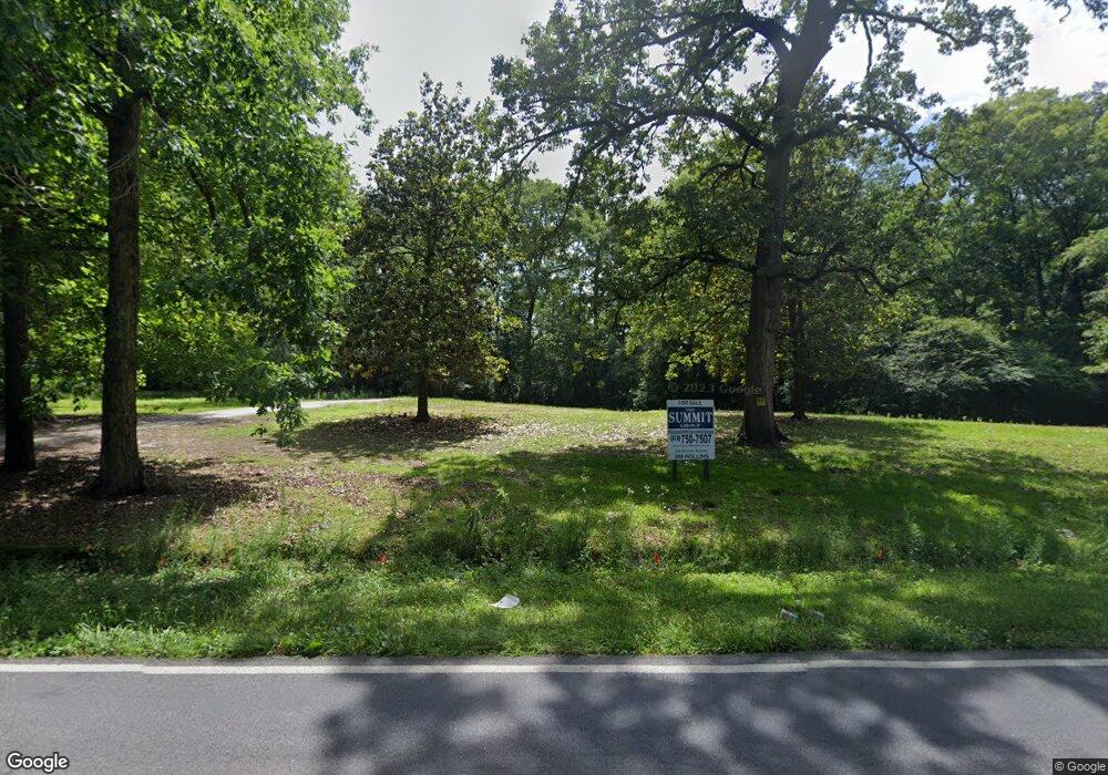
1730 Forest Hill Rd Macon, GA 31210
Estimated Value: $243,000 - $377,197
2
Beds
2
Baths
2,181
Sq Ft
$139/Sq Ft
Est. Value
About This Home
This home is located at 1730 Forest Hill Rd, Macon, GA 31210 and is currently estimated at $302,399, approximately $138 per square foot. 1730 Forest Hill Rd is a home located in Bibb County with nearby schools including Lane Elementary School, Howard Middle School, and Howard High School.
Ownership History
Date
Name
Owned For
Owner Type
Purchase Details
Closed on
Dec 19, 2024
Sold by
Burkhalter Louise Hill
Bought by
Burkhalter Warren Louise and Bu Maffeo Julia
Current Estimated Value
Purchase Details
Closed on
Oct 10, 2022
Sold by
Hartness Amy H
Bought by
Scoots Ella And Magnum Llc
Purchase Details
Closed on
Oct 4, 2011
Sold by
Green Fannie Francise
Bought by
Pope Cynthia and Green Fannie Francine
Purchase Details
Closed on
Jul 30, 1991
Sold by
Hilllois T By Extrx
Bought by
Hill Monroe T - Tom Jr -
Create a Home Valuation Report for This Property
The Home Valuation Report is an in-depth analysis detailing your home's value as well as a comparison with similar homes in the area
Home Values in the Area
Average Home Value in this Area
Purchase History
| Date | Buyer | Sale Price | Title Company |
|---|---|---|---|
| Burkhalter Warren Louise | -- | None Listed On Document | |
| Scoots Ella And Magnum Llc | -- | -- | |
| Pope Cynthia | -- | None Available | |
| Hill Monroe T - Tom Jr - | -- | -- |
Source: Public Records
Tax History Compared to Growth
Tax History
| Year | Tax Paid | Tax Assessment Tax Assessment Total Assessment is a certain percentage of the fair market value that is determined by local assessors to be the total taxable value of land and additions on the property. | Land | Improvement |
|---|---|---|---|---|
| 2025 | $2,569 | $104,550 | $45,178 | $59,372 |
| 2024 | $2,506 | $98,657 | $39,285 | $59,372 |
| 2023 | $2,506 | $98,657 | $39,285 | $59,372 |
| 2022 | $3,515 | $101,514 | $54,434 | $47,080 |
| 2021 | $3,858 | $101,514 | $54,434 | $47,080 |
| 2020 | $3,941 | $101,514 | $54,434 | $47,080 |
| 2019 | $3,974 | $101,514 | $54,434 | $47,080 |
| 2018 | $6,266 | $101,514 | $54,434 | $47,080 |
| 2017 | $3,803 | $101,514 | $54,434 | $47,080 |
| 2016 | $3,512 | $101,514 | $54,434 | $47,080 |
| 2015 | $4,971 | $101,514 | $54,434 | $47,080 |
| 2014 | $1,660 | $101,514 | $54,434 | $47,080 |
Source: Public Records
Map
Nearby Homes
- 3658 Northside Dr
- 4661 N Beechwood Dr
- 200 N Wesleyan Cir
- 1475 Maplewood Dr
- 4630 Sprucewood Dr
- 1159 Wesleyan Dr
- 4653 S Beechwood Dr
- 4015 Elnora Dr
- 870 Glen Hill Ct
- 766 Forest Lake Dr N
- 4726 Cheryle Ann Dr
- 1344 Lake Valley Rd
- 1297 Wesleyan Dr
- 1270 Lake Valley Rd
- 4620 S Stratford Oaks Dr
- 920 Wesleyan Dr
- 108 Hillbrooke Ct
- 150 Springdale Ct
- 1700 Forest Hill Rd
- 1753 Forest Hill Rd
- 1761 Forest Hill Rd
- 0 Northside Dr Unit 8594763
- 0 Northside Dr Unit 7049697
- 0 Northside Dr Unit 3104292
- 4111 Northside Dr
- 925 Tolliver Place
- 1838 Forest Hill Rd
- 974 Tolliver Place
- 944 Tolliver Place
- 880 Tolliver Place
- 872 Tolliver Place
- 840 Tolliver Place
- 796 Tolliver Place
- 2400 Northside Crossing
- 0 Northside Crossing
- 1900 Northside Crossing Unit B
- 1107 Stillwater Ln
- 4605 Savage Creek Dr
