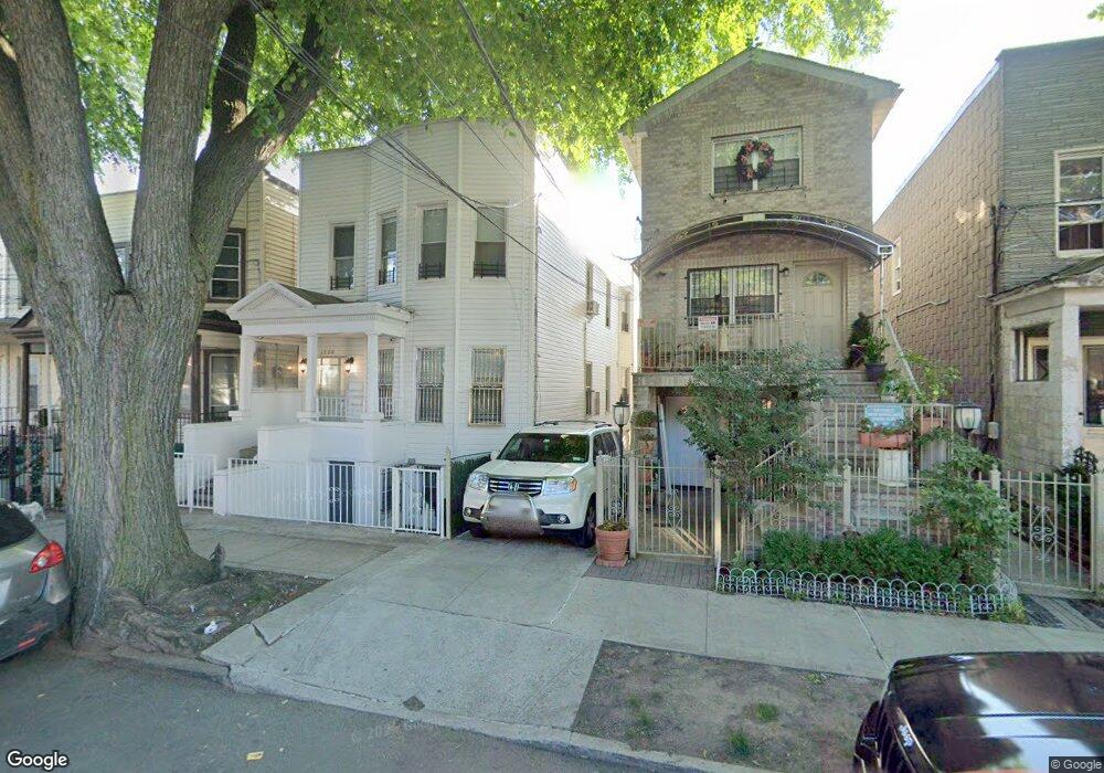
1730 Melville St Bronx, NY 10460
Van Nest NeighborhoodEstimated Value: $782,964 - $971,000
--
Bed
--
Bath
3,084
Sq Ft
$293/Sq Ft
Est. Value
About This Home
This home is located at 1730 Melville St, Bronx, NY 10460 and is currently estimated at $903,241, approximately $292 per square foot. 1730 Melville St is a home located in Bronx County with nearby schools including P.S. 105 Senator Abraham Bernstein, Pelham Academy, and Bronx Green Middle School.
Ownership History
Date
Name
Owned For
Owner Type
Purchase Details
Closed on
Apr 1, 2014
Sold by
Combined Assets Corp
Bought by
Owusu Samuel
Current Estimated Value
Purchase Details
Closed on
Apr 18, 2013
Sold by
Bryant Jv Llc
Bought by
Combined Assets Corp
Purchase Details
Closed on
Mar 1, 2013
Sold by
Rios Amada
Bought by
Bryant Jv Llc
Purchase Details
Closed on
Apr 8, 2005
Sold by
Glen Madeline
Bought by
Rios Amanda
Create a Home Valuation Report for This Property
The Home Valuation Report is an in-depth analysis detailing your home's value as well as a comparison with similar homes in the area
Home Values in the Area
Average Home Value in this Area
Purchase History
| Date | Buyer | Sale Price | Title Company |
|---|---|---|---|
| Owusu Samuel | $500,000 | -- | |
| Combined Assets Corp | $275,000 | -- | |
| Bryant Jv Llc | $180,000 | -- | |
| Rios Amanda | $495,000 | -- |
Source: Public Records
Tax History Compared to Growth
Tax History
| Year | Tax Paid | Tax Assessment Tax Assessment Total Assessment is a certain percentage of the fair market value that is determined by local assessors to be the total taxable value of land and additions on the property. | Land | Improvement |
|---|---|---|---|---|
| 2025 | $6,333 | $33,422 | $5,608 | $27,814 |
| 2024 | $6,333 | $31,531 | $6,006 | $25,525 |
| 2023 | $6,042 | $29,748 | $5,330 | $24,418 |
| 2022 | $5,603 | $44,280 | $8,880 | $35,400 |
| 2021 | $5,907 | $43,020 | $8,880 | $34,140 |
| 2020 | $5,895 | $41,160 | $8,880 | $32,280 |
| 2019 | $5,497 | $36,960 | $8,880 | $28,080 |
| 2018 | $5,053 | $24,790 | $6,482 | $18,308 |
| 2017 | $4,768 | $23,389 | $5,731 | $17,658 |
| 2016 | $4,676 | $23,389 | $6,761 | $16,628 |
| 2015 | $2,661 | $23,210 | $7,930 | $15,280 |
| 2014 | $2,661 | $21,897 | $7,962 | $13,935 |
Source: Public Records
Map
Nearby Homes
- 1738 Melville St
- 1713 Taylor Ave
- 518 Morris Park Ave
- 506 van Nest Ave
- 504 van Nest Ave
- 508 van Nest Ave
- 500 van Nest Ave
- 1622 Van Buren St
- 591 van Nest Ave
- 1760 E Tremont Ave
- 633 Mead St
- 1517 Rosedale Ave
- 1513 Rosedale Ave
- 1735 Mansion St
- 677 van Nest Ave
- 679 van Nest Ave
- 1721 White Plains Rd
- 1731 White Plains Rd
- 1827 Amethyst St
- 1479 Rosedale Ave
- 1732 Melville St
- 1728 Melville St
- 1736 Melville St
- 1726 Melville St
- 1722 Melville St
- 1731 Taylor Ave
- 1740 Melville St
- 1729 Taylor Ave
- 1733 Taylor Ave
- 1720 Melville St
- 1737 Taylor Ave
- 1727 Taylor Ave
- 1739 Taylor Ave
- 1725 Taylor Ave
- 1742 Melville St
- 1718 Melville St Unit 1
- 1718 Melville St
- 1741 Taylor Ave
- 1723 Taylor Ave
- 1731 Melville St