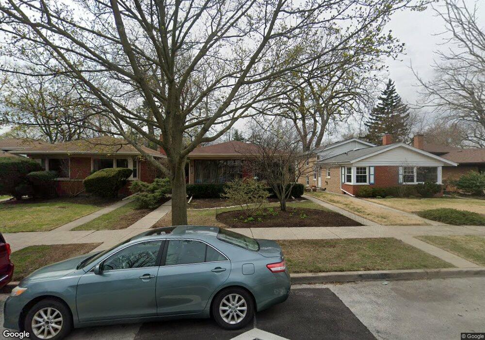
1730 South Blvd Evanston, IL 60202
Estimated Value: $467,000 - $525,872
3
Beds
2
Baths
1,383
Sq Ft
$353/Sq Ft
Est. Value
About This Home
This home is located at 1730 South Blvd, Evanston, IL 60202 and is currently estimated at $488,468, approximately $353 per square foot. 1730 South Blvd is a home located in Cook County with nearby schools including Dawes Elementary School, Chute Middle School, and Evanston Township High School.
Ownership History
Date
Name
Owned For
Owner Type
Purchase Details
Closed on
May 20, 2025
Sold by
Clear James Patrick and Clear Barbara Hyslop
Bought by
Clear Family Trust
Current Estimated Value
Purchase Details
Closed on
May 31, 1994
Sold by
Laker Claire S
Bought by
Hyslop Clear James Patrick and Hyslop Clear Barbara
Home Financials for this Owner
Home Financials are based on the most recent Mortgage that was taken out on this home.
Original Mortgage
$152,100
Interest Rate
7.12%
Create a Home Valuation Report for This Property
The Home Valuation Report is an in-depth analysis detailing your home's value as well as a comparison with similar homes in the area
Home Values in the Area
Average Home Value in this Area
Purchase History
| Date | Buyer | Sale Price | Title Company |
|---|---|---|---|
| Clear Family Trust | -- | None Listed On Document | |
| Hyslop Clear James Patrick | $169,000 | -- |
Source: Public Records
Mortgage History
| Date | Status | Borrower | Loan Amount |
|---|---|---|---|
| Previous Owner | Hyslop Clear James Patrick | $152,100 |
Source: Public Records
Tax History Compared to Growth
Tax History
| Year | Tax Paid | Tax Assessment Tax Assessment Total Assessment is a certain percentage of the fair market value that is determined by local assessors to be the total taxable value of land and additions on the property. | Land | Improvement |
|---|---|---|---|---|
| 2024 | $7,364 | $35,991 | $7,722 | $28,269 |
| 2023 | $7,493 | $38,000 | $7,722 | $30,278 |
| 2022 | $7,493 | $38,000 | $7,722 | $30,278 |
| 2021 | $6,484 | $30,104 | $5,616 | $24,488 |
| 2020 | $6,505 | $30,104 | $5,616 | $24,488 |
| 2019 | $6,519 | $33,636 | $5,616 | $28,020 |
| 2018 | $6,148 | $28,329 | $4,680 | $23,649 |
| 2017 | $6,015 | $28,329 | $4,680 | $23,649 |
| 2016 | $6,647 | $30,212 | $4,680 | $25,532 |
| 2015 | $5,016 | $22,942 | $3,861 | $19,081 |
| 2014 | $4,993 | $22,942 | $3,861 | $19,081 |
| 2013 | $5,345 | $22,942 | $3,861 | $19,081 |
Source: Public Records
Map
Nearby Homes
- 1810 South Blvd
- 1916 Keeney St
- 604 Dodge Ave
- 1927 Warren St
- 401 Dewey Ave
- 325 Dodge Ave
- 419 Florence Ave
- 309 Darrow Ave
- 347 Florence Ave
- 704 Florence Ave
- 532 Wesley Ave Unit WEST
- 1408 Seward St
- 1810 Washington St
- 2213 Cleveland St
- 215 Brown Ave
- 235 Richmond St
- 2011 Brummel St
- 220 Richmond St
- 1217 Hull Terrace Unit 3A
- 647 Asbury Ave
- 1800 South Blvd
- 1728 South Blvd
- 1804 South Blvd
- 1722 South Blvd
- 1733 Oakton St
- 1720 South Blvd
- 1808 South Blvd
- 1801 Oakton St
- 1729 Oakton St
- 1805 Oakton St
- 1725 Oakton St
- 1718 South Blvd
- 1731 South Blvd
- 1803 South Blvd
- 1811 Oakton St
- 1727 South Blvd
- 1717 Oakton St
- 1725 South Blvd
- 1814 South Blvd
- 1809 South Blvd