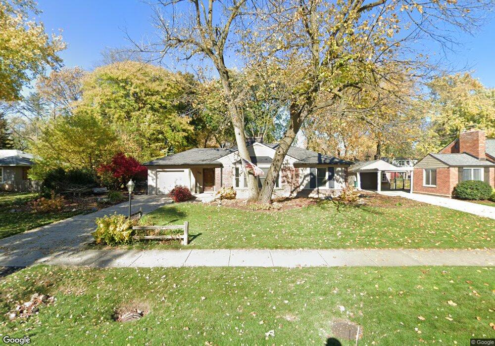
17300 Birwood Ave Beverly Hills, MI 48025
Estimated Value: $417,788 - $516,000
2
Beds
1
Bath
1,312
Sq Ft
$355/Sq Ft
Est. Value
About This Home
This home is located at 17300 Birwood Ave, Beverly Hills, MI 48025 and is currently estimated at $466,197, approximately $355 per square foot. 17300 Birwood Ave is a home located in Oakland County with nearby schools including Beverly Elementary School, Wylie E. Groves High School, and Berkshire Middle School.
Ownership History
Date
Name
Owned For
Owner Type
Purchase Details
Closed on
Feb 4, 2009
Sold by
The Smith Revocable Living Trust and Mcgrath Erin C
Bought by
Sakstrup Derek D
Current Estimated Value
Home Financials for this Owner
Home Financials are based on the most recent Mortgage that was taken out on this home.
Original Mortgage
$35,000
Outstanding Balance
$22,077
Interest Rate
5.06%
Mortgage Type
Purchase Money Mortgage
Estimated Equity
$444,120
Create a Home Valuation Report for This Property
The Home Valuation Report is an in-depth analysis detailing your home's value as well as a comparison with similar homes in the area
Home Values in the Area
Average Home Value in this Area
Purchase History
| Date | Buyer | Sale Price | Title Company |
|---|---|---|---|
| Sakstrup Derek D | $161,600 | Devon Title Agency |
Source: Public Records
Mortgage History
| Date | Status | Borrower | Loan Amount |
|---|---|---|---|
| Open | Sakstrup Derek D | $35,000 |
Source: Public Records
Tax History Compared to Growth
Tax History
| Year | Tax Paid | Tax Assessment Tax Assessment Total Assessment is a certain percentage of the fair market value that is determined by local assessors to be the total taxable value of land and additions on the property. | Land | Improvement |
|---|---|---|---|---|
| 2024 | $3,642 | $169,150 | $0 | $0 |
| 2023 | $3,494 | $154,980 | $0 | $0 |
| 2022 | $3,790 | $146,530 | $0 | $0 |
| 2021 | $3,822 | $139,520 | $0 | $0 |
| 2020 | $3,201 | $132,210 | $0 | $0 |
| 2019 | $2,529 | $127,510 | $0 | $0 |
| 2018 | $3,701 | $120,830 | $0 | $0 |
| 2017 | $3,681 | $120,830 | $0 | $0 |
| 2016 | $3,690 | $113,300 | $0 | $0 |
| 2015 | -- | $104,070 | $0 | $0 |
| 2014 | -- | $93,180 | $0 | $0 |
| 2011 | -- | $81,870 | $0 | $0 |
Source: Public Records
Map
Nearby Homes
- 16975 W Fourteen Mile Rd
- 1886 Henrietta St
- 1748 Stanley Blvd
- 1723 Birmingham Blvd
- 1850 Shipman Blvd
- 16950 Kinross Ave
- 150 Bird Ave Unit 20
- 1626 Maryland Blvd
- 16281 Buckingham Ave
- 251 E 14 Mile Rd
- 955 Wakefield St
- 1541 Shipman Blvd
- 1130 Wakefield St
- 1419 Henrietta St
- 350 Catalpa Dr
- 1897 Norfolk St
- 15858 Kirkshire Ave
- 1485 Cedar Dr
- 1380 Pierce St
- 16946 Reedmere Ave
- 17330 Birwood Ave
- 17234 Birwood Ave
- 17360 Birwood Ave
- 17233 Kirkshire Ave
- 17335 Kirkshire Ave
- 17301 Birwood Ave
- 17333 Birwood Ave
- 17381 Kirkshire Ave
- 17235 Birwood Ave
- 17194 Birwood Ave
- 17375 Birwood Ave
- 17400 Birwood Ave
- 17193 Kirkshire Ave
- 17215 Birwood Ave
- 17425 Kirkshire Ave
- 17441 Birwood Ave
- 17195 Birwood Ave
- 17450 Birwood Ave
- 17178 Birwood Ave
- 17320 Kirkshire Ave