Estimated Value: $636,000 - $1,242,572
--
Bed
3
Baths
4,060
Sq Ft
$229/Sq Ft
Est. Value
About This Home
This home is located at 17300 Darnestown Rd, Boyds, MD 20841 and is currently estimated at $928,857, approximately $228 per square foot. 17300 Darnestown Rd is a home located in Montgomery County with nearby schools including Poolesville Elementary School, John H. Poole Middle School, and Poolesville High School.
Ownership History
Date
Name
Owned For
Owner Type
Purchase Details
Closed on
Apr 25, 2017
Sold by
Seana Hillley Mary and The Maureen A Rielley Revocabl
Bought by
Hilley Mary Seana and The Rielley Family Trust
Current Estimated Value
Purchase Details
Closed on
Mar 21, 2013
Sold by
Rielley Maureen A and Hilley Mary Seana
Bought by
Rielley Maureen A and Hilley Mary Seana
Purchase Details
Closed on
Jul 15, 2010
Sold by
Rielley Walter J and Rielley Marueen M
Bought by
Rielley Walter James and The Walter James Rielley Revoc
Purchase Details
Closed on
Apr 28, 2005
Sold by
Rielley Maureen M
Bought by
Rielley Walter J and Rielley Maureen M
Purchase Details
Closed on
Feb 20, 1998
Sold by
M Walter J and M Rielley M
Bought by
Rielley Maureen M
Create a Home Valuation Report for This Property
The Home Valuation Report is an in-depth analysis detailing your home's value as well as a comparison with similar homes in the area
Home Values in the Area
Average Home Value in this Area
Purchase History
| Date | Buyer | Sale Price | Title Company |
|---|---|---|---|
| Hilley Mary Seana | -- | None Available | |
| Rielley Maureen A | -- | None Available | |
| Rielley Maureen A | -- | None Available | |
| Rielley Walter James | -- | None Available | |
| Rielley Walter J | -- | -- | |
| Rielley Maureen M | -- | -- |
Source: Public Records
Tax History Compared to Growth
Tax History
| Year | Tax Paid | Tax Assessment Tax Assessment Total Assessment is a certain percentage of the fair market value that is determined by local assessors to be the total taxable value of land and additions on the property. | Land | Improvement |
|---|---|---|---|---|
| 2025 | $6,672 | $545,633 | -- | -- |
| 2024 | $6,672 | $508,500 | $278,900 | $229,600 |
| 2023 | $6,954 | $476,433 | $0 | $0 |
| 2022 | $4,967 | $444,367 | $0 | $0 |
| 2021 | $4,237 | $412,300 | $270,900 | $141,400 |
| 2020 | $4,237 | $411,433 | $0 | $0 |
| 2019 | $4,213 | $410,567 | $0 | $0 |
| 2018 | $4,203 | $409,700 | $270,900 | $138,800 |
| 2017 | $4,286 | $409,700 | $0 | $0 |
| 2016 | -- | $409,700 | $0 | $0 |
| 2015 | $4,702 | $418,500 | $0 | $0 |
| 2014 | $4,702 | $418,500 | $0 | $0 |
Source: Public Records
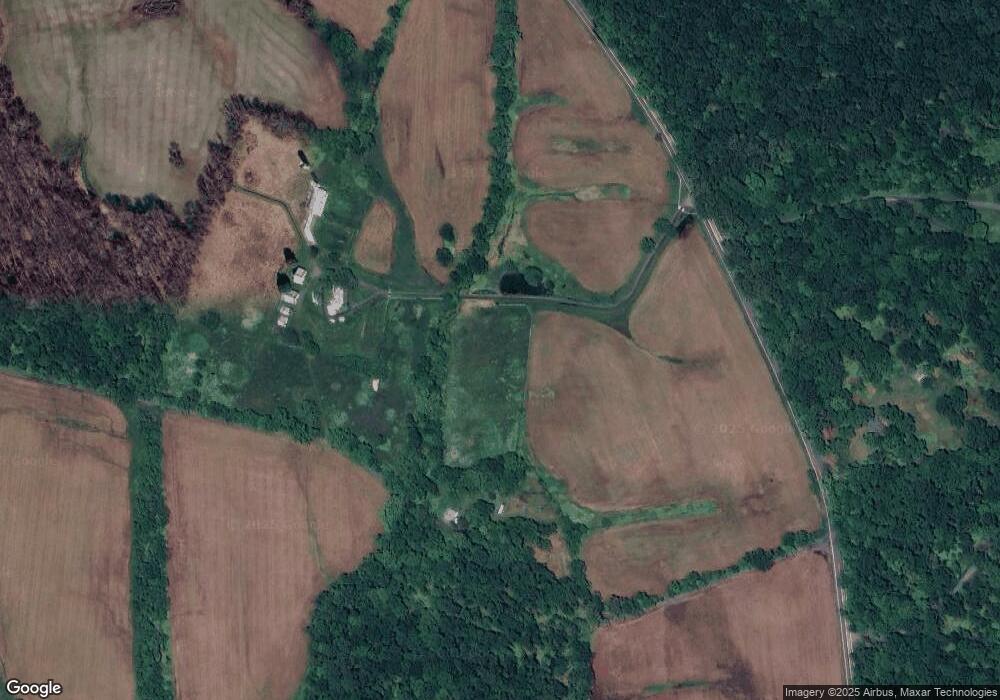
Map
Nearby Homes
- 0 White Ground Rd Unit MDMC2199108
- 17007 Whites Ferry Rd
- 19005 Dowden Cir
- 17528 Collier Cir
- The Vermeer Plan at Estates at Hartz Farm
- The Rodin Plan at Estates at Hartz Farm
- The Hamner II Plan at Estates at Hartz Farm
- The Bernini Plan at Estates at Hartz Farm
- The Walton Plan at Estates at Hartz Farm
- 17108 Wild Turkey Way
- 17112 Wild Turkey Way
- 17100 Wild Turkey Way
- 17616 Soper St
- 0 Jerusalem Church Rd
- 19509 Fisher Ave Unit (LOT 2)
- 19507 Fisher Ave Unit (LOT 3)
- 19505 Fisher Ave Unit (LOT 1)
- 19559 Wootton Ave
- 17305 Fletchall Rd
- 0 Hoyles Mill Rd
- 17201 Darnestown Rd
- 17125 Darnestown Rd
- 17315 Darnestown Rd
- 17101 Darnestown Rd
- 18101 Bucklodge Rd
- 17021 Darnestown Rd
- 18100 Bucklodge Rd
- 2110 Peach Tree Rd
- 18111 Bucklodge Rd
- 17601 Darnestown Rd
- 18151 Bucklodge Rd
- 18200 Bucklodge Rd
- 17000 Darnestown Rd
- 17704 White Ground Rd
- 16915 Darnestown Rd
- 17609 Darnestown Rd
- 17700 White Ground Rd
- 17300 White Ground Rd