17302 Coal Kiln Rd Painter, VA 23420
Estimated Value: $139,210 - $191,000
--
Bed
--
Bath
--
Sq Ft
0.87
Acres
About This Home
This home is located at 17302 Coal Kiln Rd, Painter, VA 23420 and is currently estimated at $159,553. 17302 Coal Kiln Rd is a home located in Accomack County with nearby schools including Pungoteague Elementary School, Nandua Middle School, and Nandua High School.
Ownership History
Date
Name
Owned For
Owner Type
Purchase Details
Closed on
Apr 13, 2017
Bought by
Strand Gladys L
Current Estimated Value
Home Financials for this Owner
Home Financials are based on the most recent Mortgage that was taken out on this home.
Original Mortgage
$52,638
Outstanding Balance
$35,556
Interest Rate
4.1%
Mortgage Type
New Conventional
Estimated Equity
$123,997
Create a Home Valuation Report for This Property
The Home Valuation Report is an in-depth analysis detailing your home's value as well as a comparison with similar homes in the area
Home Values in the Area
Average Home Value in this Area
Purchase History
| Date | Buyer | Sale Price | Title Company |
|---|---|---|---|
| Strand Gladys L | -- | -- |
Source: Public Records
Mortgage History
| Date | Status | Borrower | Loan Amount |
|---|---|---|---|
| Open | Strand Gladys L | $52,638 |
Source: Public Records
Tax History Compared to Growth
Tax History
| Year | Tax Paid | Tax Assessment Tax Assessment Total Assessment is a certain percentage of the fair market value that is determined by local assessors to be the total taxable value of land and additions on the property. | Land | Improvement |
|---|---|---|---|---|
| 2025 | $527 | $98,600 | $21,700 | $76,900 |
| 2024 | $477 | $98,600 | $21,700 | $76,900 |
| 2023 | $443 | $74,400 | $21,700 | $52,700 |
| 2022 | $443 | $74,400 | $21,700 | $52,700 |
| 2021 | $413 | $67,700 | $21,700 | $46,000 |
| 2020 | $413 | $67,700 | $21,700 | $46,000 |
| 2019 | $382 | $62,700 | $21,700 | $41,000 |
| 2018 | $382 | $62,700 | $21,700 | $41,000 |
| 2017 | $411 | $67,400 | $24,100 | $43,300 |
| 2016 | $411 | $67,400 | $24,100 | $43,300 |
| 2015 | $397 | $68,500 | $24,100 | $44,400 |
| 2014 | $397 | $68,500 | $24,100 | $44,400 |
| 2013 | -- | $74,900 | $24,100 | $50,800 |
Source: Public Records
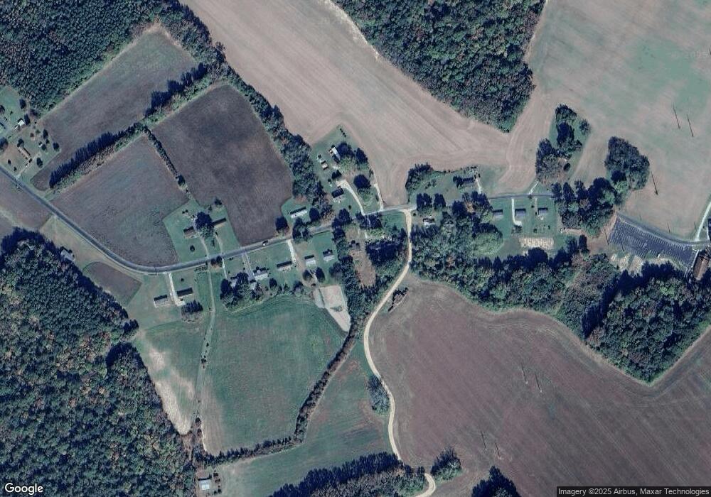
Map
Nearby Homes
- 34120 Lankford Hwy
- Lot A & B Elmore Rd
- LOT A&B Elmore Rd Unit A&B
- 16008 Cosby St
- 16300 Savagetown Rd
- 34000 Seaside Rd
- Lot 34 Lankford Hwy Unit 34
- Lot B1 Clam Ct Unit B1
- Parcel 109c-4-5 6 7 8 &9
- 35257 Cats Point Ln
- 15190 King St
- 36175 N Wainhouse Rd
- 18513 Red Hill Rd
- 2277 T-693
- 12196 Tower Way
- 32510 Seaside Rd
- 36073 Upshurs Neck Rd
- 35486 Upshur Neck Rd
- Lot 3 Terrapin Station Unit 3
- 143 acre Rivers Edge Way Unit 1-23
- 17290 Coal Kiln Rd
- 17312 Coal Kiln Rd
- 17282 Coal Kiln Rd
- 17303 Coal Kiln Rd
- 17309 Coal Kiln Rd
- 17270 Coal Kiln Rd
- 17334 Coal Kiln Rd
- 17348 Coal Kiln Rd
- 17313 Coal Kiln Rd
- 17258 Coal Kiln Rd
- 17250 Coal Kiln Rd
- 17356 Coal Kiln Rd
- 17355 Coal Kiln Rd
- 17245 Coal Kiln Rd
- 17364 Coal Kiln Rd
- 17235 Coal Kiln Rd
- 17376 Coal Kiln Rd
- 17386 Coal Kiln Rd
- 17214 Coal Kiln Rd
- 17400 Coal Kiln Rd