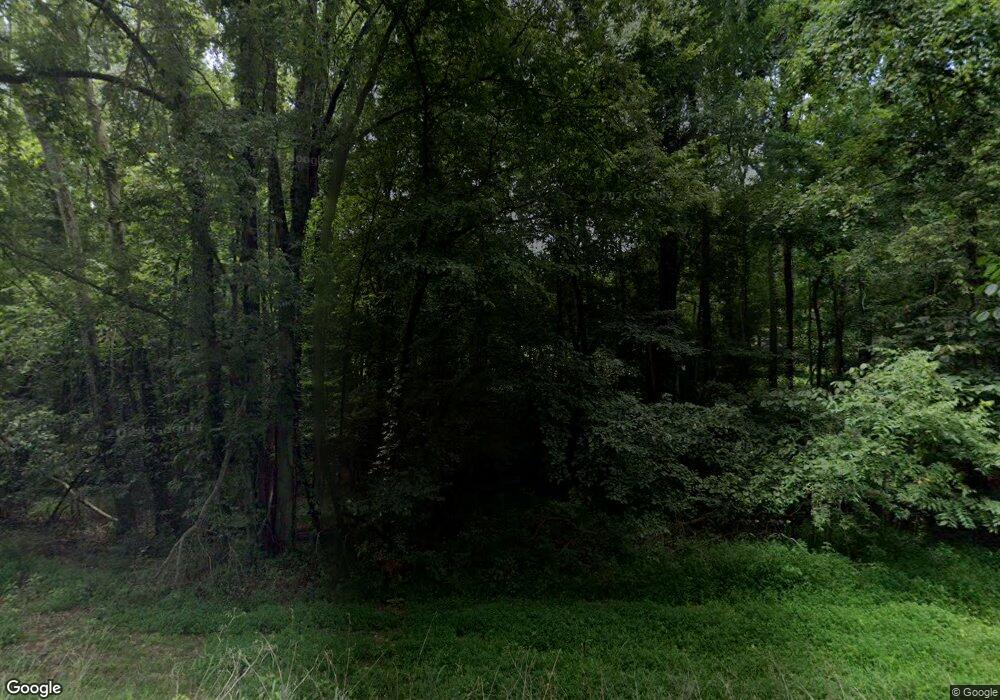
Estimated Value: $271,000 - $1,047,325
--
Bed
--
Bath
--
Sq Ft
40
Acres
About This Home
This home is located at 17303 Linton Rd, Cadiz, KY 42211 and is currently estimated at $613,831. 17303 Linton Rd is a home with nearby schools including Trigg County Primary School, Trigg County Intermediate School, and Trigg County Middle School.
Ownership History
Date
Name
Owned For
Owner Type
Purchase Details
Closed on
Sep 29, 2023
Sold by
Choate Clarence Ray and Choate Sherry Ann
Bought by
Futrell Holding Co Llc
Current Estimated Value
Home Financials for this Owner
Home Financials are based on the most recent Mortgage that was taken out on this home.
Original Mortgage
$550,000
Outstanding Balance
$538,913
Interest Rate
7.23%
Mortgage Type
New Conventional
Estimated Equity
$74,918
Purchase Details
Closed on
Dec 17, 2020
Sold by
Culp Charles J and Culp Michele J
Bought by
Sauers Joseph P
Home Financials for this Owner
Home Financials are based on the most recent Mortgage that was taken out on this home.
Original Mortgage
$191,250
Interest Rate
2.7%
Mortgage Type
Future Advance Clause Open End Mortgage
Create a Home Valuation Report for This Property
The Home Valuation Report is an in-depth analysis detailing your home's value as well as a comparison with similar homes in the area
Home Values in the Area
Average Home Value in this Area
Purchase History
| Date | Buyer | Sale Price | Title Company |
|---|---|---|---|
| Futrell Holding Co Llc | $132,900 | None Listed On Document | |
| Futrell Holding Co Llc | $132,900 | None Listed On Document | |
| Sauers Joseph P | $255,000 | Freedom Title Services |
Source: Public Records
Mortgage History
| Date | Status | Borrower | Loan Amount |
|---|---|---|---|
| Open | Futrell Holding Co Llc | $550,000 | |
| Closed | Futrell Holding Co Llc | $550,000 | |
| Previous Owner | Sauers Joseph P | $191,250 |
Source: Public Records
Tax History Compared to Growth
Tax History
| Year | Tax Paid | Tax Assessment Tax Assessment Total Assessment is a certain percentage of the fair market value that is determined by local assessors to be the total taxable value of land and additions on the property. | Land | Improvement |
|---|---|---|---|---|
| 2024 | $5,826 | $660,100 | $0 | $0 |
| 2023 | $6,321 | $660,100 | $0 | $0 |
| 2022 | $2,366 | $240,100 | $0 | $0 |
| 2021 | $2,421 | $240,100 | $0 | $0 |
| 2020 | $681 | $65,000 | $0 | $0 |
| 2019 | $681 | $65,000 | $0 | $0 |
| 2018 | $665 | $65,000 | $0 | $0 |
| 2017 | $585 | $65,000 | $0 | $0 |
| 2016 | $571 | $0 | $0 | $0 |
| 2015 | $569 | $0 | $0 | $0 |
| 2010 | $532 | $0 | $0 | $0 |
Source: Public Records
Map
Nearby Homes
- 199 Boone Dr
- 011 Breckinridge Point
- 000 Maple Ln
- 000 Terrace Ln
- 000 Cedar Ln
- 455 Canton Lakeshore Dr
- 76 Boyds Landing Rd
- 251 Driftwood Dr
- 0 Eleanor Way Unit 41707
- 0 Eleanor Way Unit RTC2780387
- Lot 24 Osprey Landing II Unit Bragg Pond Rd
- 360 Boyds Landing Rd
- 233 Bay Ln
- Lot 15 Trillium Way Unit Lot 15 Osprey Landin
- 000 Canton Ln
- 104 Water District Rd
- Bluegrass Est 6 Canton Blue Spring Rd
- 327 Night Heron Rd
- 0 Lock East Rd
- Lots 5 & 6 Malcolm's Point Rd
- 303 Livingston Way
- 279 Livingston Way
- 247 Boone Dr
- 35 Fulton Rd
- 227 Boone Dr
- 000 Fulton Rd
- 00 Livingston Way
- 227 Livingston Way
- 230 Livingston Way
- 141 Boone Dr
- 296 Boone Dr
- 81 Fulton Rd
- 145 Pendleton Point
- 25 Pendleton Point
- 164 Livingston Way
- 732 Breckinridge Point
- 41 Highland Ct
- 768 Breckinridge Point
- 85 Boone Dr
- 726 Breckinridge Point
