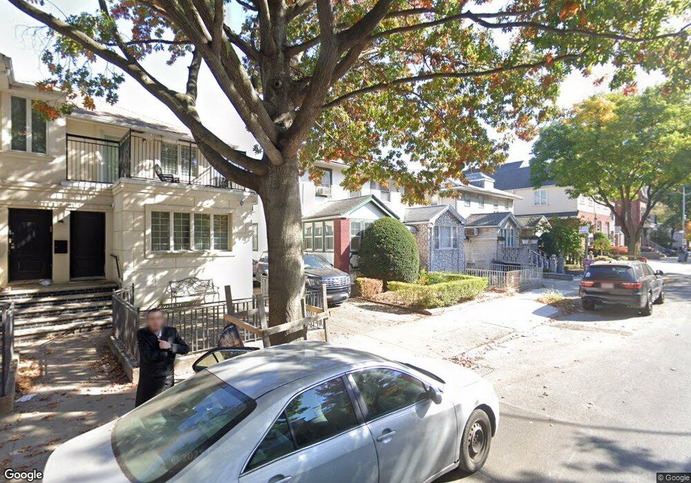
1731 48th St Brooklyn, NY 11204
Borough Park NeighborhoodEstimated Value: $1,311,000 - $2,031,385
Studio
--
Bath
1,328
Sq Ft
$1,239/Sq Ft
Est. Value
About This Home
This home is located at 1731 48th St, Brooklyn, NY 11204 and is currently estimated at $1,644,846, approximately $1,238 per square foot. 1731 48th St is a home located in Kings County with nearby schools including P.S./I.S. 192 Magnet School For Math And Science Inquiry, I.S. 223 The Montauk, and Franklin Delano Roosevelt High School.
Ownership History
Date
Name
Owned For
Owner Type
Purchase Details
Closed on
Jan 2, 2020
Sold by
1731 48Th Street Residence Trust and Michael Don Campagnone Trustee
Bought by
1731 Realty Llc
Current Estimated Value
Purchase Details
Closed on
Mar 1, 2000
Sold by
Campagnone Helen
Bought by
1731 48Th Street Residen
Purchase Details
Closed on
Nov 4, 1996
Sold by
Campagnone Dominic
Bought by
Campagnone Helen
Create a Home Valuation Report for This Property
The Home Valuation Report is an in-depth analysis detailing your home's value as well as a comparison with similar homes in the area
Home Values in the Area
Average Home Value in this Area
Purchase History
| Date | Buyer | Sale Price | Title Company |
|---|---|---|---|
| 1731 Realty Llc | $850,000 | -- | |
| 1731 Realty Llc | $850,000 | -- | |
| 1731 Realty Llc | $850,000 | -- | |
| 1731 48Th Street Residen | -- | -- | |
| 1731 48Th Street Residen | -- | -- | |
| Campagnone Helen | -- | First American Title Ins Co | |
| Campagnone Helen | -- | First American Title Ins Co |
Source: Public Records
Tax History
| Year | Tax Paid | Tax Assessment Tax Assessment Total Assessment is a certain percentage of the fair market value that is determined by local assessors to be the total taxable value of land and additions on the property. | Land | Improvement |
|---|---|---|---|---|
| 2025 | $8,808 | $68,640 | $20,760 | $47,880 |
| 2024 | $8,808 | $80,760 | $20,760 | $60,000 |
| 2023 | $8,470 | $71,100 | $20,760 | $50,340 |
| 2022 | $7,896 | $57,540 | $20,760 | $36,780 |
| 2021 | $7,872 | $52,320 | $20,760 | $31,560 |
| 2019 | $7,645 | $59,040 | $20,760 | $38,280 |
| 2018 | $7,085 | $34,754 | $9,130 | $25,624 |
| 2017 | $6,719 | $32,962 | $12,343 | $20,619 |
| 2016 | $6,231 | $31,170 | $11,234 | $19,936 |
| 2015 | $3,751 | $31,150 | $16,867 | $14,283 |
| 2014 | $3,751 | $30,456 | $15,592 | $14,864 |
Source: Public Records
Map
Nearby Homes
- 943 McDonald Ave
- 1692 52nd St
- 819 McDonald Ave
- 821 McDonald Ave
- 1768 55th St
- 1772 55th St
- 1129 McDonald Ave
- 1026 E 2nd St
- 414 Elmwood Ave Unit 6H
- 414 Elmwood Ave Unit 4C
- 414 Elmwood Ave Unit 5A
- 414 Elmwood Ave Unit 2D
- 755 McDonald Ave
- 770 Ocean Pkwy Unit 6J
- 770 Ocean Pkwy Unit 6F
- 751 McDonald Ave
- 702 Ocean Pkwy Unit 1B
- 800 Ocean Pkwy Unit 4P
- 800 Ocean Pkwy Unit 5N
- 820 Ocean Pkwy Unit 404
Your Personal Tour Guide
Ask me questions while you tour the home.