1731 Cedar Crest Rd Bound Brook, NJ 08805
Estimated Value: $728,726 - $795,000
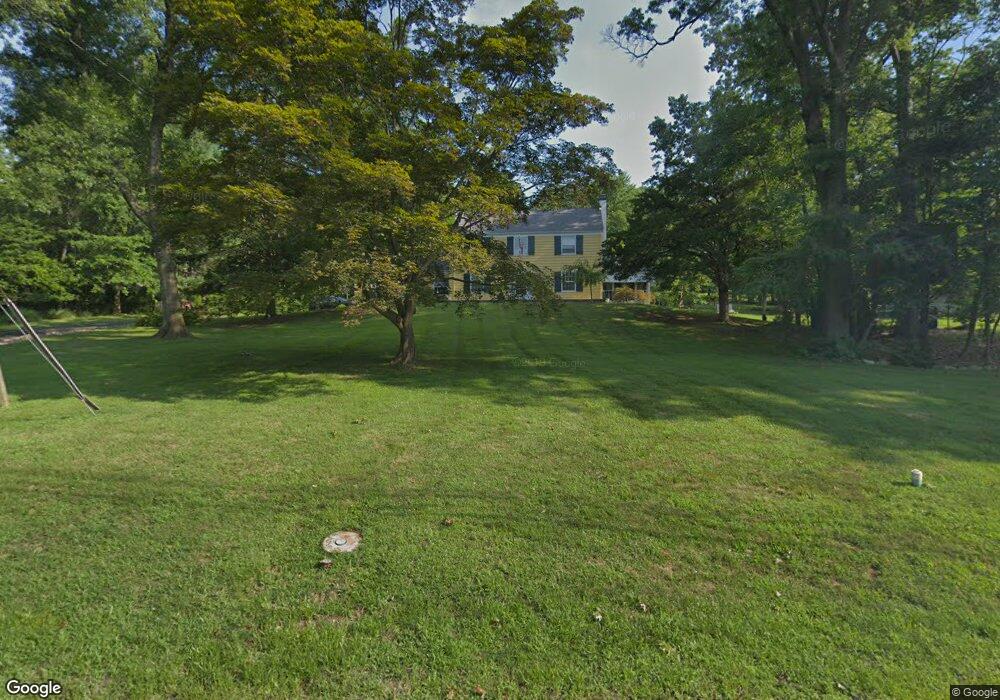
About This Home
This home is located at 1731 Cedar Crest Rd, Bound Brook, NJ 08805 and is currently estimated at $748,182, approximately $325 per square foot. 1731 Cedar Crest Rd is a home located in Somerset County with nearby schools including Crim Primary School, Bridgewater-Raritan Middle School, and Hillside Intermediate School.
Ownership History
We collect this data history from publicly available records. To have your information removed, we recommend requesting removal directly through your county’s website.
Purchase Details
Home Financials for this Owner
Home Financials are based on the most recent Mortgage that was taken out on this home.Home Values in the Area
Average Home Value in this Area
Purchase History
We collect this data history from publicly available records. To have your information removed, we recommend requesting removal directly through your county’s website.
| Date | Buyer | Sale Price | Title Company |
|---|---|---|---|
| $248,000 | -- |
Mortgage History
We collect this data history from publicly available records. To have your information removed, we recommend requesting removal directly through your county’s website.
| Date | Status | Borrower | Loan Amount |
|---|---|---|---|
| Open | $207,000 |
Tax History
We collect this data history from publicly available records. To have your information removed, we recommend requesting removal directly through your county’s website.
| Year | Tax Paid | Tax Assessment Tax Assessment Total Assessment is a certain percentage of the fair market value that is determined by local assessors to be the total taxable value of land and additions on the property. | Land | Improvement |
|---|---|---|---|---|
| 2025 | $11,916 | $619,100 | $297,400 | $321,700 |
| 2024 | $11,916 | $611,700 | $297,400 | $314,300 |
| 2023 | $11,279 | $568,500 | $297,400 | $271,100 |
| 2022 | $10,809 | $524,200 | $297,400 | $226,800 |
| 2021 | $10,636 | $508,100 | $297,400 | $210,700 |
| 2020 | $10,624 | $505,200 | $297,400 | $207,800 |
| 2019 | $10,636 | $501,000 | $297,400 | $203,600 |
| 2018 | $10,520 | $496,700 | $297,400 | $199,300 |
| 2017 | $10,471 | $493,900 | $297,400 | $196,500 |
| 2016 | $10,296 | $493,100 | $297,400 | $195,700 |
| 2015 | $10,064 | $482,200 | $297,400 | $184,800 |
| 2014 | $9,783 | $461,700 | $297,400 | $164,300 |
Map
- 65 Shady Ln
- 705 Schoolhouse Ln
- 280 Metape Cir S
- 815 Miller Ln
- 617 Vosseller Ave
- 561 Marion St
- 553 Marion St
- 44 Hillcrest Rd
- 551 Winsor St
- 8 Waldron Dr
- 322 Stratford Place
- 213 Stratford Place
- 210 Stratford Place Unit 210
- 318 Stratford Place Unit 318
- 811 Mountain Ave
- 815 Mountain Ave
- 520 Winsor St
- 418 Stratford Place
- 153 W Union Ave
- 732 Park Ave
- 1730 Middlebrook Rd
- 1730 Cedar Crest Rd
- 1721 Cedar Crest Rd
- 1720 Middlebrook Rd
- 1741 Cedar Crest Rd
- 1735 Middlebrook Rd
- 1740 Cedar Crest Rd
- 1726 Cedar Crest Rd
- 1741 Middlebrook Rd
- 1750 Middlebrook Rd
- 1715 Cedar Crest Rd
- 1731 Middlebrook Rd
- 1710 Middlebrook Rd
- 1710 Cedar Crest Rd
- 1750 Cedar Crest Rd
- 1756 Middlebrook Rd
- 57 Shady Ln
- 59 Shady Ln
- 14 Hillcrest Rd
- 1711 Middlebrook Rd
Ask me questions while you tour the home.