1731 Keeteman Rd Winfield, MO 63389
Estimated Value: $253,000
4
Beds
2
Baths
3,023
Sq Ft
$84/Sq Ft
Est. Value
About This Home
This home is located at 1731 Keeteman Rd, Winfield, MO 63389 and is currently estimated at $253,000, approximately $83 per square foot. 1731 Keeteman Rd is a home with nearby schools including Winfield Primary School, Winfield Intermediate School, and Winfield Middle School.
Ownership History
Date
Name
Owned For
Owner Type
Purchase Details
Closed on
Jun 19, 2018
Sold by
Bugg Andrea J and Bugg Timothy A
Bought by
Kimaterials Inc
Current Estimated Value
Purchase Details
Closed on
Nov 24, 2015
Sold by
Randall Arthur L and Randall Brenda G
Bought by
Bugg Andrea J and Bugg Timothy A
Home Financials for this Owner
Home Financials are based on the most recent Mortgage that was taken out on this home.
Original Mortgage
$150,000
Interest Rate
3.81%
Mortgage Type
Future Advance Clause Open End Mortgage
Create a Home Valuation Report for This Property
The Home Valuation Report is an in-depth analysis detailing your home's value as well as a comparison with similar homes in the area
Purchase History
| Date | Buyer | Sale Price | Title Company |
|---|---|---|---|
| Kimaterials Inc | -- | Pike County Title | |
| Bugg Andrea J | -- | None Available |
Source: Public Records
Mortgage History
| Date | Status | Borrower | Loan Amount |
|---|---|---|---|
| Previous Owner | Bugg Andrea J | $150,000 |
Source: Public Records
Tax History
| Year | Tax Paid | Tax Assessment Tax Assessment Total Assessment is a certain percentage of the fair market value that is determined by local assessors to be the total taxable value of land and additions on the property. | Land | Improvement |
|---|---|---|---|---|
| 2025 | $217 | $0 | $0 | $0 |
| 2024 | $217 | $0 | $0 | $0 |
| 2023 | $265 | $1,623 | $0 | $0 |
| 2022 | $1,460 | $1,570 | $758 | $812 |
| 2021 | $87 | $1,570 | $0 | $0 |
| 2020 | $409 | $38,360 | $0 | $0 |
| 2019 | $1,209 | $230,940 | $0 | $0 |
| 2018 | $2,218 | $38,904 | $0 | $0 |
| 2017 | $2,225 | $38,904 | $0 | $0 |
| 2016 | $2,024 | $34,555 | $0 | $0 |
| 2015 | $2,033 | $34,555 | $0 | $0 |
| 2014 | $2,032 | $34,920 | $0 | $0 |
| 2013 | -- | $34,719 | $0 | $0 |
Source: Public Records
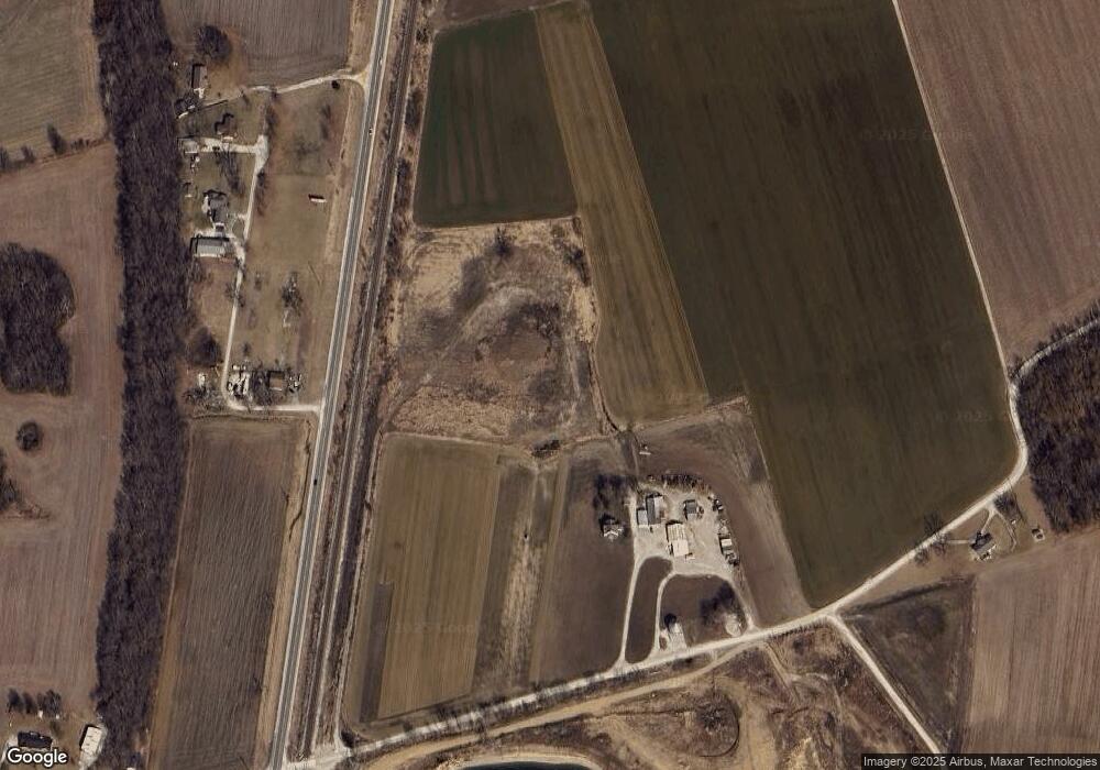
Map
Nearby Homes
- 1585 S Highway 79
- Lot #21 West Ave
- 25 Owls Rest Ct
- 212 Old Troy Rd
- 220 Kitson Rd
- 44 Great Owls Way
- 202 2nd St
- 72 Justus Ln
- 25 Rolfes Ln
- 523 Saint John Ln
- 350 Birkhead Rd
- 671 Birkhead Rd
- 00 Pillsbury Rd
- 485 Pillsbury Rd
- 0 Pillsbury Rd
- 40+/- Pieper Rd
- 2140 Flatwoods Rd
- 251 Autumn Hallow Ct
- 250 Autumn Hallow Ct
- 40+/- Acres Pieper Rd
- 1705 Keeteman Rd
- 94 Fort Howard Acres
- 90 Fort Howard Acres
- 45 Fort Howard Acres
- 31 Fort Howard Acres
- 1628 Keeteman Rd
- 1585 Missouri 79
- 1585 S Highway 79
- 1763 S Highway 79
- 16 Brevator Rd
- 48 Schulte Ln
- 28 Brevator Rd
- 45 Brevator Rd
- 147 Westoff Farm Rd
- 0 130 + -Acres Hwy 79
- 1451 S Highway 79
- 1835 S Highway 79
- 75 Windy Knoll Ln
- 98 Dickmeyer Ln
- 24 Wehde Ln
Your Personal Tour Guide
Ask me questions while you tour the home.