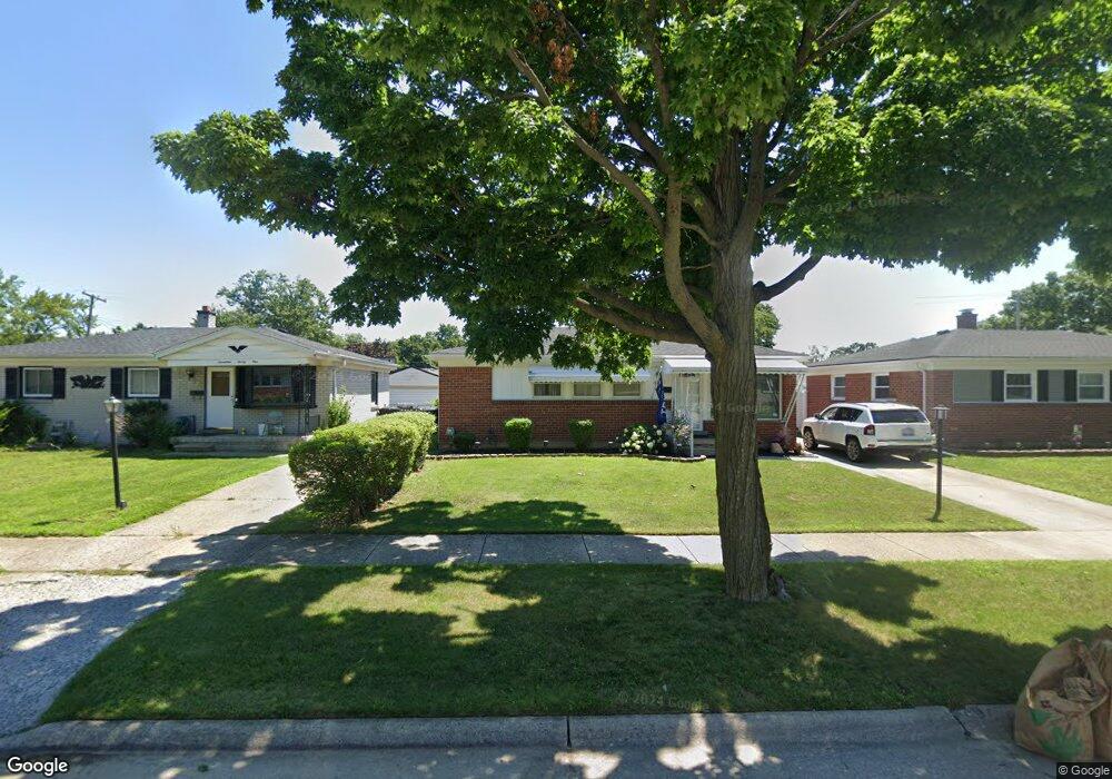
1731 Leslie St Unit Bldg-Unit Westland, MI 48186
Estimated Value: $192,927 - $212,000
--
Bed
1
Bath
950
Sq Ft
$212/Sq Ft
Est. Value
About This Home
This home is located at 1731 Leslie St Unit Bldg-Unit, Westland, MI 48186 and is currently estimated at $200,982, approximately $211 per square foot. 1731 Leslie St Unit Bldg-Unit is a home located in Wayne County with nearby schools including Alexander Hamilton Elementary School, Adams Middle School, and Benjamin Franklin Middle School.
Ownership History
Date
Name
Owned For
Owner Type
Purchase Details
Closed on
Feb 24, 2020
Sold by
Michigan State Housing Dev Authority
Bought by
Royer Brandon
Current Estimated Value
Home Financials for this Owner
Home Financials are based on the most recent Mortgage that was taken out on this home.
Original Mortgage
$127,645
Outstanding Balance
$113,048
Interest Rate
3.5%
Mortgage Type
FHA
Estimated Equity
$87,934
Purchase Details
Closed on
Aug 15, 2019
Sold by
Bourdeau Stephen
Bought by
Michigan State Housing Dev Authority
Purchase Details
Closed on
Feb 23, 2018
Sold by
Bae Enterprises Llc
Bought by
Bourdeau Stephen
Purchase Details
Closed on
May 8, 2017
Sold by
Cynthia Duplessis Cynthia Anne and Cynthia Brindsen
Bought by
Bae Enterprises Llc
Purchase Details
Closed on
Apr 17, 2013
Sold by
Marmul Delores and Howell Terry Ann
Bought by
Brinsden Cynthia
Create a Home Valuation Report for This Property
The Home Valuation Report is an in-depth analysis detailing your home's value as well as a comparison with similar homes in the area
Home Values in the Area
Average Home Value in this Area
Purchase History
| Date | Buyer | Sale Price | Title Company |
|---|---|---|---|
| Royer Brandon | $130,000 | Minnesota Title Agency | |
| Michigan State Housing Dev Authority | $108,375 | None Available | |
| Bourdeau Stephen | $125,000 | Leading Eagle Title Agency | |
| Bae Enterprises Llc | $75,000 | None Available | |
| Brinsden Cynthia | $64,900 | Liberty Title |
Source: Public Records
Mortgage History
| Date | Status | Borrower | Loan Amount |
|---|---|---|---|
| Open | Royer Brandon | $127,645 |
Source: Public Records
Tax History Compared to Growth
Tax History
| Year | Tax Paid | Tax Assessment Tax Assessment Total Assessment is a certain percentage of the fair market value that is determined by local assessors to be the total taxable value of land and additions on the property. | Land | Improvement |
|---|---|---|---|---|
| 2025 | $2,677 | $77,600 | $0 | $0 |
| 2024 | $2,677 | $75,000 | $0 | $0 |
| 2023 | $2,556 | $67,200 | $0 | $0 |
| 2022 | $2,960 | $59,600 | $0 | $0 |
| 2021 | $2,886 | $56,900 | $0 | $0 |
| 2020 | $2,405 | $47,000 | $0 | $0 |
| 2019 | $2,142 | $42,600 | $0 | $0 |
| 2018 | $1,466 | $37,500 | $0 | $0 |
| 2017 | $2,162 | $36,800 | $0 | $0 |
| 2016 | $1,626 | $36,200 | $0 | $0 |
| 2015 | $3,121 | $34,650 | $0 | $0 |
| 2013 | $3,264 | $32,640 | $0 | $0 |
| 2012 | $1,606 | $33,470 | $0 | $0 |
Source: Public Records
Map
Nearby Homes
- 1681 Stieber St
- 1645 Regene St
- 1858 Stieber St Unit 5
- 1631 Ackley Ave
- 1909 S Christine
- 2722 Ackley Ave
- 34553 Hazelwood St
- 2012 Dryden St
- 2017 Eastport St
- 32730 Palmer Rd
- 35130 June Dr
- 2304 2nd St
- 34465 Fairchild St
- 2314 S Christine
- 2316 Deerfield Ct
- 2420 Ackley Ave
- 2204 Ellsworth St
- 35236 Glen St
- 1811 S Harvey Ave
- 2335 Deerfield Ct
- 1731 Leslie St
- 1721 Leslie St
- 1741 Leslie St
- 1711 Leslie St
- 1751 Leslie St
- 1730 Stieber St
- 1740 Stieber St
- 1720 Stieber St
- 1701 Leslie St
- 1761 Leslie St
- 1710 Stieber St
- 1750 Stieber St
- 1730 Leslie St
- 1740 Leslie St
- 1700 Stieber St
- 1760 Stieber St
- 1665 Leslie St
- 1710 Leslie St
- 1771 Leslie St
- 1750 Leslie St