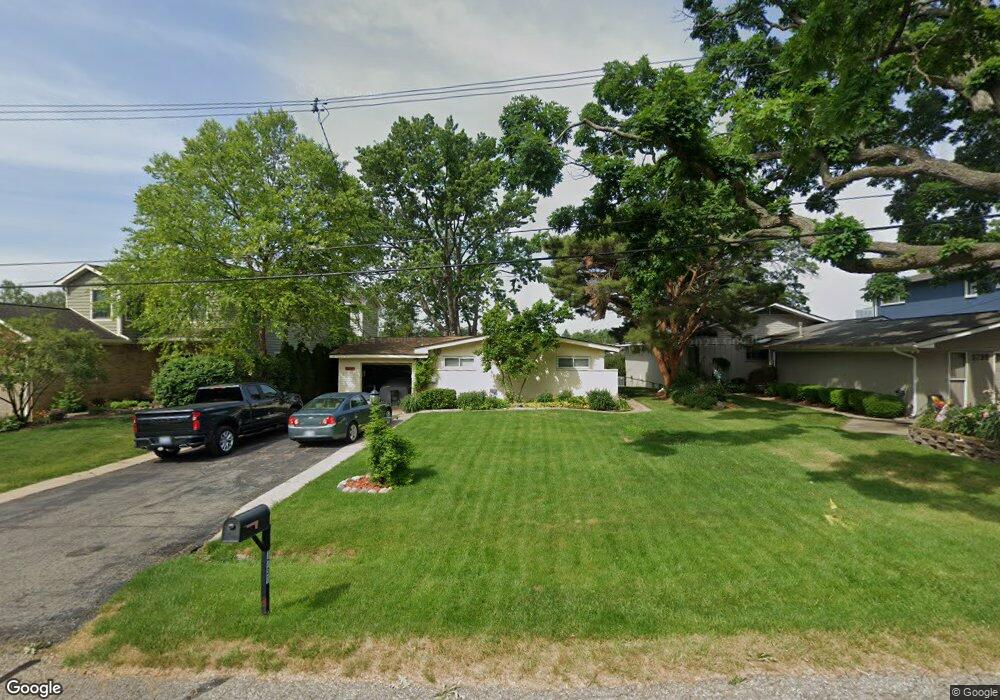
1731 Shankin Dr Wolverine Lake, MI 48390
Estimated Value: $564,352 - $665,000
3
Beds
2
Baths
1,860
Sq Ft
$327/Sq Ft
Est. Value
About This Home
This home is located at 1731 Shankin Dr, Wolverine Lake, MI 48390 and is currently estimated at $609,088, approximately $327 per square foot. 1731 Shankin Dr is a home located in Oakland County with nearby schools including Mary Helen Guest Elementary School, James R Geisler Middle School, and Walled Lake Central High School.
Ownership History
Date
Name
Owned For
Owner Type
Purchase Details
Closed on
Dec 12, 2022
Sold by
Macdonald Darryl and Macdonald Deborah
Bought by
Macdonald Family Trust
Current Estimated Value
Purchase Details
Closed on
Sep 12, 2002
Sold by
Hasley Andrew D
Bought by
Macdonald Darryl
Home Financials for this Owner
Home Financials are based on the most recent Mortgage that was taken out on this home.
Original Mortgage
$237,400
Interest Rate
6.24%
Create a Home Valuation Report for This Property
The Home Valuation Report is an in-depth analysis detailing your home's value as well as a comparison with similar homes in the area
Home Values in the Area
Average Home Value in this Area
Purchase History
| Date | Buyer | Sale Price | Title Company |
|---|---|---|---|
| Macdonald Family Trust | -- | Land Title | |
| Macdonald Darryl | $349,900 | -- |
Source: Public Records
Mortgage History
| Date | Status | Borrower | Loan Amount |
|---|---|---|---|
| Previous Owner | Macdonald Darryl | $237,400 |
Source: Public Records
Tax History Compared to Growth
Tax History
| Year | Tax Paid | Tax Assessment Tax Assessment Total Assessment is a certain percentage of the fair market value that is determined by local assessors to be the total taxable value of land and additions on the property. | Land | Improvement |
|---|---|---|---|---|
| 2024 | $4,777 | $251,900 | $0 | $0 |
| 2023 | $4,531 | $235,700 | $0 | $0 |
| 2022 | $5,406 | $215,650 | $0 | $0 |
| 2021 | $5,295 | $208,150 | $0 | $0 |
| 2020 | $4,531 | $203,890 | $0 | $0 |
| 2019 | $3,598 | $189,570 | $0 | $0 |
| 2018 | $5,220 | $176,730 | $0 | $0 |
| 2017 | $5,154 | $176,730 | $0 | $0 |
| 2016 | $5,105 | $167,840 | $0 | $0 |
| 2015 | -- | $158,630 | $0 | $0 |
| 2014 | -- | $141,710 | $0 | $0 |
| 2011 | -- | $116,680 | $0 | $0 |
Source: Public Records
Map
Nearby Homes
- 1747 Shankin Dr
- 1439 Shankin Dr
- 2160 Newport Ct
- 688 Wolverine Dr
- 1442 Sunset Dr
- 2145 Helmsford Dr
- 2159 Helmsford Dr
- 770 Brushwood Dr
- 1128 Annjo St
- 853 Adelaide Dr
- 275 Angola St
- 2323 Solano Dr
- 826 Wolverine Dr
- 2230 Briar Ridge
- 2130 Park Place Dr
- 2144 Park Place Dr
- 1588 Ladd Rd
- 1687 Bolton St
- 1569 Dover Hill N
- 2450 S Commerce Rd
- 1739 Shankin Dr
- 1723 Shankin Dr
- 1715 Shankin Dr
- 1801 Shankin Dr
- 1707 Shankin Dr
- 1805 Shankin Dr
- 1730 Shankin Dr
- 1746 Shankin Dr
- 1722 Shankin Dr
- 1738 Shankin Dr
- 1813 Shankin Dr
- 1649 Shankin Dr
- 1800 Shankin Dr
- 1714 Shankin Dr
- 234 Wanda St
- 1821 Shankin Dr
- 1635 Shankin Dr
- 1629 Shankin Dr
- 1837 Shankin Dr
- 220 Wanda St