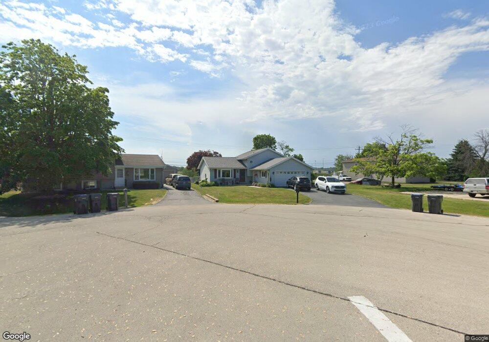
1731 Stoddard Cir Mount Pleasant, WI 53406
Estimated Value: $251,000 - $302,000
3
Beds
2
Baths
1,012
Sq Ft
$274/Sq Ft
Est. Value
About This Home
This home is located at 1731 Stoddard Cir, Mount Pleasant, WI 53406 and is currently estimated at $277,631, approximately $274 per square foot. 1731 Stoddard Cir is a home located in Racine County with nearby schools including West Ridge Elementary School, Mitchell Middle School, and Case High School.
Ownership History
Date
Name
Owned For
Owner Type
Purchase Details
Closed on
Feb 14, 2022
Sold by
Brown Richard D and Brown Cheryle P
Bought by
Brown Richard D and Brown Cheryl P
Current Estimated Value
Home Financials for this Owner
Home Financials are based on the most recent Mortgage that was taken out on this home.
Original Mortgage
$180,000
Interest Rate
3.55%
Mortgage Type
VA
Create a Home Valuation Report for This Property
The Home Valuation Report is an in-depth analysis detailing your home's value as well as a comparison with similar homes in the area
Home Values in the Area
Average Home Value in this Area
Purchase History
| Date | Buyer | Sale Price | Title Company |
|---|---|---|---|
| Brown Richard D | -- | Rosenberg Lpa Llc |
Source: Public Records
Mortgage History
| Date | Status | Borrower | Loan Amount |
|---|---|---|---|
| Previous Owner | Brown Richard D | $180,000 |
Source: Public Records
Tax History
| Year | Tax Paid | Tax Assessment Tax Assessment Total Assessment is a certain percentage of the fair market value that is determined by local assessors to be the total taxable value of land and additions on the property. | Land | Improvement |
|---|---|---|---|---|
| 2025 | $4,246 | $275,800 | $47,900 | $227,900 |
| 2024 | $3,975 | $258,600 | $47,900 | $210,700 |
| 2023 | $3,341 | $214,800 | $44,800 | $170,000 |
| 2022 | $3,218 | $203,700 | $44,800 | $158,900 |
| 2021 | $3,276 | $185,600 | $40,700 | $144,900 |
| 2020 | $3,278 | $178,000 | $33,200 | $144,800 |
| 2019 | $3,114 | $178,000 | $33,200 | $144,800 |
| 2018 | $2,896 | $153,900 | $34,100 | $119,800 |
| 2017 | $2,734 | $142,000 | $34,100 | $107,900 |
| 2016 | $2,669 | $131,000 | $29,700 | $101,300 |
| 2015 | $2,627 | $131,000 | $29,700 | $101,300 |
| 2014 | $2,482 | $131,000 | $29,700 | $101,300 |
| 2013 | $2,654 | $131,000 | $29,700 | $101,300 |
Source: Public Records
Map
Nearby Homes
- Lt0 Oakes Rd
- 1429 Oakes Rd Unit 7
- 6335 Washington Ave
- Lt0 Mariner Dr
- 1131 S Sunnyslope Dr Unit 4U
- 6805 Ranger Dr
- 910 Century Way
- 7220 Mariner Dr Unit 8
- 838 Boulder Trail Unit 205
- 6520 Mariner Dr Unit 204
- 6351 Kinzie Ave
- 914 S Stuart Rd
- 1451 Pheasant Run Dr Unit 101
- Lt0 Stuart Rd
- 6331 Kingsview Dr
- Lt0 National Ave
- 5509 Hilldale Dr
- 6244 Partridge Hills Dr
- 522 Calvin Ln
- 5302 Athens Ave
- 1727 Stoddard Cir
- 1721 Warwick Way Unit 1721
- 1721 Stoddard Cir
- 1715 Stoddard Cir
- 1701 Stoddard Cir
- 1656 Stoddard Ln
- 1740 Warwick Way
- 1732 Warwick Way
- 1709 Warwick Way Unit 1709
- 1649 Stoddard Ln
- 1650 Stoddard Ln
- 1724 Warwick Way
- 1646 Stoddard Ln
- 1643 Stoddard Ln
- 1748 Wiese Ln
- 1701 Warwick Way
- 1639 Stoddard Ln
- 1716 Warwick Way
- 1642 Stoddard Ln
- 1647 Kuiper Ln
Your Personal Tour Guide
Ask me questions while you tour the home.