17312 Grace Rd Hampstead, MD 21074
Estimated Value: $467,791 - $571,000
--
Bed
2
Baths
1,472
Sq Ft
$354/Sq Ft
Est. Value
About This Home
This home is located at 17312 Grace Rd, Hampstead, MD 21074 and is currently estimated at $520,698, approximately $353 per square foot. 17312 Grace Rd is a home located in Baltimore County with nearby schools including Fifth District Elementary School, Hereford Middle School, and Hereford High School.
Ownership History
Date
Name
Owned For
Owner Type
Purchase Details
Closed on
Dec 4, 2002
Sold by
Shell Steven H
Bought by
Shell Steven H
Current Estimated Value
Purchase Details
Closed on
Jan 11, 1994
Sold by
Biscotti Matthew G
Bought by
Shell Steven H
Home Financials for this Owner
Home Financials are based on the most recent Mortgage that was taken out on this home.
Original Mortgage
$166,250
Interest Rate
7.23%
Purchase Details
Closed on
Apr 8, 1987
Sold by
Nelson David A
Bought by
Biscotti Matthew G
Create a Home Valuation Report for This Property
The Home Valuation Report is an in-depth analysis detailing your home's value as well as a comparison with similar homes in the area
Home Values in the Area
Average Home Value in this Area
Purchase History
| Date | Buyer | Sale Price | Title Company |
|---|---|---|---|
| Shell Steven H | -- | -- | |
| Shell Steven H | $175,000 | -- | |
| Biscotti Matthew G | $147,000 | -- |
Source: Public Records
Mortgage History
| Date | Status | Borrower | Loan Amount |
|---|---|---|---|
| Previous Owner | Shell Steven H | $166,250 |
Source: Public Records
Tax History Compared to Growth
Tax History
| Year | Tax Paid | Tax Assessment Tax Assessment Total Assessment is a certain percentage of the fair market value that is determined by local assessors to be the total taxable value of land and additions on the property. | Land | Improvement |
|---|---|---|---|---|
| 2025 | $4,648 | $415,500 | $135,800 | $279,700 |
| 2024 | $4,648 | $393,767 | $0 | $0 |
| 2023 | $2,242 | $372,033 | $0 | $0 |
| 2022 | $4,267 | $350,300 | $117,300 | $233,000 |
| 2021 | $4,038 | $339,267 | $0 | $0 |
| 2020 | $4,038 | $328,233 | $0 | $0 |
| 2019 | $3,904 | $317,200 | $117,300 | $199,900 |
| 2018 | $3,840 | $311,900 | $0 | $0 |
| 2017 | $3,742 | $306,600 | $0 | $0 |
| 2016 | $3,219 | $301,300 | $0 | $0 |
| 2015 | $3,219 | $301,300 | $0 | $0 |
| 2014 | $3,219 | $301,300 | $0 | $0 |
Source: Public Records
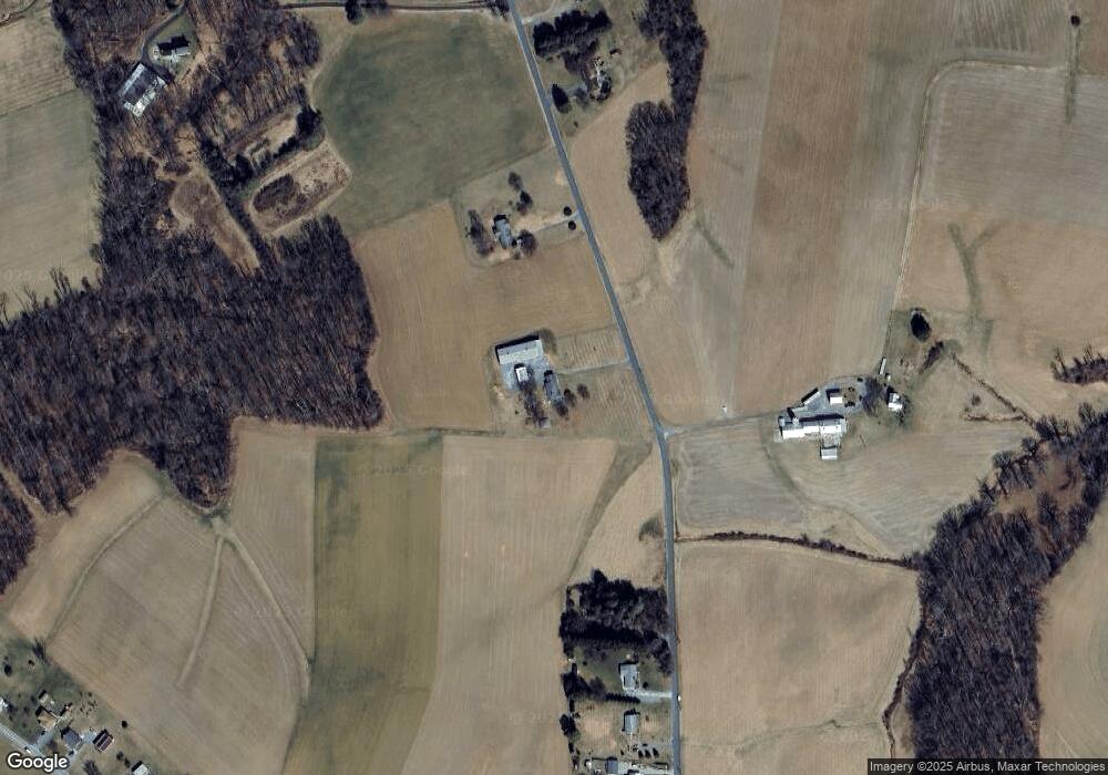
Map
Nearby Homes
- 1124 Cedarbrook Rd
- 1208 Wynside Ln
- 4703 Barbed Ct
- 1003 Scarlet Oak Ct Unit 1A
- 0 Trenton Mill Rd Unit MDBC2117946
- 16535 Trenton Rd
- 613 Hanover Pike
- 4100 Black Rock Rd
- 16742 Ridge Rd
- 4240 Crystal Ct Unit 3D
- 4230 Crystal Ct Unit 3C
- 18310 Upper Beckleysville Rd
- 16338 Trenton Rd
- 16357 Trenton Rd
- 4138 Hillcrest Ave
- 4819 Westfield Dr
- 4150 Sommerfield Dr
- 920 N Houcksville Rd
- 1330 N Main St
- 0 Hanover Pike Unit MDCR2024542
- 17316 Grace Rd
- 17224 Grace Rd
- 17415 Grace Rd
- 17222 Grace Rd
- 17220 Grace Rd
- 17218 Grace Rd
- 17427 Grace Rd
- 17420 Grace Rd
- 17212 Grace Rd
- 17212 Grace Rd
- 17433 Grace Rd
- 4824 Black Rock Rd
- 4826 Black Rock Rd
- 4822 Black Rock Rd
- 4828 Black Rock Rd
- 4830 Black Rock Rd
- 4701 Black Rock Rd
- 4900 Black Rock Rd
- 17503 Grace Rd
- 4711 Black Rock Rd