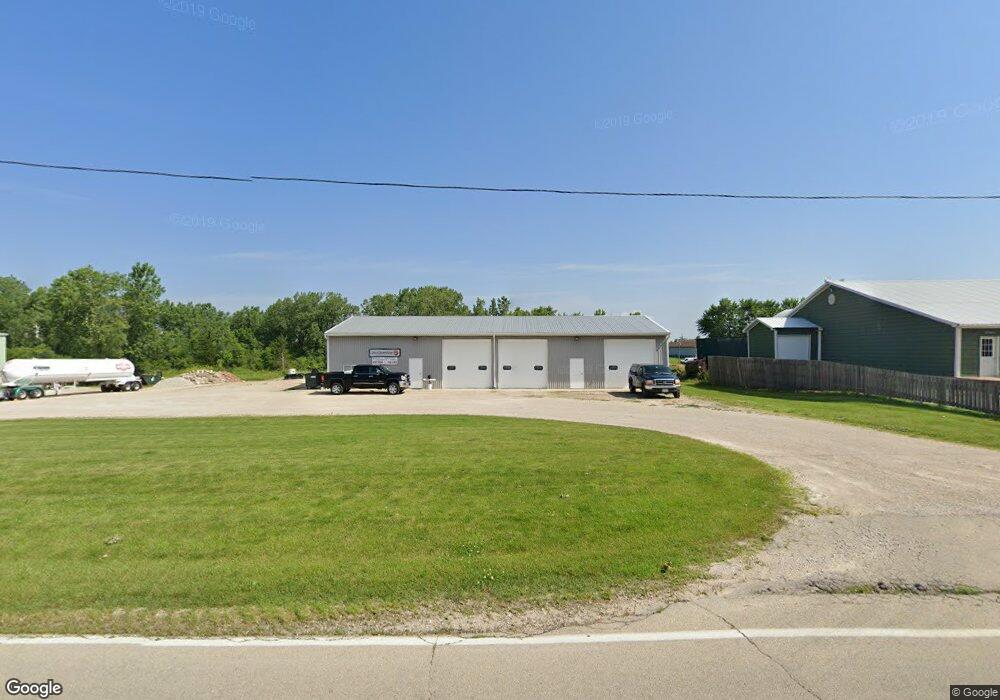
17313 Griswold Springs Rd Sandwich, IL 60548
Estimated Value: $369,709
--
Bed
--
Bath
3,570
Sq Ft
$104/Sq Ft
Est. Value
About This Home
This home is located at 17313 Griswold Springs Rd, Sandwich, IL 60548 and is currently estimated at $369,709, approximately $103 per square foot. 17313 Griswold Springs Rd is a home located in Kendall County with nearby schools including Sandwich Community High School.
Ownership History
Date
Name
Owned For
Owner Type
Purchase Details
Closed on
Sep 24, 2021
Sold by
Jon Hanson
Bought by
Munson Property Group Llc
Current Estimated Value
Home Financials for this Owner
Home Financials are based on the most recent Mortgage that was taken out on this home.
Original Mortgage
$280,000
Interest Rate
3.22%
Mortgage Type
Seller Take Back
Create a Home Valuation Report for This Property
The Home Valuation Report is an in-depth analysis detailing your home's value as well as a comparison with similar homes in the area
Home Values in the Area
Average Home Value in this Area
Purchase History
| Date | Buyer | Sale Price | Title Company |
|---|---|---|---|
| Munson Property Group Llc | $280,000 | Campbell Law Group Ltd |
Source: Public Records
Mortgage History
| Date | Status | Borrower | Loan Amount |
|---|---|---|---|
| Previous Owner | Munson Property Group Llc | $280,000 |
Source: Public Records
Tax History Compared to Growth
Tax History
| Year | Tax Paid | Tax Assessment Tax Assessment Total Assessment is a certain percentage of the fair market value that is determined by local assessors to be the total taxable value of land and additions on the property. | Land | Improvement |
|---|---|---|---|---|
| 2024 | $6,111 | $79,874 | $32,286 | $47,588 |
| 2023 | $6,029 | $76,071 | $30,749 | $45,322 |
| 2022 | $6,029 | $73,287 | $29,285 | $44,002 |
| 2021 | $5,232 | $62,934 | $28,711 | $34,223 |
| 2020 | $5,091 | $59,937 | $27,344 | $32,593 |
| 2019 | $4,980 | $57,083 | $26,042 | $31,041 |
| 2018 | $4,803 | $54,365 | $24,802 | $29,563 |
| 2017 | $4,754 | $51,776 | $23,621 | $28,155 |
| 2016 | $4,755 | $48,932 | $22,496 | $26,436 |
| 2015 | $4,734 | $46,602 | $21,425 | $25,177 |
| 2014 | -- | $42,460 | $21,425 | $21,035 |
| 2013 | -- | $43,330 | $21,864 | $21,466 |
Source: Public Records
Map
Nearby Homes
- Lot 3 Indian Springs Dr
- Lot 2 Indian Springs Dr
- 112 Kees Ln
- 1320 E Arnold St Unit 3
- 1267 Red Fox Cir
- 1227 Red Fox Cir
- 16323 Griswold Springs Rd
- 171 Woodland Dr
- 1245 Daniel Ln
- 38 Lynwood Dr
- 3810 Drew Ave
- 1337 Deer Run Trail
- 3825 Drew Ave
- 3860 Drew Ave
- 17551 Frazier Rd
- 309 E 3rd St
- 608 Bender St
- 322 N Eddy St
- 1188 Cindy Ln
- 213 N Main St
- 2295 Griswold Springs Rd
- 2301 Griswold Springs Rd
- 2300 E Church St Unit TWO
- 2421 Griswold Springs Rd Unit A
- 2421 W Griswold Sp Rd
- 220 Indian Springs Dr
- Lot 1 Indian Springs Dr
- 142 Indian Springs Dr Unit B
- 132 Indian Springs Dr
- 132 Indian Springs Dr Unit 8-9A-9B
- 0 Indian Springs Dr
- 0 Indian Springs Dr Unit 8403418
- 122 Indian Springs Dr Unit 1
- 122 Indian Springs Dr Unit A
- 122 Indian Springs Dr
- 17132 Griswold Springs Rd
- 000 Sandy Bluff Rd
- 16953 Griswold Springs Rd
- 17850 Griswold Springs Rd
- 103 Kees Ln