1732 County Highway Pb Verona, WI 53593
Estimated Value: $579,000 - $620,153
--
Bed
2
Baths
--
Sq Ft
7.16
Acres
About This Home
This home is located at 1732 County Highway Pb, Verona, WI 53593 and is currently estimated at $599,038. 1732 County Highway Pb is a home located in Dane County with nearby schools including Country View Elementary School, Savanna Oaks Middle School, and Verona Area High School.
Ownership History
Date
Name
Owned For
Owner Type
Purchase Details
Closed on
Jul 1, 2025
Sold by
Scurlock Jeanne Pelletter and Pelletter Jeanne L
Bought by
Brown Megan Caldwell and Phillips Robert Myron
Current Estimated Value
Home Financials for this Owner
Home Financials are based on the most recent Mortgage that was taken out on this home.
Original Mortgage
$355,200
Outstanding Balance
$354,301
Interest Rate
6.88%
Mortgage Type
New Conventional
Estimated Equity
$244,737
Create a Home Valuation Report for This Property
The Home Valuation Report is an in-depth analysis detailing your home's value as well as a comparison with similar homes in the area
Home Values in the Area
Average Home Value in this Area
Purchase History
| Date | Buyer | Sale Price | Title Company |
|---|---|---|---|
| Brown Megan Caldwell | $592,000 | None Listed On Document |
Source: Public Records
Mortgage History
| Date | Status | Borrower | Loan Amount |
|---|---|---|---|
| Open | Brown Megan Caldwell | $355,200 |
Source: Public Records
Tax History Compared to Growth
Tax History
| Year | Tax Paid | Tax Assessment Tax Assessment Total Assessment is a certain percentage of the fair market value that is determined by local assessors to be the total taxable value of land and additions on the property. | Land | Improvement |
|---|---|---|---|---|
| 2024 | $7,220 | $375,000 | $239,500 | $135,500 |
| 2023 | $6,452 | $375,000 | $239,500 | $135,500 |
| 2021 | $6,591 | $375,000 | $239,500 | $135,500 |
| 2020 | $6,641 | $375,000 | $239,500 | $135,500 |
| 2019 | $6,651 | $375,000 | $239,500 | $135,500 |
| 2018 | $6,422 | $321,900 | $202,000 | $119,900 |
| 2017 | $6,310 | $321,900 | $202,000 | $119,900 |
| 2016 | $5,919 | $321,900 | $202,000 | $119,900 |
| 2015 | $5,862 | $321,900 | $202,000 | $119,900 |
| 2014 | $6,044 | $321,900 | $202,000 | $119,900 |
| 2013 | $6,131 | $321,900 | $202,000 | $119,900 |
Source: Public Records
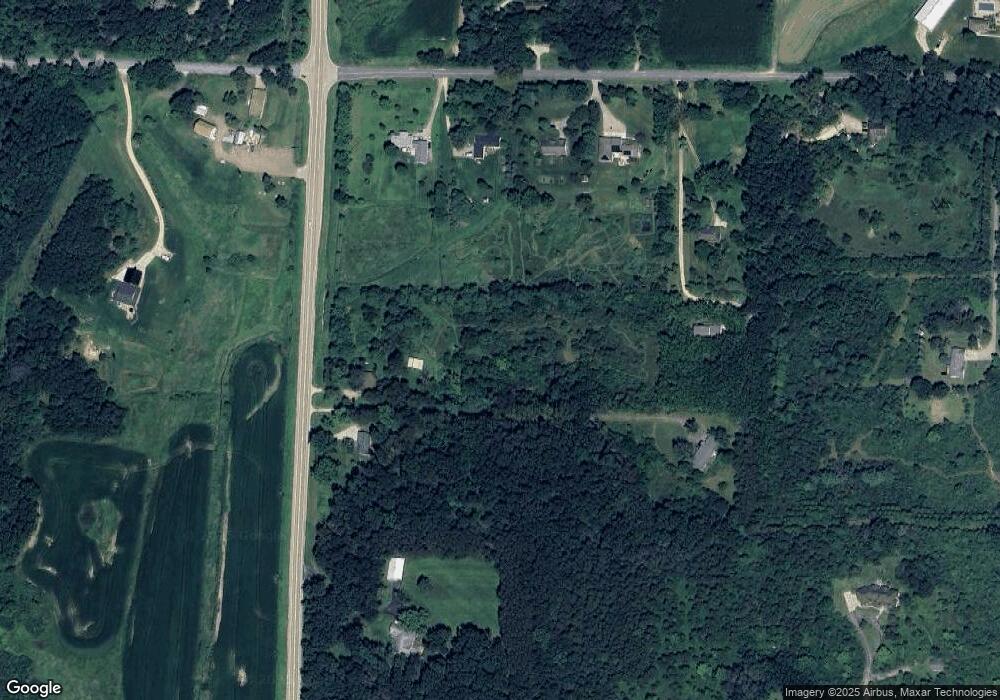
Map
Nearby Homes
- 1741 Black Cherry Ct
- 1245 Merry Blossom Ln
- 1208 Merry Blossom Ln
- 955 Westminster Way
- 0 Riverside Rd Unit 2005389
- 6908 Paoli Rd
- 6435 County Road M
- 1045 Range Trail
- 1299 County Road Pb
- 6500 Shady Bend Rd
- 1980 Manhattan Dr
- 859 Kimball Ln
- 102 Prairie Heights Dr Unit 416
- 657 Thornton Terrace
- 571 S Hillcrest Dr
- 436 Goldenrod Cir Unit 14
- 436 Goldenrod Cir
- 27.72 Ac Valley Rd and Hwy 69 Acres
- 511 Harvest Ln
- 143 Paoli St
- 1716 County Road Pb
- 6697 Sunset Dr
- 6713 Sunset Dr
- 6681 Sunset Dr
- 6725 Sunset Dr
- 1722 County Road Pb
- 6677 Sunset Dr
- 6693 Sunset Dr
- 1694 County Road Pb
- 39 ac Sunset Dr
- 6735 Sunset Dr
- 6700 Sunset Dr
- 30 Ac Sunset Dr
- 6686 Sunset Dr
- 6734 Sunset Dr
- 6645 Sunset Dr
- 6636 Purcell Rd
- 6635 Sunset Dr
- 6660 Purcell Rd
- 6738 Sunset Dr