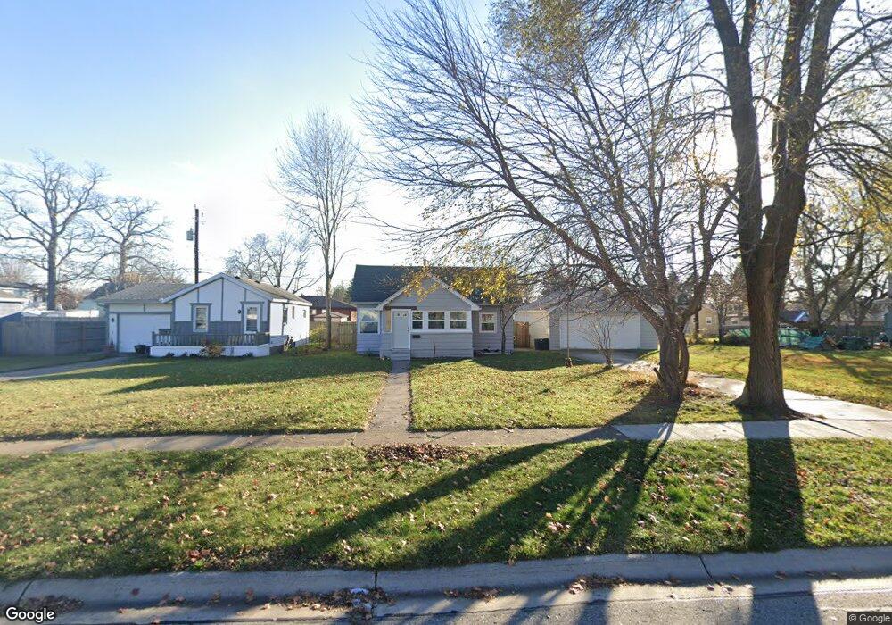
1732 Mcpherson St Port Huron, MI 48060
Estimated Value: $112,000 - $145,000
2
Beds
1
Bath
736
Sq Ft
$178/Sq Ft
Est. Value
About This Home
This home is located at 1732 Mcpherson St, Port Huron, MI 48060 and is currently estimated at $131,058, approximately $178 per square foot. 1732 Mcpherson St is a home located in St. Clair County with nearby schools including H.D. Crull Elementary School, Holland Woods Middle School, and Port Huron Northern High School.
Ownership History
Date
Name
Owned For
Owner Type
Purchase Details
Closed on
Jun 30, 2023
Sold by
Kearns Matthew E
Bought by
Matthew E Kearns And Hira Ahmad-Kearns Revoca and Kearns
Current Estimated Value
Purchase Details
Closed on
Aug 26, 2019
Sold by
Kearns Edward W and Fa Linda
Bought by
Kearns Matthew E
Purchase Details
Closed on
Apr 6, 2017
Sold by
Kearns Edward W and Kearns Linda M
Bought by
Kearns Trust
Purchase Details
Closed on
Jan 3, 2017
Sold by
Kearns Matthew E
Bought by
Kearns Edwards W and Kearns Linda M
Create a Home Valuation Report for This Property
The Home Valuation Report is an in-depth analysis detailing your home's value as well as a comparison with similar homes in the area
Home Values in the Area
Average Home Value in this Area
Purchase History
| Date | Buyer | Sale Price | Title Company |
|---|---|---|---|
| Matthew E Kearns And Hira Ahmad-Kearns Revoca | -- | None Listed On Document | |
| Kearns Matthew E | -- | None Listed On Document | |
| Kearns Trust | -- | -- | |
| Kearns Edwards W | -- | -- |
Source: Public Records
Tax History Compared to Growth
Tax History
| Year | Tax Paid | Tax Assessment Tax Assessment Total Assessment is a certain percentage of the fair market value that is determined by local assessors to be the total taxable value of land and additions on the property. | Land | Improvement |
|---|---|---|---|---|
| 2025 | $1,860 | $54,900 | $0 | $0 |
| 2024 | $1,613 | $51,600 | $0 | $0 |
| 2023 | $1,423 | $45,800 | $0 | $0 |
| 2022 | $1,394 | $39,200 | $0 | $0 |
| 2021 | $1,331 | $36,000 | $0 | $0 |
| 2020 | $1,337 | $33,800 | $33,800 | $0 |
| 2019 | $1,313 | $23,300 | $0 | $0 |
| 2018 | $1,284 | $23,300 | $0 | $0 |
| 2017 | $1,179 | $21,900 | $0 | $0 |
| 2016 | $1,043 | $21,900 | $0 | $0 |
| 2015 | $1,023 | $19,800 | $19,800 | $0 |
| 2014 | $1,023 | $19,000 | $19,000 | $0 |
| 2013 | -- | $19,100 | $0 | $0 |
Source: Public Records
Map
Nearby Homes
- 1907 Riverside Dr
- 1733 Whipple St
- 1819 Riverside Dr
- 1649 Whipple St
- 1620 McBrady St
- 0000 Campau Ave
- 1433 Poplar St
- 1417 Kearney St
- 29 Taylor St
- 2215 Hancock St
- 2400 Stone St Unit 2414
- 2838 Elmwood St
- 1819 Kern St
- 1825 Kern St
- 2736 17th Ave
- 1116 Hancock St
- 2549 Riverwood Dr
- 1321 Nelson St
- 146 Taylor St
- 00 Campau Ave
- 1728 Mcpherson St
- 1722 Mcpherson St
- 1800 Riverside Dr
- 1744 Mcpherson St
- 1752 Mcpherson St
- 1716 Mcpherson St
- 1703 McBrady St
- 1806 Riverside Dr
- 1709 McBrady St
- 1712 Mcpherson St
- 1729 Mcpherson St Unit Bldg-Unit
- 1729 Mcpherson St
- 1713 McBrady St
- 1710 Mcpherson St
- 1725 Mcpherson St
- 1685 McBrady St
- 1803 Riverside Dr Unit 1805
- 1712 Mc Pherson Mc Pherson
- 1812 Riverside Dr
- 1754 Mcpherson St