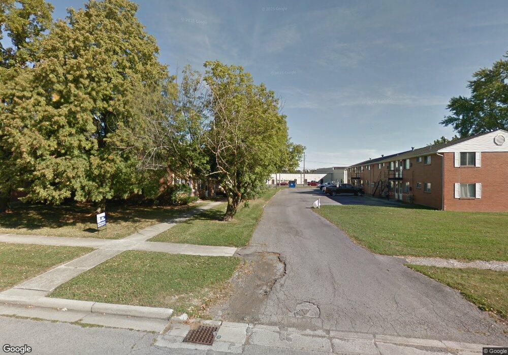
1732 Queenswood Dr #22 Findlay, OH 45840
Estimated Value: $119,000 - $140,765
3
Beds
2
Baths
1,102
Sq Ft
$115/Sq Ft
Est. Value
About This Home
This home is located at 1732 Queenswood Dr #22, Findlay, OH 45840 and is currently estimated at $126,191, approximately $114 per square foot. 1732 Queenswood Dr #22 is a home located in Hancock County with nearby schools including Wilson Vance Elementary School, Whittier Elementary School, and Donnell Middle School.
Ownership History
Date
Name
Owned For
Owner Type
Purchase Details
Closed on
Feb 8, 2017
Sold by
Hohn Julius J and Hohn Diana L
Bought by
Rhoad Kyle L
Current Estimated Value
Home Financials for this Owner
Home Financials are based on the most recent Mortgage that was taken out on this home.
Original Mortgage
$49,520
Outstanding Balance
$25,131
Interest Rate
4.32%
Mortgage Type
New Conventional
Estimated Equity
$101,060
Purchase Details
Closed on
Apr 5, 2000
Sold by
Ladd Brenda
Bought by
Hohn Julius J and Hohn Diana L
Home Financials for this Owner
Home Financials are based on the most recent Mortgage that was taken out on this home.
Original Mortgage
$52,400
Interest Rate
8.31%
Mortgage Type
New Conventional
Purchase Details
Closed on
Nov 20, 1992
Bought by
Dillion Gregory L
Purchase Details
Closed on
Jul 18, 1983
Bought by
Dillion Scott A and Dillion Rebecca
Create a Home Valuation Report for This Property
The Home Valuation Report is an in-depth analysis detailing your home's value as well as a comparison with similar homes in the area
Home Values in the Area
Average Home Value in this Area
Purchase History
| Date | Buyer | Sale Price | Title Company |
|---|---|---|---|
| Rhoad Kyle L | $61,900 | None Available | |
| Hohn Julius J | $65,500 | -- | |
| Dillion Gregory L | -- | -- | |
| Dillion Scott A | $32,500 | -- |
Source: Public Records
Mortgage History
| Date | Status | Borrower | Loan Amount |
|---|---|---|---|
| Open | Rhoad Kyle L | $49,520 | |
| Previous Owner | Hohn Julius J | $52,400 |
Source: Public Records
Tax History Compared to Growth
Tax History
| Year | Tax Paid | Tax Assessment Tax Assessment Total Assessment is a certain percentage of the fair market value that is determined by local assessors to be the total taxable value of land and additions on the property. | Land | Improvement |
|---|---|---|---|---|
| 2024 | $1,029 | $28,960 | $2,800 | $26,160 |
| 2023 | $1,030 | $28,960 | $2,800 | $26,160 |
| 2022 | $1,027 | $28,960 | $2,800 | $26,160 |
| 2021 | $983 | $24,150 | $2,100 | $22,050 |
| 2020 | $983 | $24,150 | $2,100 | $22,050 |
| 2019 | $965 | $24,150 | $2,100 | $22,050 |
| 2018 | $963 | $22,150 | $2,100 | $20,050 |
| 2017 | $963 | $22,150 | $2,100 | $20,050 |
| 2016 | $986 | $22,150 | $2,100 | $20,050 |
| 2015 | $1,114 | $24,760 | $2,100 | $22,660 |
| 2014 | $1,114 | $24,760 | $2,100 | $22,660 |
| 2012 | $1,124 | $24,760 | $2,100 | $22,660 |
Source: Public Records
Map
Nearby Homes
- 1817 Camelot Ln
- 1825 Greendale Ave
- 1926 Queenswood Dr
- 1932 Queenswood Dr
- 537 Bristol Dr
- 1018 Cherry Ln
- 1521 Middle Ct
- 1641 Cherry Ln
- 1527 South Ct
- 601 Yorkshire Dr
- 1203 Chateau Ct
- 822 Bright Rd
- 1450 Fostoria Ave
- 1364 Chateau Cir Unit 26
- 1364 Chateau Cir Unit 31
- 1306 Chateau Cir Unit 62
- 1306 Chateau Cir Unit 55
- 1306 Chateau Cir Unit 61
- 0 Bright Rd Unit 6117142
- 0 Bright Rd Unit 6117138
- 1732 Queenswood Dr #19
- 1732 Queenswood Dr #22 Unit 22
- 1720 Queenswood Dr Unit U7
- 1720 Queenswood Dr Unit U6
- 1720 Queenswood Dr Unit U5
- 1720 Queenswood Dr Unit U4
- 1720 Queenswood Dr Unit U3
- 1720 Queenswood Dr Unit U2
- 1720 Queenswood Dr Unit 3
- 1724 Queenswood Dr Unit U18
- 1724 Queenswood Dr Unit U17
- 1724 Queenswood Dr Unit U16
- 1724 Queenswood Dr Unit U15
- 1724 Queenswood Dr Unit U14
- 1724 Queenswood Dr Unit U13
- 1724 Queenswood Dr Unit U12
- 1724 Queenswood Dr Unit U11
- 1724 Queenswood Dr Unit U2C
- 1724 Queenswood Dr Unit U2B
- 1724 Queenswood Dr Unit U8