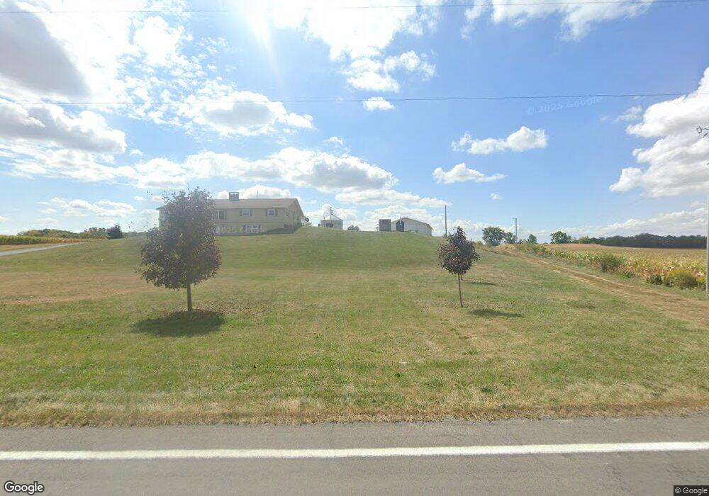
1732 State Route 385 Waynesfield, OH 45896
Estimated Value: $179,000
3
Beds
3
Baths
2,760
Sq Ft
$65/Sq Ft
Est. Value
About This Home
This home is located at 1732 State Route 385, Waynesfield, OH 45896 and is currently estimated at $179,000, approximately $64 per square foot. 1732 State Route 385 is a home located in Hardin County with nearby schools including Upper Scioto Valley Elementary School, Upper Scioto Valley Middle School, and Upper Scioto Valley High School.
Ownership History
Date
Name
Owned For
Owner Type
Purchase Details
Closed on
Jan 30, 2020
Sold by
Estate Of Jerrol C Gratz
Bought by
Gratz Brent A
Current Estimated Value
Purchase Details
Closed on
Dec 13, 2016
Bought by
Jerrol C Gratz
Purchase Details
Closed on
Oct 16, 2009
Sold by
Hatcher Terry W and Hatcher Christine M
Bought by
Gratz Jerrol and Gratz Judith
Home Financials for this Owner
Home Financials are based on the most recent Mortgage that was taken out on this home.
Original Mortgage
$32,485
Interest Rate
5.15%
Mortgage Type
Purchase Money Mortgage
Create a Home Valuation Report for This Property
The Home Valuation Report is an in-depth analysis detailing your home's value as well as a comparison with similar homes in the area
Home Values in the Area
Average Home Value in this Area
Purchase History
| Date | Buyer | Sale Price | Title Company |
|---|---|---|---|
| Gratz Brent A | -- | None Available | |
| Jerrol C Gratz | -- | -- | |
| Gratz Jerrol | -- | None Available |
Source: Public Records
Mortgage History
| Date | Status | Borrower | Loan Amount |
|---|---|---|---|
| Previous Owner | Gratz Jerrol | $32,485 |
Source: Public Records
Tax History Compared to Growth
Tax History
| Year | Tax Paid | Tax Assessment Tax Assessment Total Assessment is a certain percentage of the fair market value that is determined by local assessors to be the total taxable value of land and additions on the property. | Land | Improvement |
|---|---|---|---|---|
| 2024 | $498 | $12,690 | $12,690 | $0 |
| 2023 | $498 | $12,690 | $12,690 | $0 |
| 2022 | $288 | $6,410 | $6,410 | $0 |
| 2021 | $302 | $6,410 | $6,410 | $0 |
| 2020 | $306 | $6,410 | $6,410 | $0 |
| 2019 | $446 | $83,330 | $17,930 | $65,400 |
| 2018 | $3,432 | $83,330 | $17,930 | $65,400 |
| 2017 | $1,696 | $83,330 | $17,930 | $65,400 |
| 2016 | $2,824 | $76,200 | $22,860 | $53,340 |
| 2015 | $2,772 | $76,200 | $22,860 | $53,340 |
| 2014 | $1,430 | $76,660 | $22,860 | $53,800 |
| 2013 | $1,310 | $65,100 | $9,020 | $56,080 |
Source: Public Records
Map
Nearby Homes
- 2444 County Road 200
- 0 Ohio 235
- 16161 Ash Ave
- 16235 Maple Ave
- 15527 State Route 235
- 16074 Buckeye Ave
- 15858 Hickory Ave
- 15848 Barnes Dr
- 11298 Northlake Dr
- 11262 Northlake Dr
- 9151 Gross Dr
- 11377 Township Rd 266 Unit 66
- 11377 Township Rd 266 Unit 59
- 11377 Township Road 266 Unit 99
- 11377 Township Road 266 Unit 34
- 11377 Township Road 266 Unit 28
- 11377 Township Road 266 Unit 109
- 11065 County Road 293 Unit 13
- 9246 Elm Dr
- 11142 Houser Dr
- 1952 Ohio 385
- 1952 State Route 385
- 1983 State Route 385
- 1337 Ohio 385
- 1263 State Route 385
- 2167 S R
- 2167 State Route 385
- 2167 Ohio 385
- 18123 Township Road 39
- 18473 Township Rd
- 18439 Township Road 39
- 18473 Township Road 39
- 18228 Township Road 39
- 2254 Sr 385
- 17803 State Route 117
- 17809 St Route
- XXX Sr 117
- 17803 Ohio 117
- 2254 State Route 385
- 17809 Ohio 117