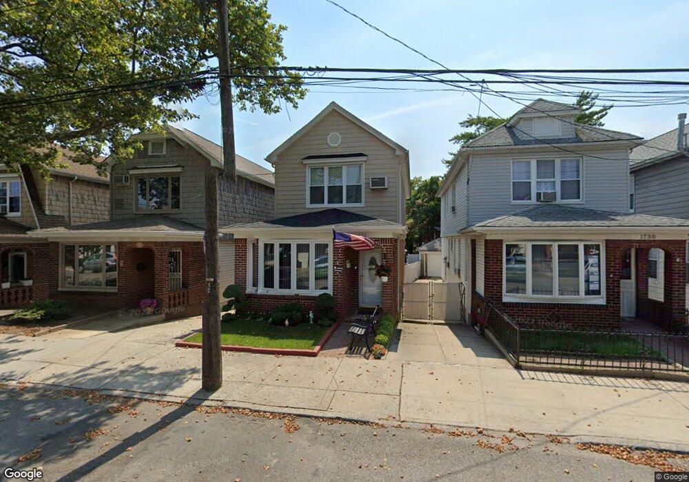
1732 Stuart St Brooklyn, NY 11229
Marine Park NeighborhoodEstimated Value: $739,000 - $1,016,000
--
Bed
--
Bath
1,376
Sq Ft
$663/Sq Ft
Est. Value
About This Home
This home is located at 1732 Stuart St, Brooklyn, NY 11229 and is currently estimated at $912,044, approximately $662 per square foot. 1732 Stuart St is a home located in Kings County with nearby schools including PS 222 Katherine R Snyder, J.H.S. 278 Marine Park, and James Madison High School.
Ownership History
Date
Name
Owned For
Owner Type
Purchase Details
Closed on
Sep 23, 2020
Sold by
Sclafani Florence and Sclafani Joseph
Bought by
Joseph A Sclafani As Trustee and The Sclafani Family Irrevocable Trust
Current Estimated Value
Purchase Details
Closed on
Jan 8, 2020
Sold by
Greco Catherine
Bought by
Amsterdam James S
Purchase Details
Closed on
Oct 15, 1996
Sold by
Pecci Robert
Bought by
Sclafani Joseph and Sclafani Florence
Create a Home Valuation Report for This Property
The Home Valuation Report is an in-depth analysis detailing your home's value as well as a comparison with similar homes in the area
Home Values in the Area
Average Home Value in this Area
Purchase History
| Date | Buyer | Sale Price | Title Company |
|---|---|---|---|
| Joseph A Sclafani As Trustee | -- | -- | |
| Amsterdam James S | $412,500 | -- | |
| Sclafani Joseph | $183,000 | Commonwealth Land Title Ins |
Source: Public Records
Tax History Compared to Growth
Tax History
| Year | Tax Paid | Tax Assessment Tax Assessment Total Assessment is a certain percentage of the fair market value that is determined by local assessors to be the total taxable value of land and additions on the property. | Land | Improvement |
|---|---|---|---|---|
| 2025 | $6,457 | $63,540 | $13,020 | $50,520 |
| 2024 | $6,457 | $60,960 | $13,020 | $47,940 |
| 2023 | $6,529 | $65,040 | $13,020 | $52,020 |
| 2022 | $4,766 | $61,860 | $13,020 | $48,840 |
| 2021 | $6,276 | $67,860 | $13,020 | $54,840 |
| 2020 | $4,707 | $54,780 | $13,020 | $41,760 |
| 2019 | $5,455 | $54,780 | $13,020 | $41,760 |
| 2018 | $5,303 | $30,356 | $9,304 | $21,052 |
| 2017 | $5,489 | $30,127 | $9,447 | $20,680 |
| 2016 | $5,022 | $28,422 | $8,614 | $19,808 |
| 2015 | $3,021 | $26,814 | $11,792 | $15,022 |
| 2014 | $3,021 | $25,297 | $9,452 | $15,845 |
Source: Public Records
Map
Nearby Homes
- 1711 Gerritsen Ave
- 1747 Stuart St
- 1721 E 29th St
- 1738 Burnett St
- 1746 Gerritsen Ave
- 1715 Burnett St
- 2988 Nostrand Ave
- 1664 Madison Place
- 2991 Quentin Rd
- 1837 Burnett St
- 2810 Avenue R
- 3165 Nostrand Ave Unit 1N
- 3165 Nostrand Ave Unit 2L
- 3165 Nostrand Ave Unit 4P
- 3165 Nostrand Ave Unit 4V
- 3165 Nostrand Ave Unit 1H
- 3165 Nostrand Ave Unit 1G
- 3165 Nostrand Ave Unit 1S
- 3165 Nostrand Ave Unit 1P
- 1817 Madison Place
- 1730 Stuart St
- 1736 Stuart St
- 1726 Stuart St
- 1738 Stuart St
- 1724 Stuart St
- 1740 Stuart St
- 1722 Stuart St
- 1744 Stuart St
- 1705 Gerritsen Ave
- 1709 Gerritsen Ave
- 3071 Nostrand Ave
- 1718 Stuart St
- 3065 Nostrand Ave
- 1748 Stuart St
- 1716 Stuart St
- 1716 Stuart St Unit Building
- 1715 Gerritsen Ave
- 3061 Nostrand Ave
- 1750 Stuart St
- 1714 Stuart St