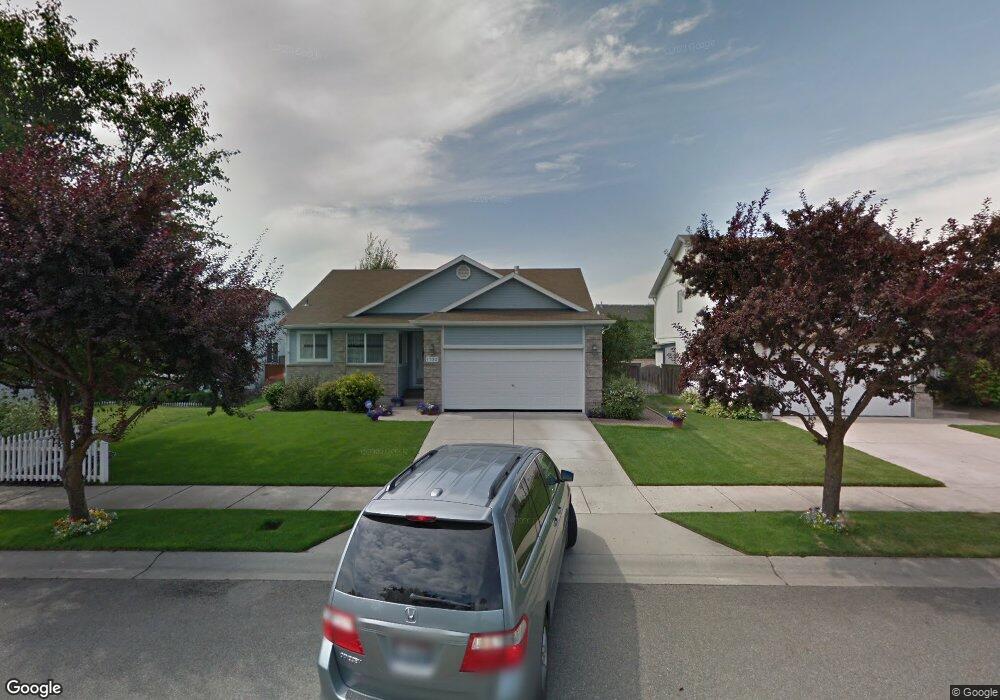
1732 W Durham Dr Coeur D'Alene, ID 83815
Ramsey-Woodland NeighborhoodEstimated Value: $556,922 - $679,000
2
Beds
2
Baths
2,608
Sq Ft
$233/Sq Ft
Est. Value
About This Home
This home is located at 1732 W Durham Dr, Coeur D'Alene, ID 83815 and is currently estimated at $606,981, approximately $232 per square foot. 1732 W Durham Dr is a home located in Kootenai County with nearby schools including Skyway Elementary School, Woodland Middle School, and Lake City High School.
Ownership History
Date
Name
Owned For
Owner Type
Purchase Details
Closed on
Mar 14, 2017
Sold by
Buchanan Jay Dudley and Buchanan Barbara Kay
Bought by
Buchanan Jay D and Buchanan Barbara K
Current Estimated Value
Purchase Details
Closed on
Apr 14, 2016
Sold by
Wilmington Savings Fund Society Fsb
Bought by
Mallett Victoria L and The Edmund S Moreno Living Trust
Purchase Details
Closed on
May 9, 2012
Sold by
Greenstoen Kootenai Inc
Bought by
Atlas Homs Llc
Purchase Details
Closed on
Dec 30, 2005
Sold by
Greenstone Kootenai Inc
Bought by
Greystone Homes Llc
Create a Home Valuation Report for This Property
The Home Valuation Report is an in-depth analysis detailing your home's value as well as a comparison with similar homes in the area
Home Values in the Area
Average Home Value in this Area
Purchase History
| Date | Buyer | Sale Price | Title Company |
|---|---|---|---|
| Buchanan Jay D | -- | Kootenai County Title Compan | |
| Mallett Victoria L | -- | Alliance Title Boise | |
| Atlas Homs Llc | -- | None Available | |
| Greystone Homes Llc | -- | -- |
Source: Public Records
Tax History Compared to Growth
Tax History
| Year | Tax Paid | Tax Assessment Tax Assessment Total Assessment is a certain percentage of the fair market value that is determined by local assessors to be the total taxable value of land and additions on the property. | Land | Improvement |
|---|---|---|---|---|
| 2025 | $1,874 | $498,103 | $185,000 | $313,103 |
| 2024 | $1,874 | $498,760 | $185,000 | $313,760 |
| 2023 | $1,874 | $530,820 | $184,500 | $346,320 |
| 2022 | $2,459 | $586,840 | $205,000 | $381,840 |
| 2021 | $2,179 | $374,607 | $107,525 | $267,082 |
| 2020 | $2,033 | $326,776 | $93,500 | $233,276 |
| 2019 | $2,087 | $291,667 | $85,000 | $206,667 |
| 2018 | $1,858 | $251,705 | $77,963 | $173,742 |
| 2017 | $1,521 | $212,639 | $64,969 | $147,670 |
| 2016 | $1,524 | $201,915 | $61,875 | $140,040 |
| 2015 | $789 | $197,690 | $56,250 | $141,440 |
| 2013 | $648 | $160,210 | $37,800 | $122,410 |
Source: Public Records
Map
Nearby Homes
- 5887 N Harcourt Dr
- 2122 W Windermere Ave
- 2187 W Windermere Ave
- 1815 W Dartmouth Cir
- 2154 W Windermere Ave
- 5880 N Magellan Ct
- 2214 W Windermere Ave
- 2189 W Yorkshire Ave
- 2099 W Plymouth Cir
- 1686 W Dartmouth Cir
- 2055 W Dartmouth Cir
- 1840 Westminster Ave
- 1710 Westminster Ave
- 5723 N Christopher Dr
- 1615 W Marlborough Ave
- 2489 W Plymouth Cir
- 2243 W Oxford Cir
- 1630 W Windsor Ave
- 5513 N Atlantic Dr
- 4838 W Cougar Cir
- 1720 W Durham Dr
- 1756 W Durham Dr
- 1737 W Tullis Dr
- 1712 W Durham Dr
- 1749 Tullis Dr
- 1749 W Tullis Dr
- 1725 Tullis Dr
- 1760 W Durham Dr
- 1757 Tullis Dr
- 1735 W Durham Dr
- 1749 W Durham Dr
- 1723 W Durham Dr
- 1711 W Tullis Dr
- 1715 W Durham Dr
- 1751 W Durham Dr
- 1765 W Tullis Dr
- 1710 W Durham Dr
- 1705 Tullis Dr
- 1763 W Durham Dr
- 1707 W Durham Dr