17320 Hillside Dr Mount Vernon, OH 43050
Estimated Value: $176,018 - $358,000
About This Home
This home is located at 17320 Hillside Dr, Mount Vernon, OH 43050 and is currently estimated at $239,505, approximately $249 per square foot. 17320 Hillside Dr is a home located in Knox County with nearby schools including Mount Vernon High School, St. Vincent de Paul School, and Mount Vernon Sda Elementary School.
Ownership History
We collect this data history from publicly available records. To have your information removed, we recommend requesting removal directly through your county’s website.
Purchase Details
Purchase Details
Purchase History
We collect this data history from publicly available records. To have your information removed, we recommend requesting removal directly through your county’s website.
| Date | Buyer | Sale Price | Title Company |
|---|---|---|---|
| -- | None Listed On Document | ||
| -- | -- |
Tax History
We collect this data history from publicly available records. To have your information removed, we recommend requesting removal directly through your county’s website.
| Year | Tax Paid | Tax Assessment Tax Assessment Total Assessment is a certain percentage of the fair market value that is determined by local assessors to be the total taxable value of land and additions on the property. | Land | Improvement |
|---|---|---|---|---|
| 2025 | $581 | $34,240 | $7,390 | $26,850 |
| 2024 | $581 | $34,240 | $7,390 | $26,850 |
| 2023 | $1,039 | $34,240 | $7,390 | $26,850 |
| 2022 | $687 | $23,620 | $5,100 | $18,520 |
| 2021 | $689 | $23,620 | $5,100 | $18,520 |
| 2020 | $672 | $23,620 | $5,100 | $18,520 |
| 2019 | $344 | $22,620 | $5,110 | $17,510 |
| 2018 | $344 | $22,620 | $5,110 | $17,510 |
| 2017 | $665 | $22,620 | $5,110 | $17,510 |
| 2016 | $589 | $20,950 | $4,730 | $16,220 |
| 2015 | $592 | $20,950 | $4,730 | $16,220 |
| 2014 | $594 | $20,950 | $4,730 | $16,220 |
| 2013 | $611 | $20,830 | $4,000 | $16,830 |
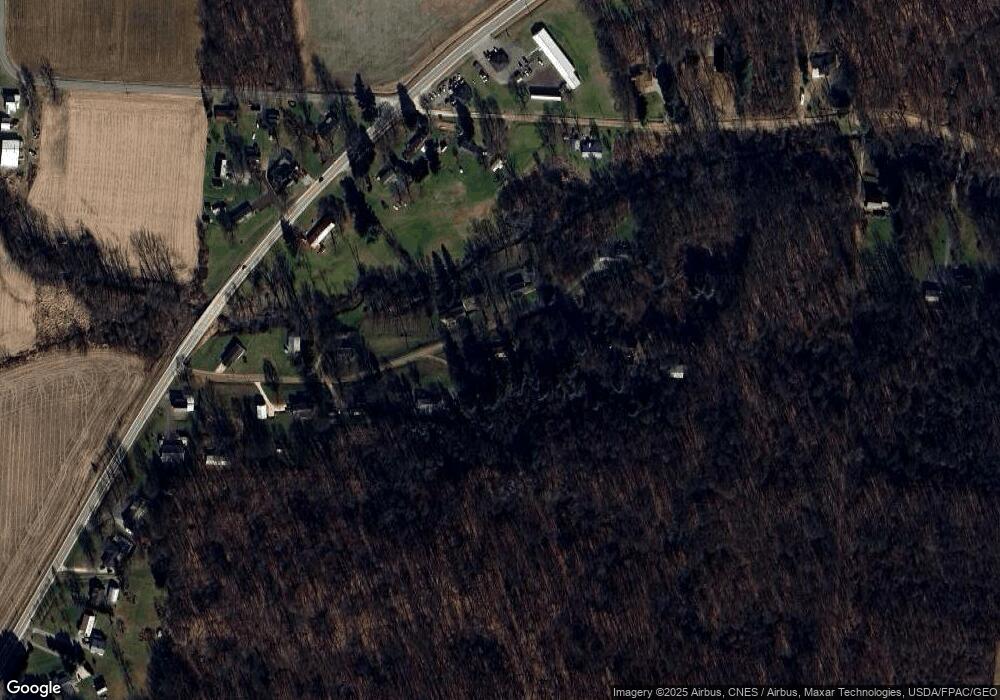
Map
- 1.17 Acres Wooster Rd
- 13999 Wooster Rd
- 15692 Carson Rd
- 14281 N Liberty Rd
- 17970 Scott Rd
- 12627 Upper Gilchrist Rd
- 208 Plymouth Rd
- 15724 Sherri Rd
- 532 Wooster Rd
- 0 Crooked St
- 125 Morris St
- 13739 Old Mansfield Rd
- 0 Indian Hills Rd
- 17863 Coshocton Rd
- 17100 N Liberty Rd
- 13399 Old Mansfield Rd
- 13232 Mansfield Rd
- 13232 Old Mansfield Rd
- 13159 Old Mansfield Rd
- 630 Fairgrounds Rd
- 17235 Hillside Dr
- 17241 Hillside Dr
- 17198 Hillside Dr
- 17139 Hillside Dr
- 17281 Hillside Dr
- 17148 Hillside Dr
- 17120 Hillside Dr
- 17237 Proper Rd
- 14510 Wooster Rd
- 17244 Proper Rd
- 17200 Proper Rd
- 14487 Wooster Rd
- 17075 Hillside Dr
- 17100 Proper Rd
- 14457 Wooster Rd
- 17080 Hillside Dr
- 17086 Proper Rd
- 17220 Proper Rd
- 14481 Wooster Rd
- 14396 Wooster Rd
Ask me questions while you tour the home.