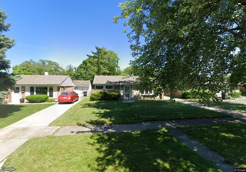
17323 Walter St Lansing, IL 60438
Estimated Value: $165,761 - $209,000
3
Beds
1
Bath
1,395
Sq Ft
$131/Sq Ft
Est. Value
About This Home
This home is located at 17323 Walter St, Lansing, IL 60438 and is currently estimated at $182,940, approximately $131 per square foot. 17323 Walter St is a home located in Cook County with nearby schools including Reavis Elementary School, Memorial Jr High School, and Thornton Fractnl So High School.
Ownership History
Date
Name
Owned For
Owner Type
Purchase Details
Closed on
Apr 10, 1996
Sold by
Gajewski Susan C
Bought by
Gajewski Kenneth J
Current Estimated Value
Home Financials for this Owner
Home Financials are based on the most recent Mortgage that was taken out on this home.
Original Mortgage
$69,775
Interest Rate
6.72%
Mortgage Type
FHA
Create a Home Valuation Report for This Property
The Home Valuation Report is an in-depth analysis detailing your home's value as well as a comparison with similar homes in the area
Home Values in the Area
Average Home Value in this Area
Purchase History
| Date | Buyer | Sale Price | Title Company |
|---|---|---|---|
| Gajewski Kenneth J | -- | Ticor Title | |
| Gajewski Kenneth J | -- | -- |
Source: Public Records
Mortgage History
| Date | Status | Borrower | Loan Amount |
|---|---|---|---|
| Closed | Gajewski Kenneth J | $69,775 |
Source: Public Records
Tax History Compared to Growth
Tax History
| Year | Tax Paid | Tax Assessment Tax Assessment Total Assessment is a certain percentage of the fair market value that is determined by local assessors to be the total taxable value of land and additions on the property. | Land | Improvement |
|---|---|---|---|---|
| 2024 | $842 | $11,000 | $2,480 | $8,520 |
| 2023 | $722 | $11,000 | $2,480 | $8,520 |
| 2022 | $722 | $7,953 | $2,170 | $5,783 |
| 2021 | $816 | $7,952 | $2,170 | $5,782 |
| 2020 | $857 | $7,952 | $2,170 | $5,782 |
| 2019 | $529 | $7,788 | $2,015 | $5,773 |
| 2018 | $513 | $7,788 | $2,015 | $5,773 |
| 2017 | $585 | $7,788 | $2,015 | $5,773 |
| 2016 | $1,857 | $8,064 | $1,860 | $6,204 |
| 2015 | $1,812 | $8,064 | $1,860 | $6,204 |
| 2014 | $1,834 | $8,064 | $1,860 | $6,204 |
| 2013 | $2,898 | $9,065 | $1,860 | $7,205 |
Source: Public Records
Map
Nearby Homes
- 17317 Roy St
- 17303 Roy St
- 17419 Walter St
- 17331 Community St
- 17415 Burnham Ave
- 17157 Walter St
- 3127 Bernice Rd Unit 2
- 3127 Bernice Rd Unit 6
- 17153 Walter St
- 3409 173rd Place
- 17153 Burnham Ave
- 17132 Walter St
- 17138 Burnham Ave
- 17518 Roy St
- 17137 Greenbay Ave
- 17258 William St
- 17519 Community St
- 17128 Grant St
- 3026 Bernice Rd Unit 308
- 3010 Bernice Rd Unit 303
- 17319 Walter St
- 17327 Walter St
- 17313 Walter St
- 17333 Walter St
- 17307 Walter St
- 17318 Roy St
- 17324 Roy St
- 17326 Roy St
- 17312 Roy St
- 17337 Walter St
- 17303 Walter St
- 17322 Walter St
- 17318 Walter St
- 17326 Walter St
- 17336 Roy St
- 17341 Walter St
- 17302 Roy St
- 17306 Walter St
- 17332 Walter St
- 17336 Walter St