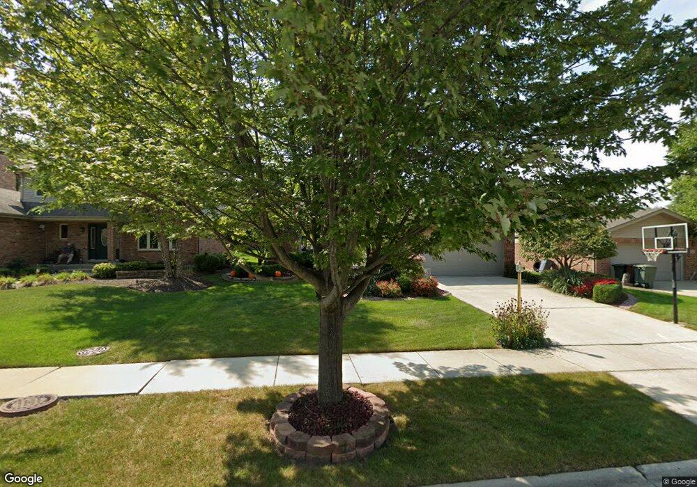
17324 Arrowhead Trace Oak Forest, IL 60452
Estimated Value: $390,422 - $402,000
4
Beds
2
Baths
2,044
Sq Ft
$194/Sq Ft
Est. Value
About This Home
This home is located at 17324 Arrowhead Trace, Oak Forest, IL 60452 and is currently estimated at $396,856, approximately $194 per square foot. 17324 Arrowhead Trace is a home located in Cook County with nearby schools including Kimberly Heights Elementary School, Scarlet Oak Elementary School, and Arbor Park Middle School.
Ownership History
Date
Name
Owned For
Owner Type
Purchase Details
Closed on
Apr 18, 1996
Sold by
State Bank Of Countryside
Bought by
Ing Troy and Ing Mary Ann
Current Estimated Value
Home Financials for this Owner
Home Financials are based on the most recent Mortgage that was taken out on this home.
Original Mortgage
$119,000
Outstanding Balance
$5,903
Interest Rate
7.91%
Estimated Equity
$390,953
Create a Home Valuation Report for This Property
The Home Valuation Report is an in-depth analysis detailing your home's value as well as a comparison with similar homes in the area
Home Values in the Area
Average Home Value in this Area
Purchase History
| Date | Buyer | Sale Price | Title Company |
|---|---|---|---|
| Ing Troy | $199,000 | Intercounty Title |
Source: Public Records
Mortgage History
| Date | Status | Borrower | Loan Amount |
|---|---|---|---|
| Open | Ing Troy | $119,000 |
Source: Public Records
Tax History Compared to Growth
Tax History
| Year | Tax Paid | Tax Assessment Tax Assessment Total Assessment is a certain percentage of the fair market value that is determined by local assessors to be the total taxable value of land and additions on the property. | Land | Improvement |
|---|---|---|---|---|
| 2024 | $11,459 | $35,000 | $5,655 | $29,345 |
| 2023 | $9,904 | $35,000 | $5,655 | $29,345 |
| 2022 | $9,904 | $24,683 | $5,003 | $19,680 |
| 2021 | $9,700 | $24,681 | $5,002 | $19,679 |
| 2020 | $9,452 | $24,681 | $5,002 | $19,679 |
| 2019 | $10,581 | $27,010 | $4,567 | $22,443 |
| 2018 | $10,346 | $27,010 | $4,567 | $22,443 |
| 2017 | $10,324 | $27,010 | $4,567 | $22,443 |
| 2016 | $10,072 | $24,693 | $3,915 | $20,778 |
| 2015 | $9,729 | $24,693 | $3,915 | $20,778 |
| 2014 | $9,512 | $24,693 | $3,915 | $20,778 |
| 2013 | $8,799 | $25,602 | $3,915 | $21,687 |
Source: Public Records
Map
Nearby Homes
- 17213 Arrowhead Trace
- 5125 171st St
- 5048 171st St
- 17410 Brennan Hwy
- 5185 Greentree Rd
- 5524 Christopher Dr
- 5500 177th St
- 5103 Elmwood Rd
- 4847 175th St
- 5112 Deerpath Rd Unit 4
- 16938 Cicero Ave
- 5256 169th Place
- 16934 Cicero Ave
- 16740 Forest Ave
- 5013 180th St
- 17608 Anthony Ave
- 17709 John Ave
- 17940 Michael Ave
- 17613 Hawthorne Dr
- 4826 Summerhill Dr
- 17330 Arrowhead Trace
- 17318 Arrowhead Trace
- 17336 Arrowhead Trace
- 17312 Arrowhead Trace
- 17342 Arrowhead Trace
- 17319 Arrowhead Trace
- 17313 Arrowhead Trace
- 17325 Arrowhead Trace
- 17306 Arrowhead Trace
- 5214 Nicholas Ct
- 17331 Arrowhead Trace
- 17348 Arrowhead Trace
- 17307 Arrowhead Trace
- 17380 Brennan Hwy
- 5217 Nicholas Ct
- 17337 Arrowhead Trace
- 17300 Arrowhead Trace
- 17354 Arrowhead Trace
- 5222 Nicholas Ct
- 17343 Arrowhead Trace