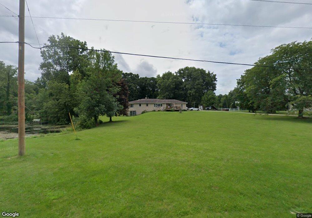
17325 Manitou Beach Rd Addison, MI 49220
Estimated Value: $280,000 - $551,000
3
Beds
3
Baths
1,584
Sq Ft
$228/Sq Ft
Est. Value
About This Home
This home is located at 17325 Manitou Beach Rd, Addison, MI 49220 and is currently estimated at $361,507, approximately $228 per square foot. 17325 Manitou Beach Rd is a home located in Lenawee County with nearby schools including Addison Elementary School, Addison Middle School, and Addison High School.
Ownership History
Date
Name
Owned For
Owner Type
Purchase Details
Closed on
Mar 20, 2009
Sold by
Cole Timothy Wayne and Cole Peggy Sue
Bought by
Miller James G
Current Estimated Value
Home Financials for this Owner
Home Financials are based on the most recent Mortgage that was taken out on this home.
Original Mortgage
$124,699
Outstanding Balance
$79,208
Interest Rate
5.11%
Mortgage Type
FHA
Estimated Equity
$282,299
Purchase Details
Closed on
Jul 2, 2008
Sold by
Kelley Asa E and Kelley Helen M
Bought by
Cole Timothy Wayne and Cole Peggy Sue
Purchase Details
Closed on
Jun 28, 2008
Sold by
Ames Lyles N
Bought by
Cole Timothy Wayne and Cole Peggy Sue
Purchase Details
Closed on
May 15, 2008
Sold by
Cole Timothy Wayne and Cole Peggy Sue
Bought by
Acker Dwight D and Acker Shawn Marie
Create a Home Valuation Report for This Property
The Home Valuation Report is an in-depth analysis detailing your home's value as well as a comparison with similar homes in the area
Home Values in the Area
Average Home Value in this Area
Purchase History
| Date | Buyer | Sale Price | Title Company |
|---|---|---|---|
| Miller James G | $127,000 | Stewart Title Guaranty Compa | |
| Cole Timothy Wayne | -- | Stewart Title Guaranty Compa | |
| Cole Timothy Wayne | -- | Stewart Title Guaranty Compa | |
| Acker Dwight D | -- | None Available |
Source: Public Records
Mortgage History
| Date | Status | Borrower | Loan Amount |
|---|---|---|---|
| Open | Miller James G | $124,699 |
Source: Public Records
Tax History Compared to Growth
Tax History
| Year | Tax Paid | Tax Assessment Tax Assessment Total Assessment is a certain percentage of the fair market value that is determined by local assessors to be the total taxable value of land and additions on the property. | Land | Improvement |
|---|---|---|---|---|
| 2025 | $2,109 | $137,300 | $0 | $0 |
| 2024 | $995 | $96,500 | $0 | $0 |
| 2022 | $2,025 | $79,500 | $0 | $0 |
| 2021 | $1,869 | $83,800 | $0 | $0 |
| 2020 | $1,853 | $86,200 | $0 | $0 |
| 2019 | $209,242 | $86,200 | $0 | $0 |
| 2018 | $1,783 | $82,556 | $0 | $0 |
| 2017 | $1,723 | $77,194 | $0 | $0 |
| 2016 | $1,719 | $82,232 | $0 | $0 |
| 2014 | -- | $80,820 | $0 | $0 |
Source: Public Records
Map
Nearby Homes
- 0
- 6482 Sorby Hwy
- VL Manitou Beach Road Proposed
- 0 Manitou Beach Rd Lot B
- 360 Park St
- 348 Lenawee St
- 1100 Elm Blk St
- 135 S Steer St
- 236 S Steer St
- 9254 Cherry Point Rd
- 5875 U S 127
- 305 N Steer St
- 8676 Cherry Point Dr
- 400 Manitou Rd
- 5087 Townley Hwy
- 9265 Devils Lake Hwy
- 1220 Round Lake Hwy
- Lots 4 & 5 Elm Park Dr
- 1930 Geneva Hwy
- 11698 Elm Park Dr
- 17345 Manitou Beach Rd
- 17401 Manitou Beach Rd
- 17500 Manitou Beach Rd
- 17126 Manitou Beach Rd
- 17402 Manitou Beach Rd
- 17125 Manitou Beach Rd
- 6200 N Rollin Hwy
- 5970 N Rollin Hwy
- 6000 N Rollin Hwy Unit BLK
- 6000 N Rollin Hwy Unit BLK
- 6000 N Rollin Hwy Unit BLK
- 6000 N Rollin Hwy Unit BLK
- 6000 N Rollin Hwy Unit Lot B
- 6000 N Rollin Hwy Unit Lot A
- 6000 N Rollin Hwy
- 5890 N Rollin Hwy
- 5930 N Rollin Hwy
- 5850 N Rollin Hwy
- 17140 Manitou Rd
- 17635 Manitou Beach Rd