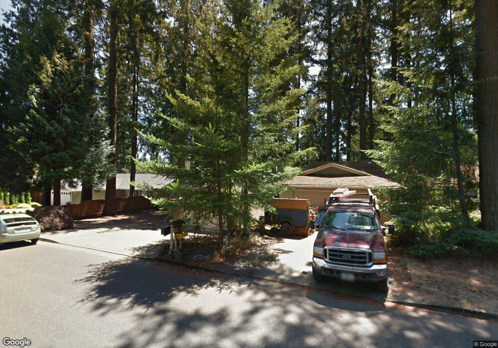
17325 No Site Address Lakeoswego, OR 97035
Bryant NeighborhoodEstimated Value: $779,883 - $817,000
3
Beds
3
Baths
1,823
Sq Ft
$437/Sq Ft
Est. Value
About This Home
This home is located at 17325 No Site Address, Lakeoswego, OR 97035 and is currently estimated at $797,221, approximately $437 per square foot. 17325 No Site Address is a home located in Clackamas County with nearby schools including River Grove Elementary School, Lakeridge Middle School, and Lakeridge High School.
Ownership History
Date
Name
Owned For
Owner Type
Purchase Details
Closed on
May 11, 2006
Sold by
Brown Danielle P and Brown Timothy R
Bought by
Ginn Julie Faith and Ginn Robert Scott
Current Estimated Value
Home Financials for this Owner
Home Financials are based on the most recent Mortgage that was taken out on this home.
Original Mortgage
$300,000
Outstanding Balance
$170,847
Interest Rate
6.3%
Mortgage Type
Fannie Mae Freddie Mac
Estimated Equity
$626,374
Purchase Details
Closed on
Feb 2, 2000
Sold by
Rice R J
Bought by
Brown Danielle P and Brown Timothy R
Home Financials for this Owner
Home Financials are based on the most recent Mortgage that was taken out on this home.
Original Mortgage
$225,565
Interest Rate
7.96%
Purchase Details
Closed on
Jan 14, 1997
Sold by
Palmquist Gregory M
Bought by
Evergreen Pacific Development Company
Create a Home Valuation Report for This Property
The Home Valuation Report is an in-depth analysis detailing your home's value as well as a comparison with similar homes in the area
Home Values in the Area
Average Home Value in this Area
Purchase History
| Date | Buyer | Sale Price | Title Company |
|---|---|---|---|
| Ginn Julie Faith | $440,000 | Transnation Title Agency Or | |
| Brown Danielle P | $237,437 | Chicago Title Insurance Co | |
| Evergreen Pacific Development Company | $95,000 | Stewart Title |
Source: Public Records
Mortgage History
| Date | Status | Borrower | Loan Amount |
|---|---|---|---|
| Open | Ginn Julie Faith | $300,000 | |
| Previous Owner | Brown Danielle P | $225,565 |
Source: Public Records
Tax History Compared to Growth
Tax History
| Year | Tax Paid | Tax Assessment Tax Assessment Total Assessment is a certain percentage of the fair market value that is determined by local assessors to be the total taxable value of land and additions on the property. | Land | Improvement |
|---|---|---|---|---|
| 2025 | $7,493 | $390,200 | -- | -- |
| 2024 | $7,294 | $378,835 | -- | -- |
| 2023 | $7,294 | $367,801 | $0 | $0 |
| 2022 | $6,869 | $357,089 | $0 | $0 |
| 2021 | $6,345 | $346,689 | $0 | $0 |
| 2020 | $6,185 | $336,592 | $0 | $0 |
| 2019 | $6,033 | $326,789 | $0 | $0 |
| 2018 | $5,737 | $317,271 | $0 | $0 |
| 2017 | $5,536 | $308,030 | $0 | $0 |
| 2016 | $5,040 | $299,058 | $0 | $0 |
| 2015 | $4,869 | $290,348 | $0 | $0 |
| 2014 | $4,806 | $281,891 | $0 | $0 |
Source: Public Records
Map
Nearby Homes
- 17239 Rebecca Ln
- 5328 Lower Dr
- 5189 Rosewood St
- 4971 Lakeview Blvd
- 5225 Jean Rd Unit 307
- 17401 Hill Way
- 5513 Rachel Ln
- 5650 Lakeview Blvd
- 5966 Frost Ln
- 4640 Lower Dr
- 16960 Denney Ct
- 16508 Bonaire Ave
- 5057 W Sunset Dr
- 4470 Lakeview Blvd
- 16405 Bonaire Ave
- 4241 Cobb Way
- 4264 Westbay Rd
- 4224 Haven St
- 6244 Frost Ln
- 4368 Lakeview Blvd
- 17325 Mandi Ln
- 17311 Mandi Ln
- 17314 Mandi Ln
- 16140 Lindsay Ct
- 5280 Rosewood St
- 5177 Lakeview Blvd
- 5318 Rosewood St
- 5262 Rosewood St
- 16120 Lindsay Ct
- 16151 Lindsay Ct
- 5222 Rosewood St
- 5336 Rosewood St
- 17347 Ashley Ct
- 5200 Rosewood St
- 16131 Lindsay Ct
- 17348 Hunter Ct
- 16000 Lindsay Ct
- 17360 Hunter Ct
- 17335 Ashley Ct
- 17502 Erin Ct