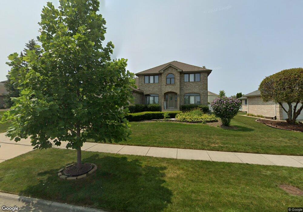
17328 92nd Ave Tinley Park, IL 60487
Central Tinley Park NeighborhoodEstimated Value: $544,000 - $572,000
4
Beds
3
Baths
2,738
Sq Ft
$202/Sq Ft
Est. Value
About This Home
This home is located at 17328 92nd Ave, Tinley Park, IL 60487 and is currently estimated at $552,950, approximately $201 per square foot. 17328 92nd Ave is a home located in Cook County with nearby schools including Christa Mcauliffe School, Prairie View Middle School, and Victor J Andrew High School.
Ownership History
Date
Name
Owned For
Owner Type
Purchase Details
Closed on
Nov 22, 2020
Sold by
Dovgin Darrin and Dovgin Monica
Bought by
Quadar Muharer and Ghani Mohammed
Current Estimated Value
Home Financials for this Owner
Home Financials are based on the most recent Mortgage that was taken out on this home.
Original Mortgage
$215,000
Interest Rate
2.99%
Mortgage Type
New Conventional
Create a Home Valuation Report for This Property
The Home Valuation Report is an in-depth analysis detailing your home's value as well as a comparison with similar homes in the area
Home Values in the Area
Average Home Value in this Area
Purchase History
| Date | Buyer | Sale Price | Title Company |
|---|---|---|---|
| Quadar Muharer | $410,000 | First American Title |
Source: Public Records
Mortgage History
| Date | Status | Borrower | Loan Amount |
|---|---|---|---|
| Previous Owner | Quadar Muharer | $215,000 |
Source: Public Records
Tax History Compared to Growth
Tax History
| Year | Tax Paid | Tax Assessment Tax Assessment Total Assessment is a certain percentage of the fair market value that is determined by local assessors to be the total taxable value of land and additions on the property. | Land | Improvement |
|---|---|---|---|---|
| 2024 | $10,559 | $38,568 | $15,213 | $23,355 |
| 2023 | $8,588 | $44,000 | $15,213 | $28,787 |
| 2022 | $8,588 | $30,248 | $6,563 | $23,685 |
| 2021 | $11,482 | $33,277 | $6,562 | $26,715 |
| 2020 | $10,141 | $33,277 | $6,562 | $26,715 |
| 2019 | $8,894 | $30,854 | $5,966 | $24,888 |
| 2018 | $8,702 | $30,854 | $5,966 | $24,888 |
| 2017 | $9,022 | $32,579 | $5,966 | $26,613 |
| 2016 | $8,001 | $26,589 | $5,369 | $21,220 |
| 2015 | $7,875 | $26,589 | $5,369 | $21,220 |
| 2014 | $8,235 | $27,848 | $5,369 | $22,479 |
| 2013 | $7,732 | $28,231 | $5,369 | $22,862 |
Source: Public Records
Map
Nearby Homes
- 9201 175th St
- 17224 Briar Dr
- 9334 Drummond Dr Unit 3
- 9260 Windsor Pkwy Unit 80
- 9280 Windsor Pkwy Unit 92
- 9413 Caledonia Dr
- 17533 Pecan Ln
- 17230 Shetland Dr
- 17018 93rd Ave
- 17535-2 Lagrange Rd
- 17535 S La Grange Rd
- 16950 90th Ave
- 16779 92nd Ave
- 16805 Hilltop Ave
- 17324 Humber Ln
- 17964 Upland Dr
- Fremont Plan at Radcliffe Place
- Calysta Plan at Radcliffe Place
- Danbury Plan at Radcliffe Place
- Briarcliffe Plan at Radcliffe Place
- 17334 92nd Ave
- 17322 92nd Ave
- 17319 Cambridge Place
- 17316 92nd Ave
- 9200 174th St
- 9212 174th St
- 17313 Cambridge Place
- 17341 92nd Ave
- 9218 174th St
- 17325 Cambridge Place
- 17308 92nd Ave
- 9130 174th St
- 9224 174th St
- 9224 174th St
- 17410 92nd Ave
- 9207 174th St
- 17331 Cambridge Place
- 9124 174th St
- 9213 174th St
- 9230 174th St