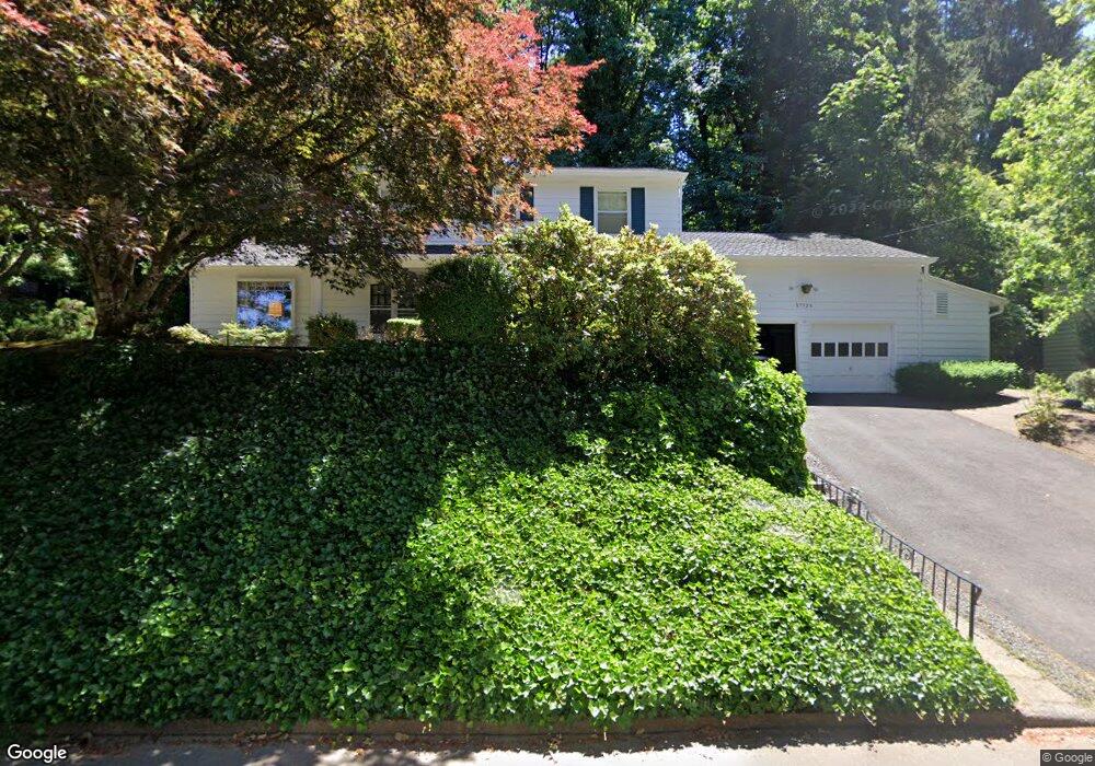
17328 Canyon Dr Lake Oswego, OR 97034
Palisades NeighborhoodEstimated Value: $1,008,000 - $1,475,000
4
Beds
3
Baths
2,470
Sq Ft
$465/Sq Ft
Est. Value
About This Home
This home is located at 17328 Canyon Dr, Lake Oswego, OR 97034 and is currently estimated at $1,148,221, approximately $464 per square foot. 17328 Canyon Dr is a home located in Clackamas County with nearby schools including Westridge Elementary School, Lakeridge Middle School, and Lakeridge High School.
Ownership History
Date
Name
Owned For
Owner Type
Purchase Details
Closed on
May 30, 2012
Sold by
The Muir Family Trust
Bought by
Carolyn S Muir Survivors Trust
Current Estimated Value
Create a Home Valuation Report for This Property
The Home Valuation Report is an in-depth analysis detailing your home's value as well as a comparison with similar homes in the area
Home Values in the Area
Average Home Value in this Area
Purchase History
| Date | Buyer | Sale Price | Title Company |
|---|---|---|---|
| Carolyn S Muir Survivors Trust | -- | None Available |
Source: Public Records
Tax History Compared to Growth
Tax History
| Year | Tax Paid | Tax Assessment Tax Assessment Total Assessment is a certain percentage of the fair market value that is determined by local assessors to be the total taxable value of land and additions on the property. | Land | Improvement |
|---|---|---|---|---|
| 2025 | $8,629 | $449,319 | -- | -- |
| 2024 | $8,399 | $436,233 | -- | -- |
| 2023 | $8,399 | $423,528 | $0 | $0 |
| 2022 | $7,910 | $411,193 | $0 | $0 |
| 2021 | $7,306 | $399,217 | $0 | $0 |
| 2020 | $7,122 | $387,590 | $0 | $0 |
| 2019 | $6,947 | $376,301 | $0 | $0 |
| 2018 | $6,607 | $365,341 | $0 | $0 |
| 2017 | $6,375 | $354,700 | $0 | $0 |
| 2016 | $5,804 | $344,369 | $0 | $0 |
| 2015 | $5,607 | $334,339 | $0 | $0 |
| 2014 | $5,534 | $324,601 | $0 | $0 |
Source: Public Records
Map
Nearby Homes
- 2627 Park Rd
- 17360 Alpine Way
- 17901 Hillside Dr
- 2306 Mayors Ln
- 17677 Westview Dr
- 17035 Westview Dr
- 16878 Canyon Dr
- 2255 Glen Haven Rd
- 1951 Greentree Rd
- 0 S Shore Blvd
- 1931 Park Forest Ct
- 17447 Blue Heron Rd
- 17210 Cedar Rd
- 17958 Saint Clair Dr
- 1847 Woodland Terrace
- 16636 Maple Cir
- 1700 Woodland Terrace
- 17367 Canal Cir
- 1467 Greentree Cir
- 17595 Kelok Rd
- 17310 Canyon Dr
- 17330 Canyon Ct
- 2179 Hillside Ct
- 2161 Hillside Ct
- 2500 Dellwood Dr
- 17311 Canyon Dr
- 17332 Canyon Ct
- 2183 Hillside Ct
- 2189 Hillside Ct
- 2400 Dellwood Dr
- 2550 Dellwood Dr
- 17321 Canyon Dr
- 17340 Canyon Dr
- 2150 Hillside Ct
- 2602 Lookout Ct
- 2130 Hillside Ct
- 2380 Dellwood Dr
- 2227 Hillside Dr
- 2201 Hillside Dr
- 2110 Hillside Ct