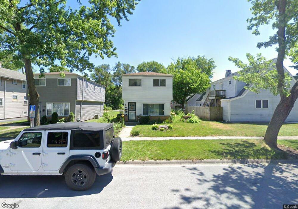
1733 Charleston Ln Hazel Crest, IL 60429
Hazel Crest Proper NeighborhoodEstimated Value: $145,000 - $174,616
3
Beds
1
Bath
1,382
Sq Ft
$113/Sq Ft
Est. Value
About This Home
This home is located at 1733 Charleston Ln, Hazel Crest, IL 60429 and is currently estimated at $155,654, approximately $112 per square foot. 1733 Charleston Ln is a home located in Cook County with nearby schools including Thornwood High School.
Ownership History
Date
Name
Owned For
Owner Type
Purchase Details
Closed on
Mar 13, 2024
Sold by
Sabre Investments Llc
Bought by
B & G Homes Llc
Current Estimated Value
Purchase Details
Closed on
Nov 10, 2022
Sold by
Yarbrough Karen A
Bought by
Sabre Investments Llc
Purchase Details
Closed on
Mar 6, 2017
Sold by
South Suburban Land Bank And Development
Bought by
B T L Empire Llc
Purchase Details
Closed on
May 19, 2016
Sold by
Anderson Thomas
Bought by
Federal National Mortgage Association
Create a Home Valuation Report for This Property
The Home Valuation Report is an in-depth analysis detailing your home's value as well as a comparison with similar homes in the area
Home Values in the Area
Average Home Value in this Area
Purchase History
| Date | Buyer | Sale Price | Title Company |
|---|---|---|---|
| B & G Homes Llc | $55,000 | Chicago Title Insurance Compan | |
| Sabre Investments Llc | -- | None Listed On Document | |
| B T L Empire Llc | -- | Attorney | |
| Federal National Mortgage Association | -- | None Available |
Source: Public Records
Tax History Compared to Growth
Tax History
| Year | Tax Paid | Tax Assessment Tax Assessment Total Assessment is a certain percentage of the fair market value that is determined by local assessors to be the total taxable value of land and additions on the property. | Land | Improvement |
|---|---|---|---|---|
| 2024 | $5,764 | $9,000 | $1,200 | $7,800 |
| 2023 | $5,183 | $9,000 | $1,200 | $7,800 |
| 2022 | $5,183 | $5,988 | $1,029 | $4,959 |
| 2021 | $5,038 | $5,987 | $1,028 | $4,959 |
| 2020 | $4,723 | $5,987 | $1,028 | $4,959 |
| 2019 | $5,818 | $7,439 | $942 | $6,497 |
| 2018 | $5,662 | $7,439 | $942 | $6,497 |
| 2017 | $5,478 | $7,439 | $942 | $6,497 |
| 2016 | $4,889 | $7,233 | $857 | $6,376 |
| 2015 | $4,743 | $7,233 | $857 | $6,376 |
| 2014 | $4,683 | $7,233 | $857 | $6,376 |
| 2013 | $4,729 | $8,007 | $857 | $7,150 |
Source: Public Records
Map
Nearby Homes
- 16919 Wood St
- 1710 169th St
- 16910 Lincoln St
- 16963 Winchester Ave
- 16930 Winchester Ave
- 1913 170th St
- 16637 Paulina St
- 16707 Dixie Hwy
- 17046 Winchester Ave
- 16619 Marshfield Ave
- 16918 Shea Ave
- 16611 Marshfield Ave
- 16547 Paulina St
- 2030 170th St
- 16840 Bulger Ave
- 16768 Bulger Ave
- 16527 Marshfield Ave
- 1848 172nd St
- 17026 Bulger Ave
- 16510 Marshfield Ave