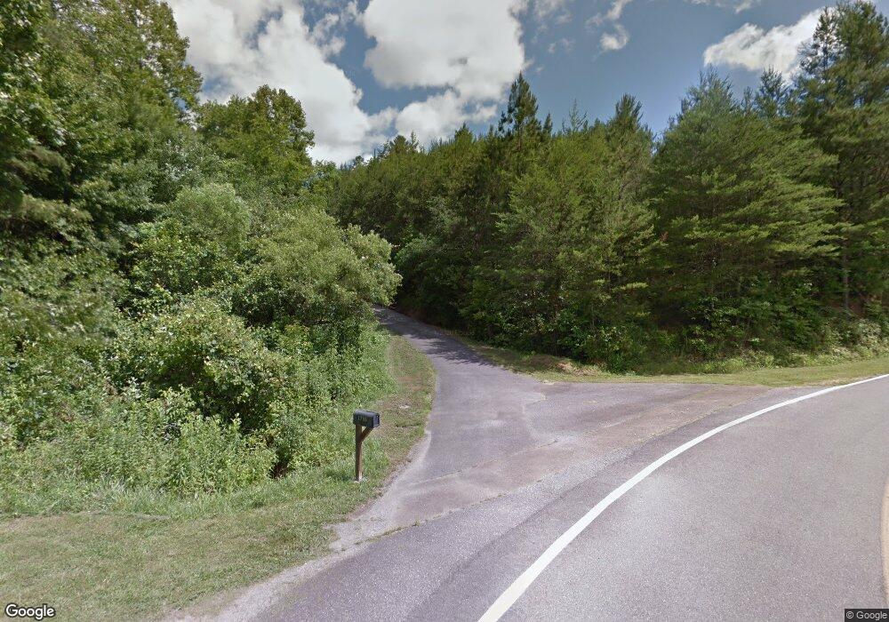
1733 Cutcane Rd Mineral Bluff, GA 30559
Estimated Value: $447,000 - $892,815
--
Bed
1
Bath
1,319
Sq Ft
$472/Sq Ft
Est. Value
About This Home
This home is located at 1733 Cutcane Rd, Mineral Bluff, GA 30559 and is currently estimated at $621,938, approximately $471 per square foot. 1733 Cutcane Rd is a home located in Fannin County with nearby schools including Fannin County High School.
Ownership History
Date
Name
Owned For
Owner Type
Purchase Details
Closed on
Mar 13, 1997
Sold by
First Bank Of Polk C
Bought by
Stephens Mary Ann
Current Estimated Value
Purchase Details
Closed on
Sep 22, 1994
Sold by
Stephens Amelia N
Bought by
Stephens Mary Ann
Purchase Details
Closed on
Aug 14, 1994
Sold by
Stephens Mary Ann
Bought by
Stephens Mary Ann
Purchase Details
Closed on
Feb 19, 1993
Sold by
Stephens Amelia N
Bought by
Stephens Amelia N
Purchase Details
Closed on
Oct 22, 1991
Bought by
Stephens Amelia N
Create a Home Valuation Report for This Property
The Home Valuation Report is an in-depth analysis detailing your home's value as well as a comparison with similar homes in the area
Home Values in the Area
Average Home Value in this Area
Purchase History
| Date | Buyer | Sale Price | Title Company |
|---|---|---|---|
| Stephens Mary Ann | -- | -- | |
| Stephens Mary Ann | -- | -- | |
| Stephens Mary Ann | -- | -- | |
| Stephens Amelia N | -- | -- | |
| Stephens Amelia N | -- | -- |
Source: Public Records
Tax History Compared to Growth
Tax History
| Year | Tax Paid | Tax Assessment Tax Assessment Total Assessment is a certain percentage of the fair market value that is determined by local assessors to be the total taxable value of land and additions on the property. | Land | Improvement |
|---|---|---|---|---|
| 2024 | $597 | $242,836 | $215,082 | $27,754 |
| 2023 | $2,417 | $237,099 | $215,082 | $22,017 |
| 2022 | $2,417 | $237,099 | $215,082 | $22,017 |
| 2021 | $2,941 | $209,790 | $196,289 | $13,501 |
| 2020 | $2,990 | $209,790 | $196,289 | $13,501 |
| 2019 | $2,993 | $205,989 | $196,289 | $9,700 |
| 2018 | $555 | $204,091 | $194,391 | $9,700 |
| 2017 | $3,611 | $204,091 | $194,391 | $9,700 |
| 2016 | $536 | $201,167 | $194,391 | $6,776 |
| 2015 | $558 | $201,783 | $194,391 | $7,392 |
| 2014 | $555 | $210,290 | $202,456 | $7,834 |
| 2013 | -- | $209,509 | $202,456 | $7,052 |
Source: Public Records
Map
Nearby Homes
- LOT 1 Rocking Chair Ridge
- LOT 3 Rocking Chair Ridge
- LOT 37 Ridgeline Ln
- LOT 2 Rocking Chair Ridge
- LOT 8 Murphy Ln
- 279 Rising Star Ln
- 373 Rising Star Ln
- 0 Scots Glen Unit 10395229
- 295 Mountain Laurel Ridge
- 866 Mountain Laurel Ridge
- 0 Mountain Laurel Ridge Unit 23906395
- 22 Walnut Spur
- 100 Walnut Trace
- 2380 Murphy Hwy
- 419 Blue Ridge Trail
- 1600 My Mountain Rd
- Lot 133 Ridges of Blue Ridge
- Lot 44 Ridgeline Ln
- 91 Blue Grass Hollow
- 0 Whispering Creek Dr Unit 407926
- 1733 Cutcane Rd
- 1570 Cutcane Rd
- 1903 Cutcane Rd
- 800 Mountain Laurel Dr
- 633 Lowery Rd
- 633 Lowery Rd
- 102 Frosty Mountain Rd Unit 15
- 102 Frosty Mountain Rd
- 102 Frosty Mountain Rd
- 554 Dean Rd
- 553 Dean Rd
- 63+/-ac Mtn Laurel Ridge Rd
- 328 Arapaho Walk
- 258 Nels Ridge Rd
- 98 Frosty Mountain Rd
- 278 Arapaho Walk
- 70 Frosty Mountain Rd
- 192 Nels Ridge Rd
- 1443 Cutcane Rd
- 0 Dean Rd Unit 311867
